DFW Weather: Tornado Watch Issued For Parts Of North Texas
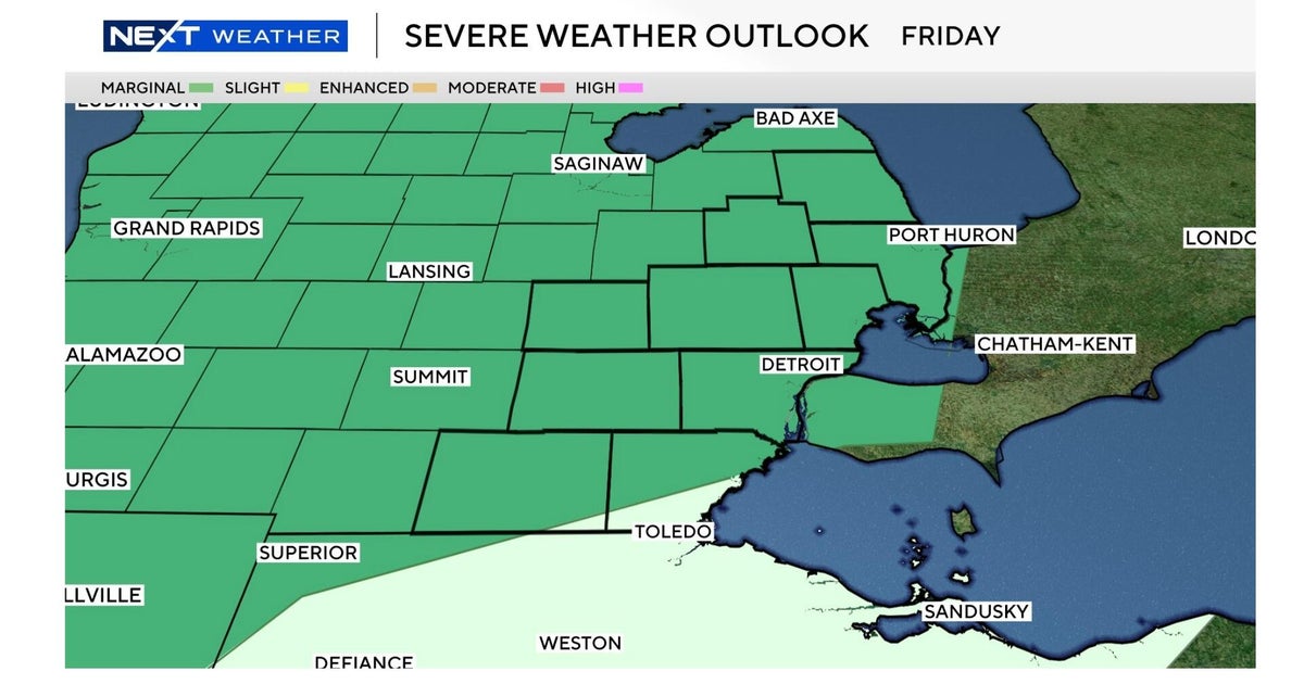
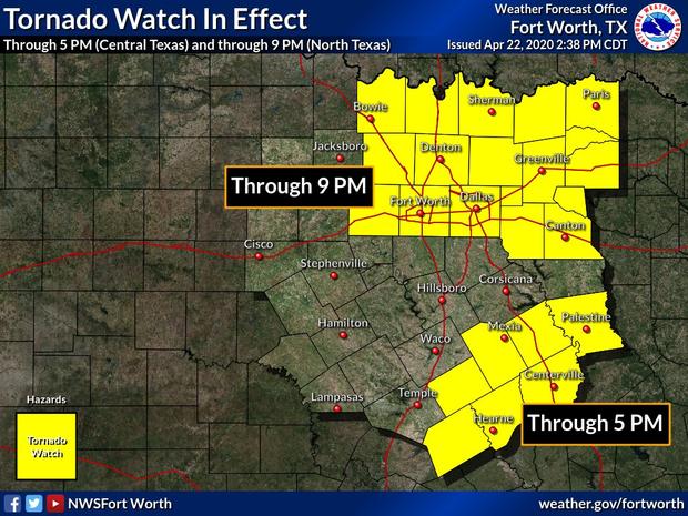
NORTH TEXAS (CBSDFW.COM) — A tornado watch has been issued for the DFW Metroplex and east, the National Weather Service reported Wednesday afternoon.
The watch has been issued through 9 p.m. for Dallas, Tarrant, Denton and surrounding counties.
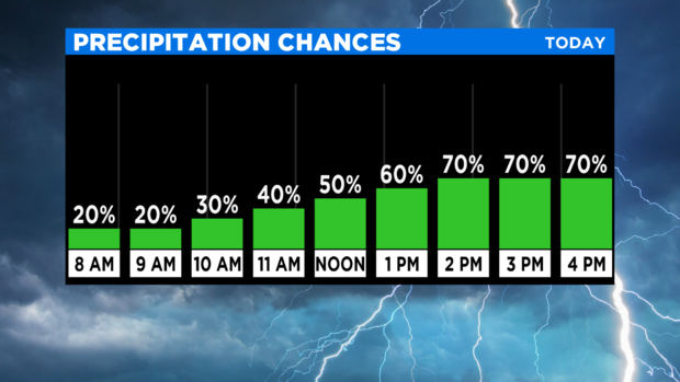
Ahead of that, North Texas saw a somewhat quiet morning with heavy cloud cover and humid conditions.
But by late morning to midday, parts of North Texas began to see some scattered storms develop across the area with the main threat being large hail.
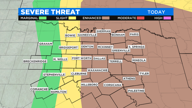
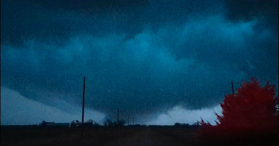
More widespread severe weather is expected to arrive to last into the evening.
In this time frame, all severe weather modes will be possible: very large hail up to 2 inches, damaging wind gusts up to 70 mph and tornados. Heavy downpours will be likely within these storms, creating a flash flood concern as well.
While the primary focus for severe weather is along I-35 and points east, any storm that develops across North Texas today could quickly turn severe.
Storms will diminish after Wednesday evening in time for a quiet overnight.