Severe weather threat mainly exists in southwest North Texas counties
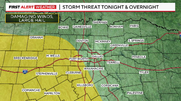
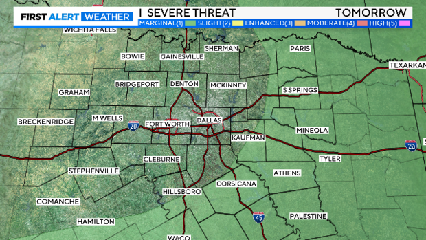
NORTH TEXAS – The threat of severe weather is mostly in our southwest counties Saturday night.
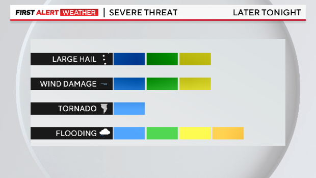
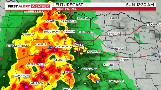
Large hail (2"+), damaging winds (70 mph) possible with these storms. The tornado threat is low. The flood risk is high.
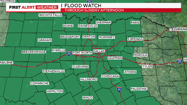
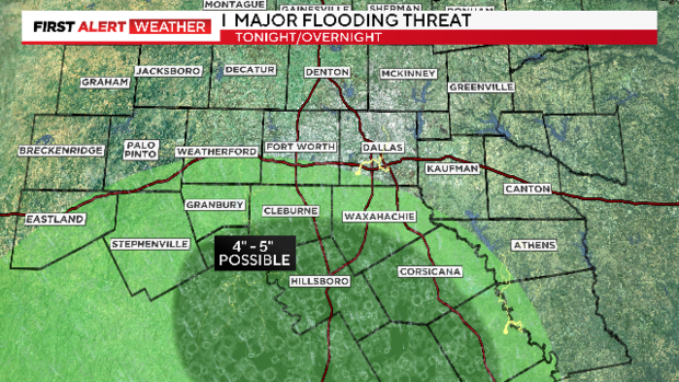
Lots of rain lately and more on the way. All of North Texas is under a Flood Watch until Sunday afternoon. Any of these counties in green could get a flooding rain overnight (2-3").
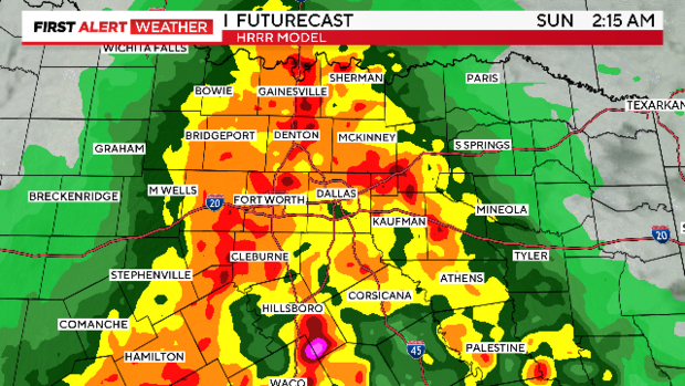
Some areas (mostly south) could get up to 4" of rain overnight into Sunday morning. We'll be watching our southern counties centered around Hill County for FLOOD WARNINGS overnight.
Most of our short-range forecast models put a major storm complex over the Metroplex AFTER midnight.
The severe threat will lessen as the early morning wears on, the FLOODING THREAT however, will start to rapidly increase.
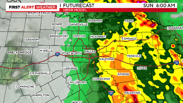
The heavy rain should clear the Metroplex by daybreak Sunday.
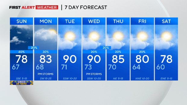
The severe weather threat returns by afternoon across our eastern half. It isn't as high of a threat as Saturday night, but we'll be watching. For most of us. Cinco De Mayo will be cloudy, muggy and in the upper 70s by afternoon after the morning rain.
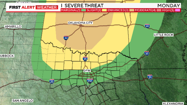
The spring storm season isn't over yet, not even close. We'll have a strong cap in place on Monday but there is a SMALL risk of POWERFUL storms by afternoon. This could be a major severe weather outbreak over Oklahoma.
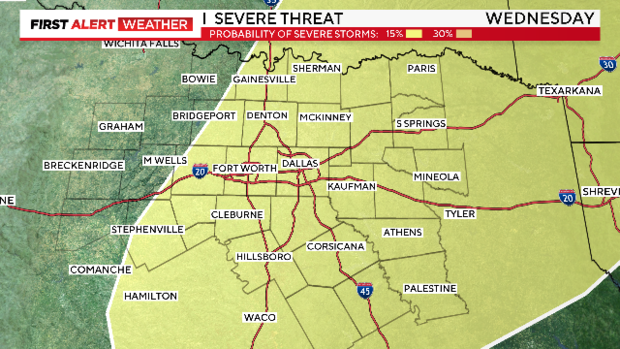
There is ANOTHER risk of severe weather later in the week on Wednesday.
We'll be muggy and in the 90s on Tuesday and Wednesday (DFW has only one day in the 90s this year and that was way back in February). Then a cold front arrives Thursday bringing cooler and drier air for next weekend. Small afternoon storm chances around end of week as well.

