Storms move east of Dallas-Fort Worth, leaving cooler temperatures for Halloween
North Texas is cooling down after overnight storms moved through Wednesday night.
A weather alert was in effect until 6 a.m. Thursday due to the storms. As of 5:45 a.m., the storms were east of Dallas County.
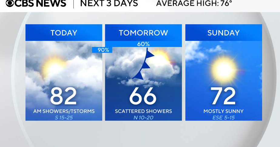
North Texans woke up Thursday morning to temperatures in the high 50s and low 60s. The forecasted high will reach 75 degrees.
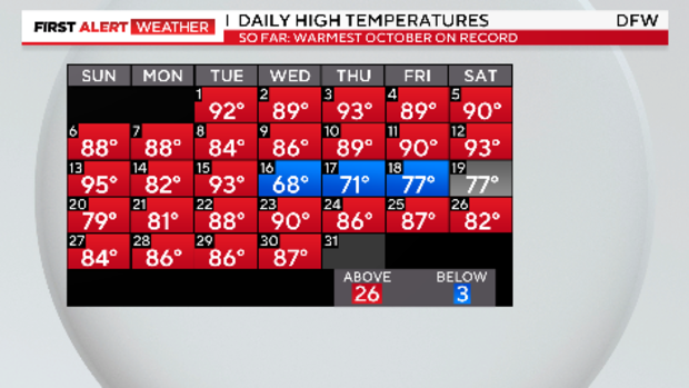
It has been a remarkably warm October. On Wednesday, the high temperature recorded at Dallas-Fort Worth International Airport reached 87 degrees, flirting with the record high of 90 degrees.
CBS News Texas meteorologists expect this October to be the hottest on record.
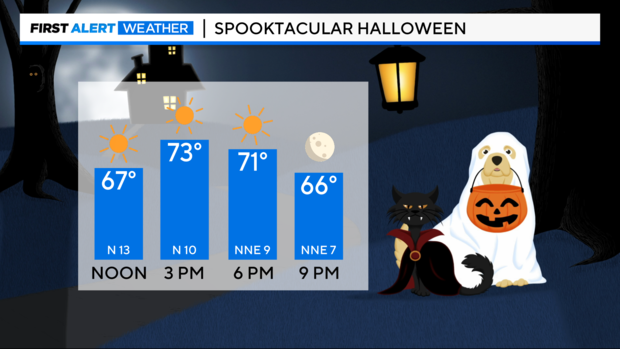
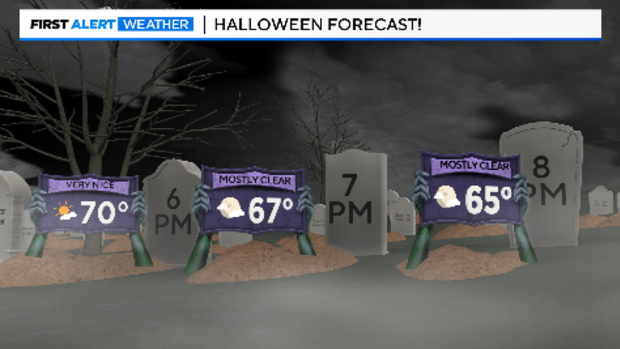
Just in time for Halloween, cooler air will arrive behind the early morning cold front. Humidity will drop and the sun will come out. Weather for trick-or-treating looks nearly perfect.
November starts as an entirely different month compared to the warm and mostly dry October. Rain chances are expected for Friday night football as well as heavy rain over the weekend.
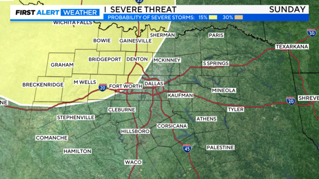
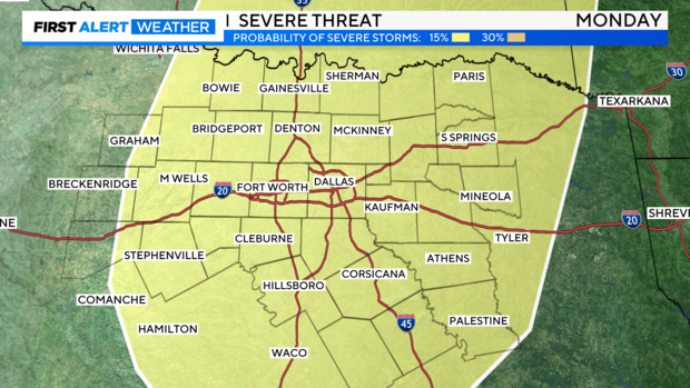
As of Thursday morning, the severe weather threat looked low but could return Saturday afternoon and evening.
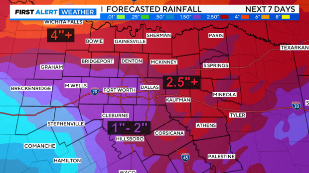
From Saturday to Monday, significant rainfall amounts are expected. Some parts of North Texas could see at least 4" of rainfall.
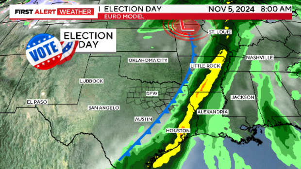
The hope for Election Day is that a cold front will sweep across North Texas during the morning hours and clear out the rain.
Lots of rain and thunderstorms are in store for the next seven days, along with some cooler, more fall-like weather.

