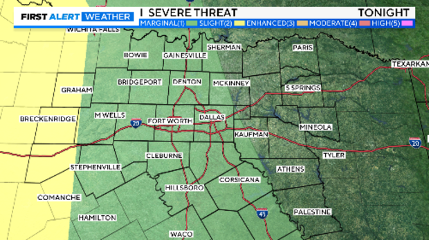
Marginal risk of severe storms exists in North Texas

NORTH TEXAS — The storms threatening North Texas on Tuesday night shifted further west, leaving most of North Texas at a marginal risk, the lowest level.
The slight risk of severe storms is from a line from Wichita Falls south to Comanche and West.
Click here for the metroplex radar loop.
The dry line storms moving east will encounter a relatively stable airmass and are forecast to weaken as they move east.
The Weather Alert will stay in place for the potential of severe storms out west. CBS News Texas meteorologists will continue tracking the potential of storm redevelopment close to sunrise and the Wednesday morning commute.
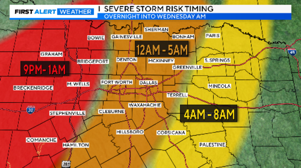
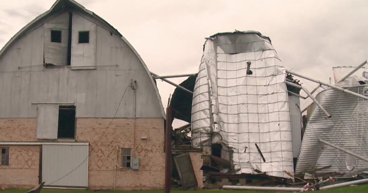
The storms won't be anything like Tuesday morning due to much lower instability overhead. We still could see some small hail and damaging wind gusts.
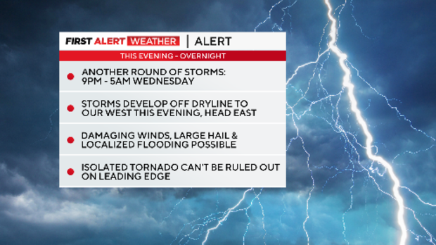
The GRAF has isolated storms that weaken as they near DFW and they arrive earlier. Overall, the models have not been handling the severe weather we have seen lately very well.
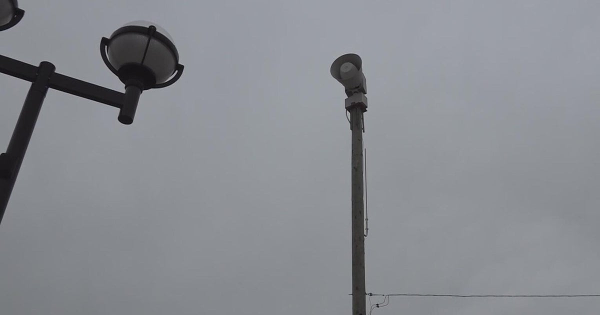
It is important to remain weather aware and up to date with the latest forecasts. Make sure you have multiple ways to receive warnings.
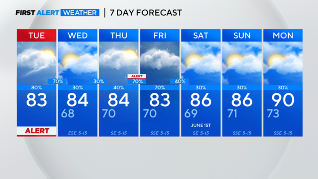
The First Alert Weather Team has issued a weather alert for Thursday night into Friday morning due to the threat of more strong storms and flooding rain.
The flooding risk will continue through the end of the week as rainfall totals continue to add up on already saturated ground. It won't take much for additional flooding and flash flooding across the area.