Severe storms and flash flooding possible Friday in North Texas, but nice weekend ahead
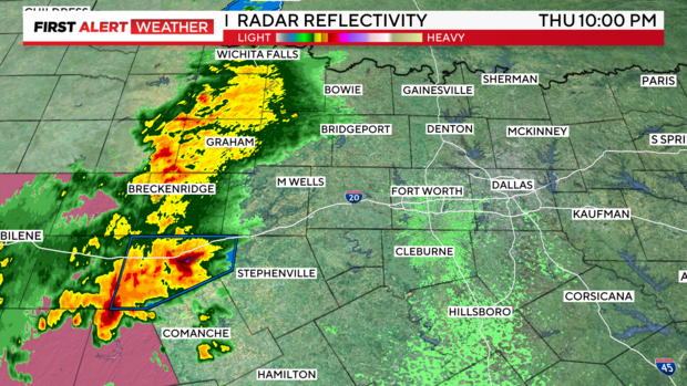
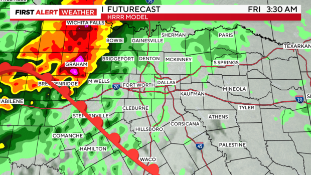
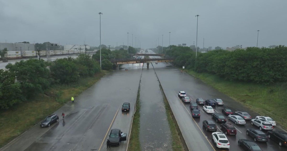
NORTH TEXAS – A line of convection is filling in to our west and accelerating, though still moving at a slower pace of about 25 mph. The significant takeaways are that these storms are producing some flash flooding and are strong, but remain below severe limits. Estimates have them approaching Tarrant and Dallas counties between midnight and 2 a.m.
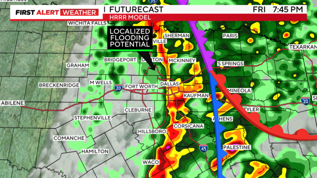
The HRRR is doing a fairly good job of initiating the activity out there now, but it tracks more north than northeast or eastward. We'll see. So far, these storms have filled in and continued moving more east of due northeast. Perhaps the jet can pick up and move them more northward. We'll have to watch radar trends.
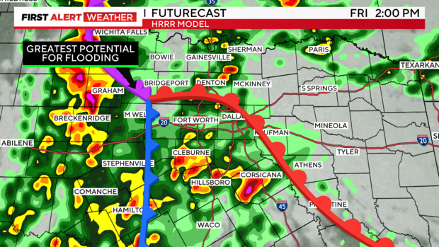
By tomorrow afternoon, we could have intensifying cells and expanding coverage across DFW. THIS is the greatest severe threat window of our day tomorrow, where all hazards are briefly possible.
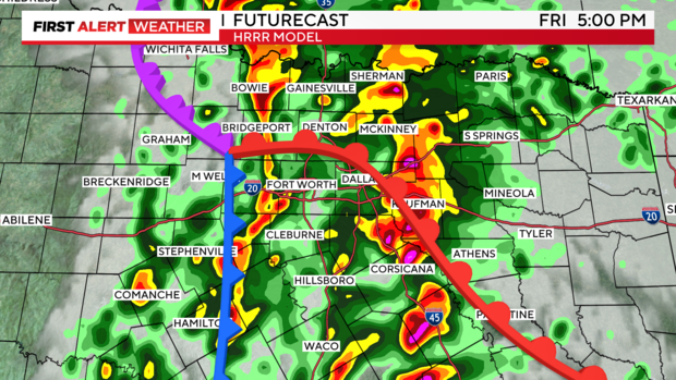
Finally, storms push through late and possibly re-develop with the frontal boundary. THIS is the greatest localized and flash flooding threat window tomorrow.
Front clears and remaining storms exit our DMA to the east, late.
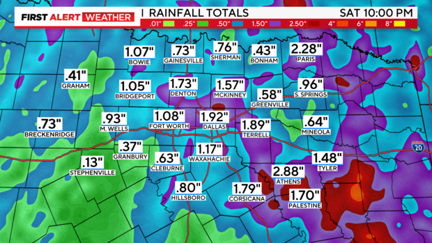
Overall rainfall projections are 1-2", but isolated spots COULD SEE 4-5" in the slowest or heaviest of storms.
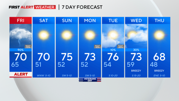
7-day. The weekend will feel amazing! Get OUTSIDE!
Have a great Friday eve, and enjoy overnight thunder and rain if we do get any!
