Severe storm potential Thursday afternoon & evening
Election Day on Tuesday was uneventful until the late afternoon when a few strong storms developed along a leftover boundary from the morning. One storm had enough lift to go severe near 6:30 p.m. with some pea to quarter size hail possible. The storm dropped below severe limits, and as the sun set, the activity continued to wane.
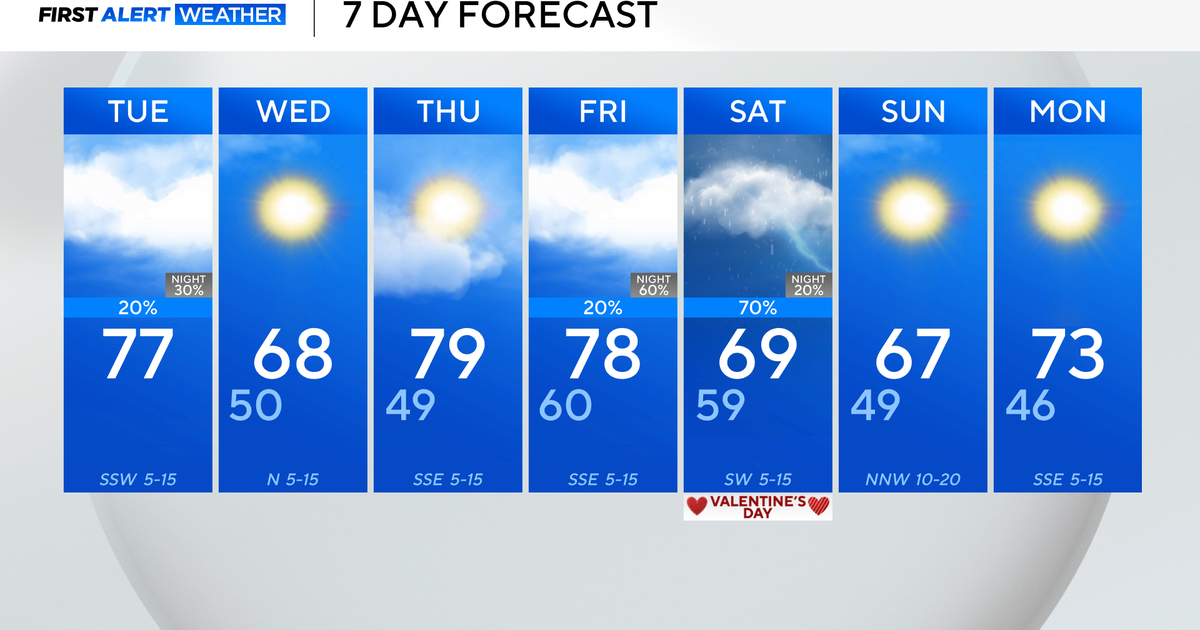
Into Wednesday, we see clouds increase through the day to partly cloudy skies and highs warm to the upper 70s. The rain coverage around 20 percent during the day increases to the 40 percent coverage Wednesday night, with showers and some storms possible. The return of Gulf moisture will aide in storm development in the Big Country and these storms will move NE and into NTX in the evening hours.
These storms could reach severe limits but as of tonight the Storm Prediction Center just has a marginal risk of those storms reaching severe limits. Thursday is a different story with the risk increasing to a slight risk of severe storms for a large portion of NTX including the metroplex.
The biggest threat will be large hail and damaging wind gusts. Rain coverage increases to 70 percent-80 percent Thursday, but the better chance of severe weather is Thursday afternoon into Thursday evening. That is why the First Alert Weather Team issued a First Alert.
The storms themselves will be more isolated in nature so not everyone will see storms Thursday. Friday, we also have some rain or storms in the forecast early before a cold front and drier air moves through NTX. That cold front drops our temps to highs barely in the upper 50s on Saturday and morning temperatures back to the low 40s to upper 30s Sunday AM. Then we have sunny skies and a nice start to next week with highs back into the mid-70s by Tuesday.


