September heat wave brings summer-like temperatures back to North Texas
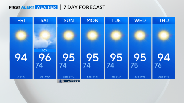
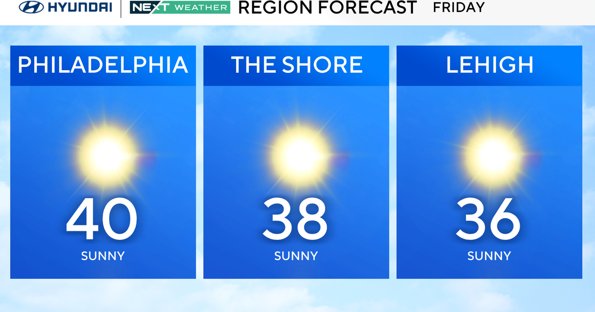
Clear skies and sunshine are in store for North Texas on Friday, which will be the hottest day in the region since Sept. 1.
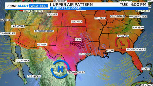
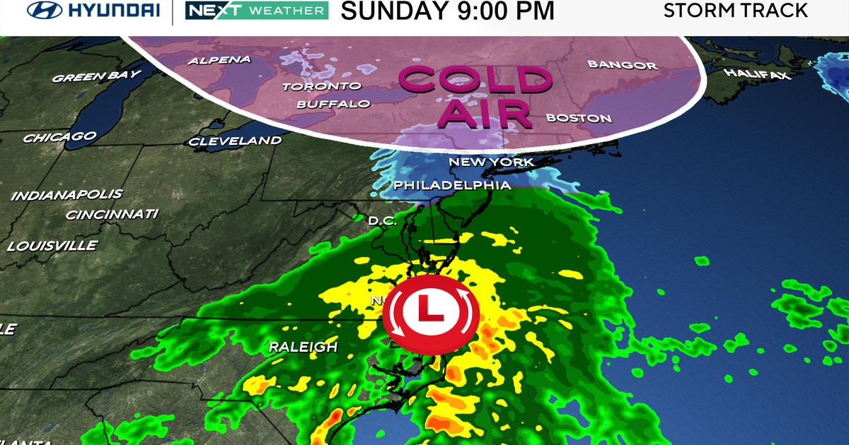
A ridge of high pressure is building over the Southern Plains, behind the remnants of what was Hurricane Francine. The high pressure will stay in place through the weekend and most of next week, leading to mostly clear skies and a September heat wave.
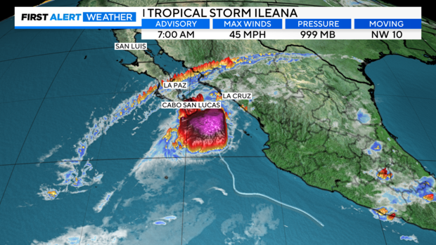
The First Alert Weather team is monitoring the Pacific for Tropical Storm Ileana. The system is moving northwest toward the Baja Peninsula in Mexico. Cloud cover from Ileana will get pulled into the Southern Plains, and North Texas will see some high-level cloud cover on Saturday.
A weak disturbance may move into North Texas late Saturday night, leading to a small chance of a few showers or an isolated storm.
The rain chance remains low or non-existent through next week, so plan for feels-like temperatures to hit triple-digits again.

