Rain returns to North Texas bringing cooler temps
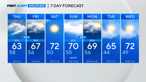
NORTH TEXAS — It was a cloudier but dry Wednesday, and highs reached the low 70s in the metroplex!
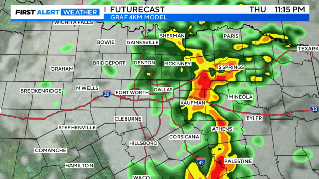
Make sure you've got the rain gear ready to go for Thursday though. We've got a 90% chance for rain and storms, and temps will be noticeably cooler.
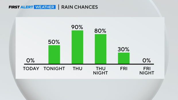
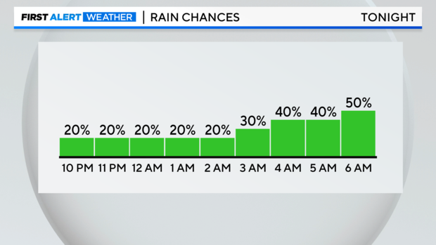
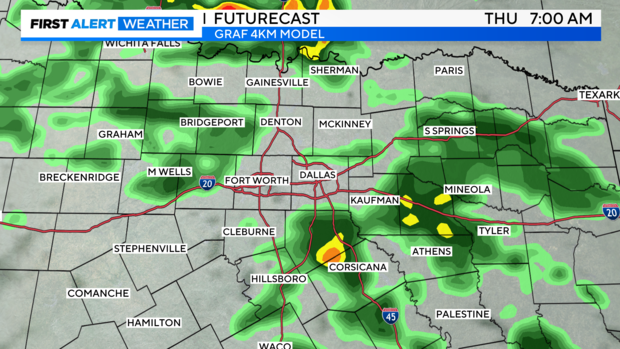
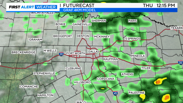
Rain chances are expected to pick up closer to the morning drive time on Thursday.
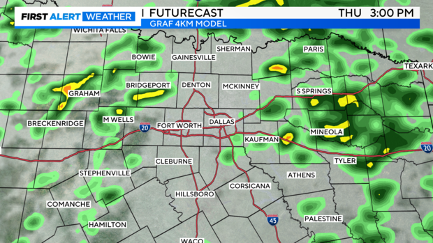
Then we just have to be ready for on-and-off rain and storms throughout the day Thursday. Clouds and rain will keep temps cooler, in the low to mid-60s for most.
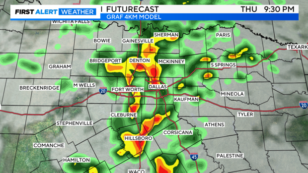
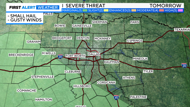
Heading into Thursday evening, a few stronger storms will be possible, especially the farther southwest you are. These storms could produce some small hail and gusty winds. They should be weakening as they move east, but will still be capable of heavy rain.
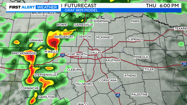
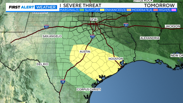
The Storm Prediction Center shifted the level 1 "marginal" risk area farther west. As we've been stating the last few days though, the better dynamics are in Central Texas. You can see the level 2 "slight" risk area extending from near Austin all the way down to Houston.
Showers will be around in the morning Friday, but we're expecting clouds and rain to clear from west to east in the afternoon. Saturday looks great, but Sunday will be cloudy and some stronger storms will be possible Sunday night into Monday.