Rain possible throughout the work week
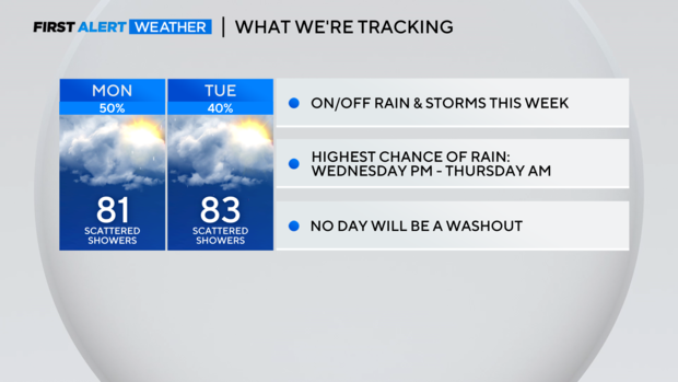
NORTH TEXAS (CBSNewsTexas.com) – Keep your rain gear handy. We're tracking on and off rain and storms in your First Alert Forecast this week.
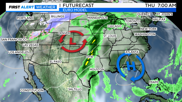
An upper-level low to our west will keep our weather unsettled for much of this week, allowing tropical moisture from the remnants of tropical storm Norma (in the eastern Pacific) and moisture from the Gulf of Mexico to push over our area.
What does that mean? We'll have a better opportunity for showers and storms to develop.
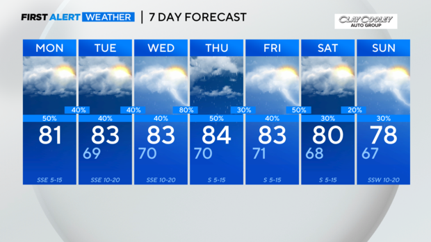
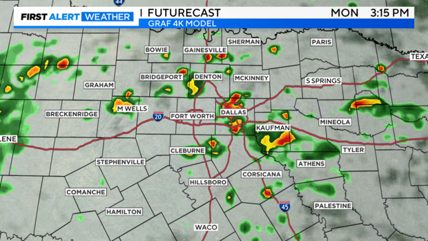
As we move through your Monday, we'll see mostly cloudy skies and a few scattered showers around. Isolated storms are possible, but we're not expecting a washout. Again, the rain will be on and off today. The rain chance is at 50%. High temperatures will be in the low 80s.
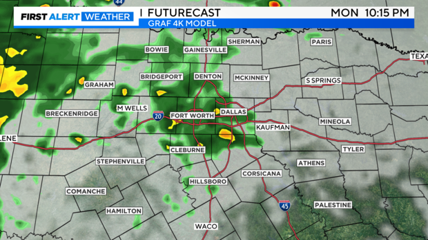
Tonight, expect cloudy skies and a chance of showers. Low temperatures will be in the upper 60s.
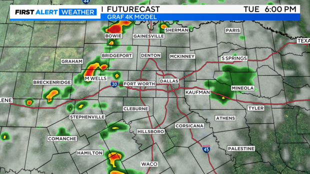
On Tuesday, we'll see mostly cloudy skies and a chance of showers. Highest rain chances will likely be west of I-35. The chance of rain is around 40%. High temperatures will be in the low to mid 80s.
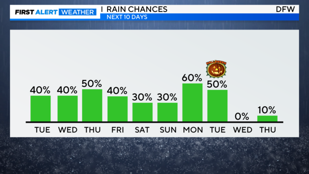
Our highest threat for rain and storms will arrive Wednesday night into Thursday morning as a cold front crosses North Texas. Periods of heavy rain are possible. Some strong storms could also develop. We'll watch the forecast closely.
A few showers and storms are also possible Friday into your weekend. Again, no day will be a washout.
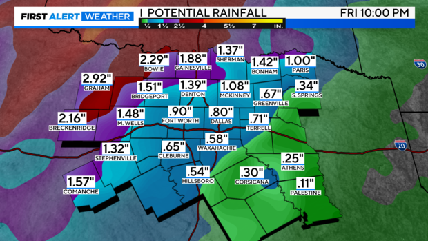
From today through Friday, parts of North Texas could see between 1 and 2 inches of rain, especially areas west of I-35.
If you're headed to Game 7 of the ALCS in Houston tonight, expect partly cloudy skies with temperatures in the upper 70s.