Rain chances increase in North Texas towards the end of the week
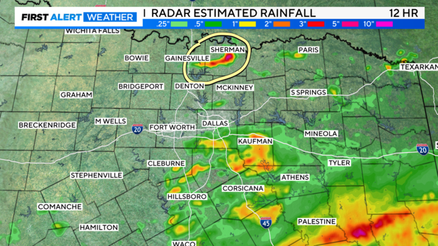
NORTH TEXAS — While the rain hasn't been as widespread as it was Monday, we have had a few cells drop some heavy rain.
The area circled in Grayson County was under a Flash Flood Warning from 2-4 p.m. and received 3-4" of rain with some isolated amounts closer to 5". These storms eventually rain themselves out, but we've got a few more hours before we lose the daytime heating.
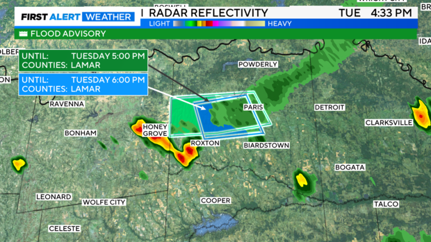
As of 4:30 p.m. Tuesday, parts of Lamar County are under a Flash Flood Warning or Flood Advisory, but these storms have also fizzled out. Notice along the boundary though that another storm has developed near Honey Grove. We'll keep low rain chances, 20% or less, in the forecast through sunset.
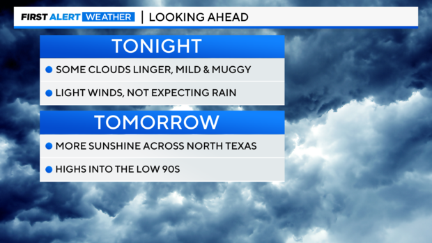
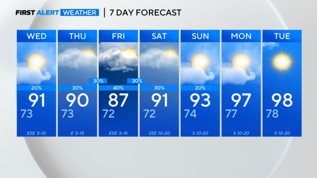
Heading into the overnight hours, some clouds will linger, especially east of 35, but we shouldn't see much of any rain after sunset. Wednesday should feature a little more sunshine than today, and highs are forecast to reach near 90°.
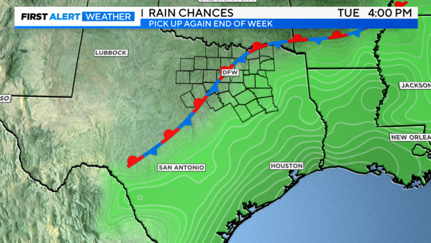
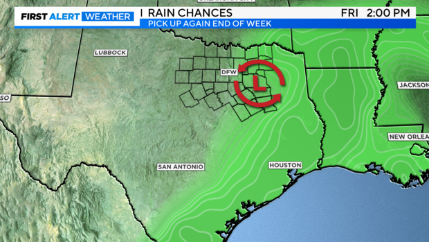
Rain chances will remain better the farther south and east you are through the work week.
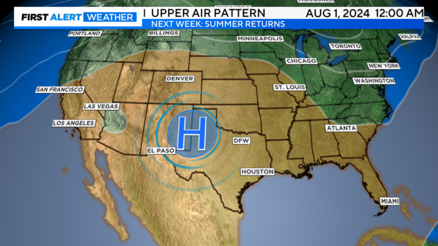
As North Texas is caught between two areas of high pressure, one to the west and one to the east, North Texas can expect a little energy caught between the two areas of high pressure to bring better rain chances to North Texas Thursday through Saturday.
Next week it's back to one wide swath of high pressure building in over the central and southern U.S. That's when high temperatures will warm back to near or above normal.
