Quieter overnight, more storms possible Sunday night
NORTH TEXAS – Welp. The storm season isn't done with us yet, even when our storm chances are only isolated and there aren't any major markers for activity.
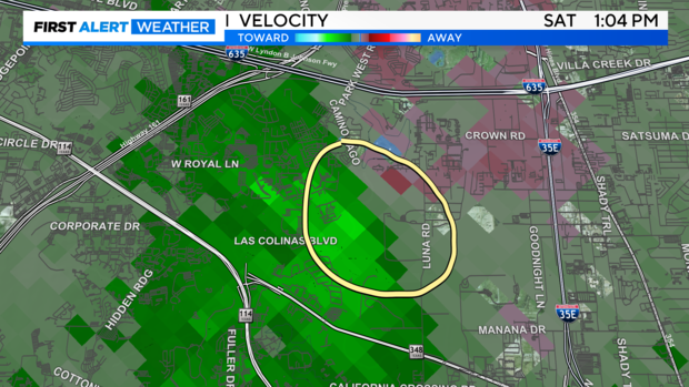
The remnants of a storm system to the west overnight sparked new storm development in North Texas on Saturday morning, and we had a few isolated severe storms Saturday afternoon in North Texas. There was a "mini microburst" around 1 p.m. that produced 70-80 mph winds in Irving and damaged the Irving Police Department's northern station. It's barely discernable on radar – looking like nothing more than some gusty winds – but sure enough the damage was done.
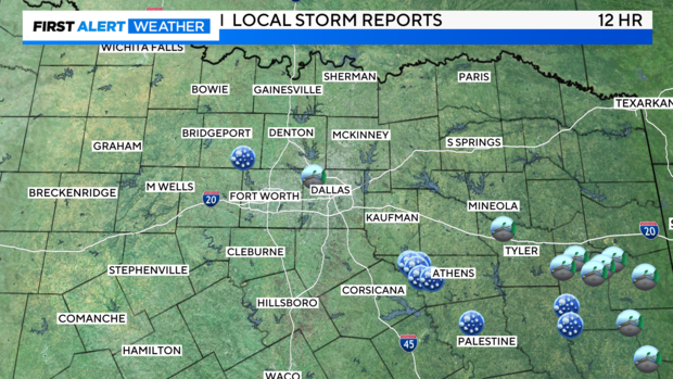
That storm tracked east/southeast, but another storm behind it tracked farther southeast into Kaufman and eventually Henderson and Anderson counties, producing some moderate to large size hail. (reports of tennis ball to baseball size hail in Malakoff).
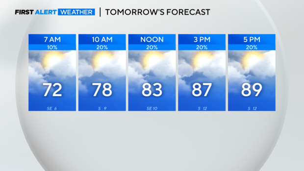
All of this activity is moving east Saturday night, and I do not anticipate storms or a severe threat overnight. In fact, most of Sunday looks good too.
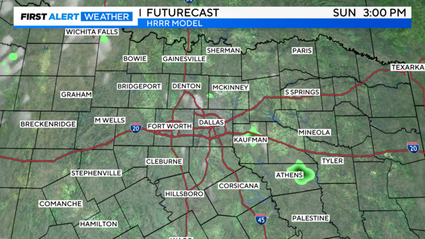
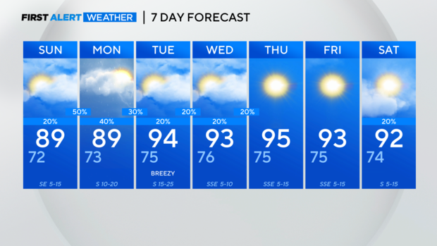
I've got isolated storm chances in the afternoon, but I'm more concerned about what we might see heading late Sunday night into Monday morning.
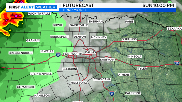
While I don't believe this warrants a weather alert just yet, we'll have to watch out for storms approaching from West Texas late in the evening.
I think these storms will be moving into our western counties between 10 p.m. and midnight Sunday into Monday.
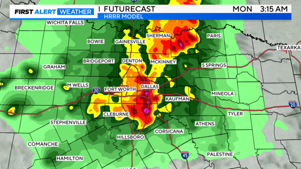
As these storms get closer to North Texas, they're expected to move into a more capped environment and weaken. But with all the rain we've had, the flooding threat will certainly be there. And if these storms don't weaken, then a wind and hail threat would be there too.
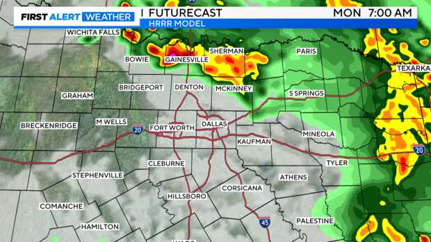
If this does in fact materialize, we'll have to watch to see if the atmosphere is worked over enough to limit storm activity into Monday. For now, short-range models are suggesting we could see more storm development around that initial overnight round.
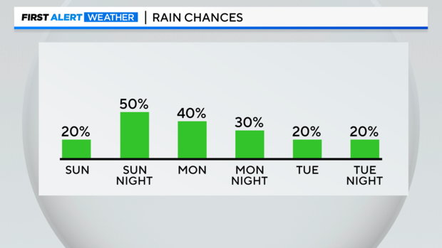
For now, I have rain chances highest overnight Sunday into early Monday. By Tuesday, the rain/storm chances drop to 20%. It will be warm and windy Tuesday, and the heat stays on through the end of the week and into next weekend.
