One More Nice Day, Then More Storm Chances
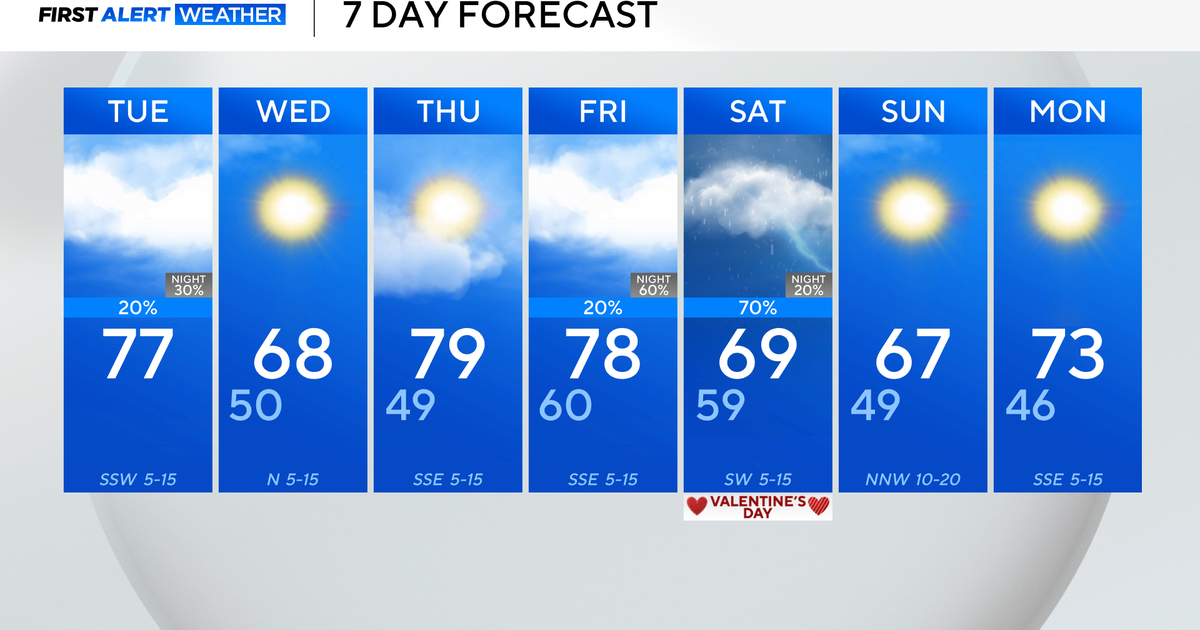
FORT WORTH (CBSDFW.COM) - What a great stretch of weather we have seen. Monday has featured another great sunny day with low humidity. We will get one more really nice day with low humidity and not much wind. Tuesday will be mostly sunny with morning lows in the 50s and afternoon highs a little warmer but still pleasant in the upper 70s.
STORM CHANCES BEGIN ON WEDNESDAY…
A very powerful upper level low that is now spinning over California will slowly move east the next few days. By Wednesday, this upper level low will be situated over Utah and Colorado. In this position we will be under a southwest flow aloft. That means the upper level winds are coming from the southwest to the northeast over North Texas. In this flow, disturbances will rotate around that upper level low and move over Texas.
Upper level disturbances are what can help create thunderstorms, but you need a trigger at the surface. The dryline will serve as that focus starting Wednesday afternoon. The dryline will likely stay well west of Dallas and Fort Worth on Wednesday and Thursday. But as storms move off the dryline on Wednesday and Thursday they will move into our western counties. On Thursday, storms may get a little closer to the metroplex. Each of these days severe storms will be possible.
FRIDAY…
This will be the day when everyone has the best chance of seeing thunderstorms with some of them being severe. The dryline, pseudo Pacific cold front, will be moving closer to the I-35 corridor on Friday. Another stronger upper level disturbance will be arriving allowing for thunderstorms to develop during the day on Friday. The timing of these storms will influence the magnitude of severe weather. If we have storms develop earlier in the day, the severe threat may not be as high. But if storms hold off for the heating of the day, widespread severe weather appears likely.
SATURDAY…
There will still be upper level energy moving over North Texas on Saturday. The Pacific cold front will likely stall out over the area and more showers and thunderstorms appear possible. Saturday's storm chance would favor eastern sections of North Texas.
SUNDAY AND MONDAY…
Behind the departing upper level low we will see ridging aloft with temperatures warming to near 90 on Sunday and Monday. Another upper level system arrives on Tuesday with more storm chances then.


