North Texas marks the hottest day of the year ahead of weak cold front
NORTH TEXAS — DFW marked the hottest day of the year at 107 degrees on Monday. The previous high was 108 set last year.
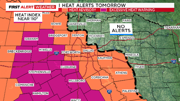
Tuesday, our Heat Alerts have shifted west. Most of the metroplex is under a heat advisory. Feels-like temperatures will hover just over 105° by afternoon.
The western half of North Texas as well as a few more southern counties are under the more dangerous excessive heat warning. Highs will reach near 105°, feels-like temperatures will approach 110°.
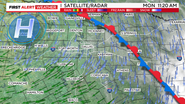
The frontal boundary is knocking on our door. Prior to passage, we could experience a little compressional heating, briefly warming things up. The frontal passage now appears to be during the day on Wednesday, a bit earlier. Following the frontal boundary Tuesday, we'll warm back up through the weekend, and still be flirting with some heat indices between 101-107.
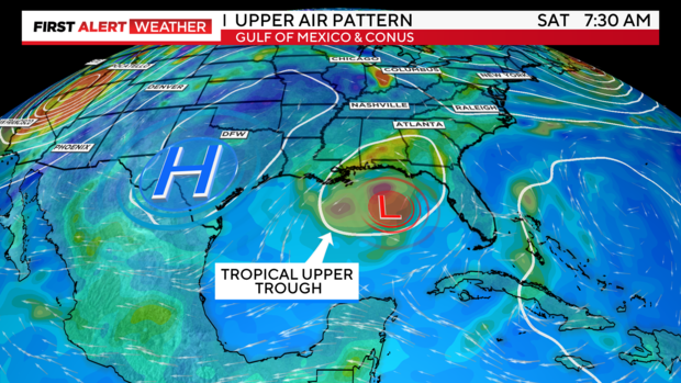
We're watching a "tropical upper-tropospheric trough" or (TUTT) appears likely to emerge over the northern Gulf by the weekend.
This is simply a 'dip' or weakness in the jet stream of atmospheric winds but over the tropics. Why does this matter?
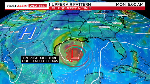
Regardless of any possible organization, it should help transport deeper tropical moisture westward towards the state of Texas and the western GC. This could help to bring us better rain chances next week.
Medium to long-range models have been trending in a positive direction for next week, but there's plenty that can still change. However, tropical moisture from the Gulf, along with returning activity from the north and northwest, should all help us with this heat and possibly bring back decent rain opportunities.
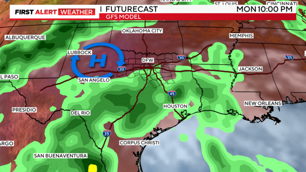
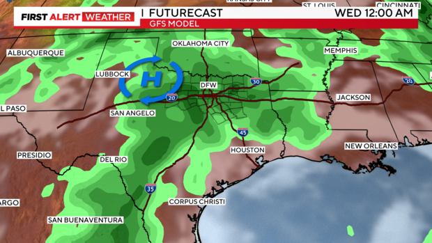
Here's the GFS trend for the middle of next week. We hope this trend continues to show.
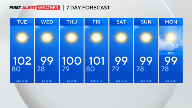
7-day forecast.

