Patchy morning fog possible in North Texas ahead of a temperature swing
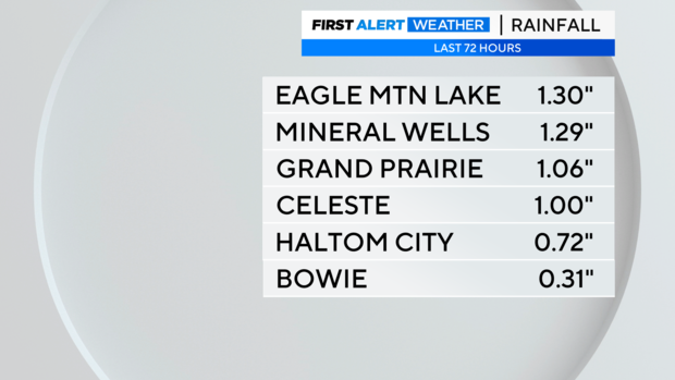
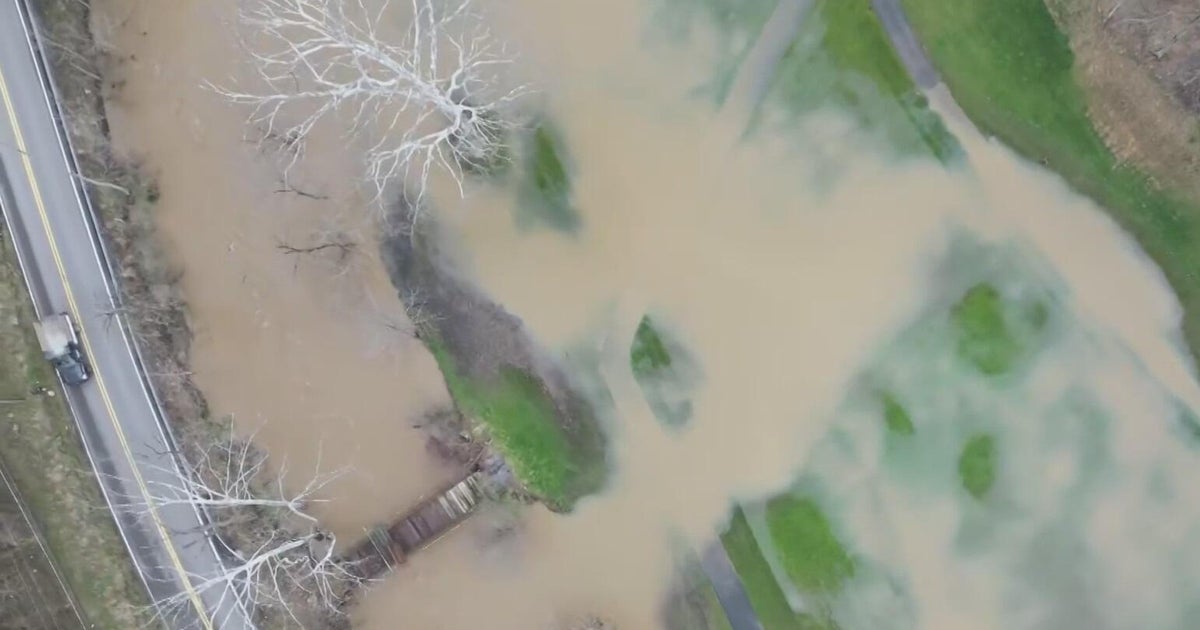
It has been a dreary weekend. In fact, in the past 72 hours, some spots have received over an inch of rainfall.
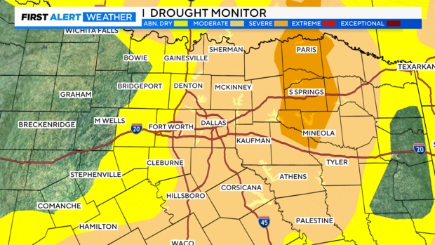
This accumulation is much needed and will help with the ongoing drought. The drought monitor will be updated this coming Thursday with the new results, but as of now, most counties are under a Moderate drought. This means that the grounds are drier than normal and are in need of rain.
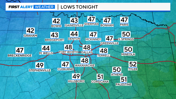
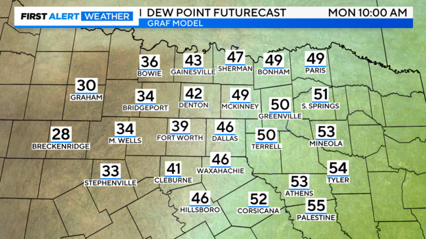
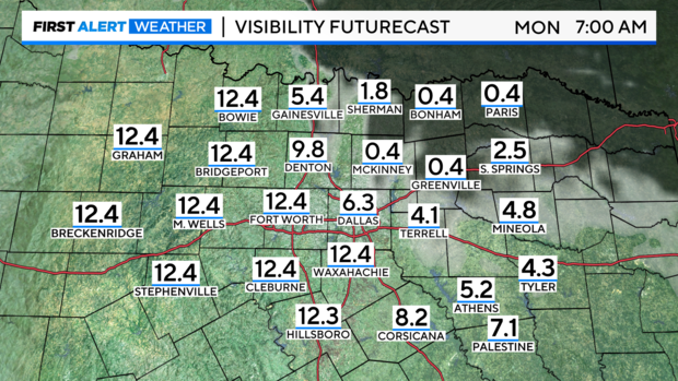
As for the rain streak, it has officially ended for about a week. However, a plume of moisture will stick around overnight across the northeastern counties. The light winds, chilly mornings, and a moist atmosphere will allow for fog to form on Monday morning.
Visibility could be significantly reduced in some locations for the morning commute. Please remember to use low-beam headlights and drive with caution.
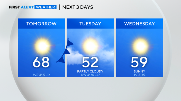
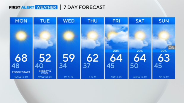
By Monday afternoon, temperatures will warm up into the upper 60s, sitting nearly 10 degrees above normal. The warmth won't last long. The next impactful cold front is forecasted to move through Monday night into Tuesday. This will allow for a big temperature dip.
Cooler air settles across the region on Wednesday morning, bringing another freeze potential. After that, the mercury continues to climb entering the next weekend as well as the next chance for rain.
