Muggy, humid day ahead for North Texas before cold front moves in
NORTH TEXAS – Wednesday will be hot and humid across Dallas-Fort Worth despite more cloud cover on the way.
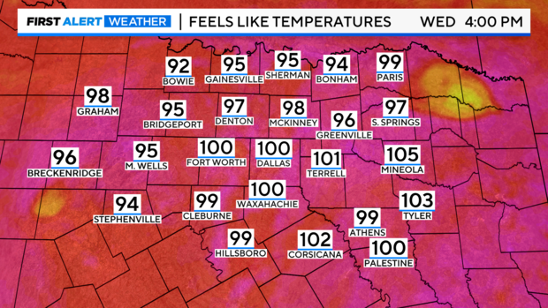
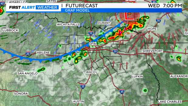
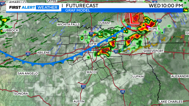
While the actual temperature won't reach 100 degrees in most of North Texas, the "feels like" temperature will warm to above 100 degrees in some spots. This is thanks to dew points being in the low to mid-70s Wednesday ahead of the late afternoon front. Scattered showers and some isolated strong storms can't be ruled out as the front moves through.
That front is expected to develop around 3 p.m. to 4 p.m. and continue until 8 p.m. in parts of North Texas.
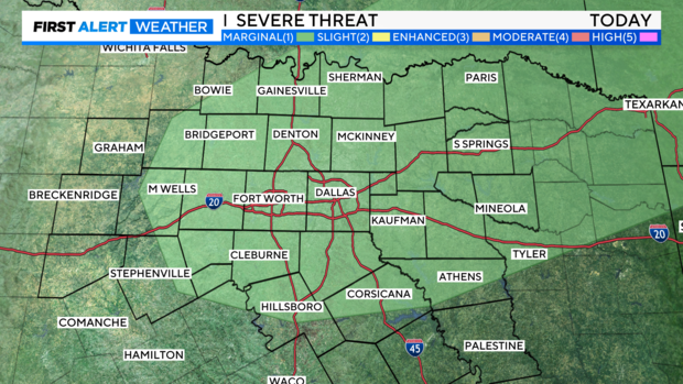
There is a marginal risk that some of these storms could reach severe limits with the biggest threat being damaging wind gusts.
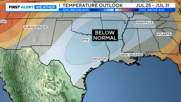
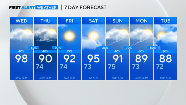
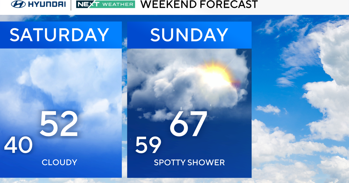
The cooler air arrives as soon as Thursday with high temperatures warming to the low 90s. A Canadian low-pressure center allows cooler air in the Dakotas and Canada to spill down the Central Plains and into North Texas this weekend. Temperatures will be more like late May than mid to late July.
With the low pressure over the Midwest this weekend into next week our weather pattern also sets up for the potential of some much-needed rain. High temps in the 80s are in the forecast to start next week and rain chances are up to 70% Sunday night into Monday.

