Modest storm chances midweek, smaller chances over weekend in North Texas

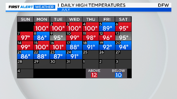
NORTH TEXAS -- Yes, we are counting! Today makes EIGHT days in a row of below-normal highs.
More sunshine peeked through the clouds Thursday, and high temperatures reflected it. We were warmer than yesterday with very little rain, but all of that is about to change.
Heading into Thursday morning, expect cloudier skies the farther east you go, with a chance for some patchy fog. July fog is extremely rare, occurring about one day with dense fog every 10 years over the last 30 years.
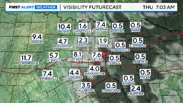
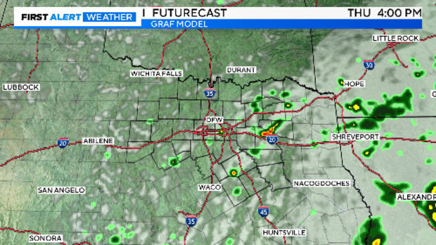
We experienced significant fog Wednesday morning, especially in areas with recent rainfall. The fog is expected to dissipate by mid-morning Thursday. More rain is anticipated to develop later. A 30% chance of storms is forecast for Thursday afternoon.
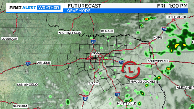
Similar conditions are expected on Friday as a mid-level low moves over East Texas, heading north.
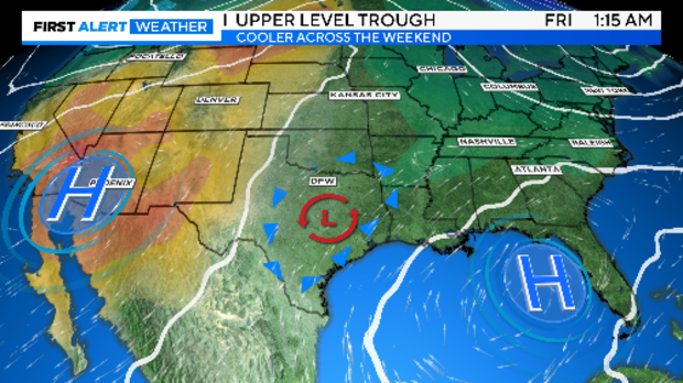
The cooler weather, unusual for July, will persist this weekend. An upper-air trough remains over us, situated between two areas of high pressure -- one to the west and one to the southeast.
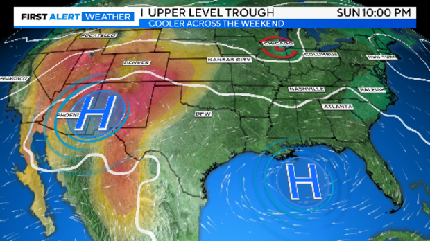
As we head into the second half of the weekend, the disturbance will continue moving north. The two areas of high pressure will begin to merge and build over the central and southern U.S., bringing temperatures back to normal.
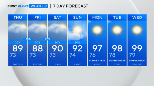
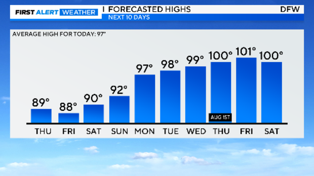
Normal temperatures for this time of year is 97 degrees. We'll reach that, or close to it, by Monday, and it will only get hotter from there.
Here's your 7-day forecast: Small afternoon storm chances on Saturday and Sunday. After that, expect the hot and dry summer weather typical for this time of year.