Mid-July cold front heads for North Texas
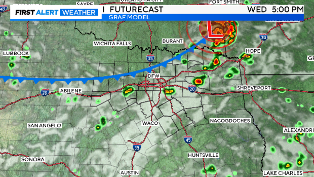
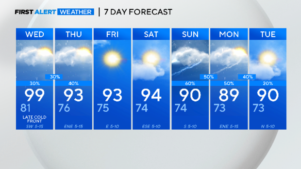
NORTH TEXAS — A cold front arrives Wednesday late afternoon. It brings cooler weather and rain chances, a rare statement for mid-July.
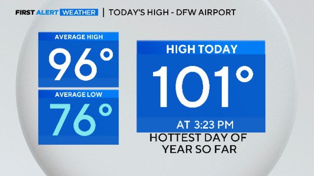
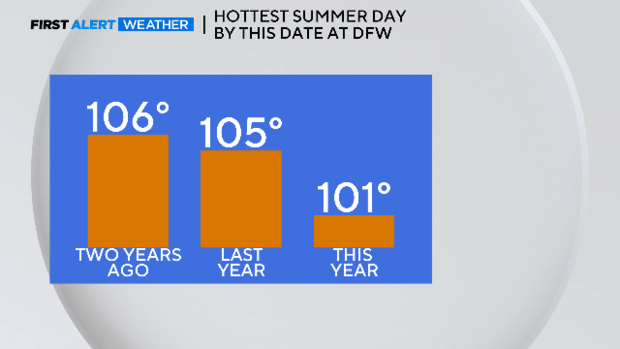
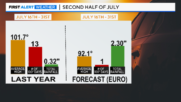
By this date last year, the high temp was 105°. It was even hotter two years ago.
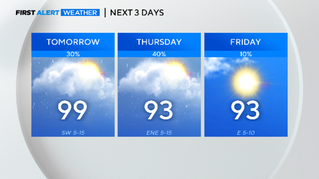
We'll have one more hot day Wednesday, but there is no heat advisory and not another one for at least the next 10 days.
The cold front arrives end of day to keep us just short of triple-digits.
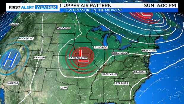
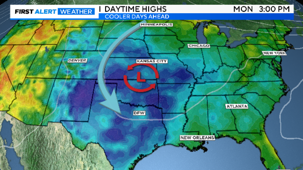
We are forecasting an unusual weather pattern for mid-July. This time of year we start, climatologically speaking, the "heart of heat season." Usually, it's a huge dome of high pressure sitting over the Central Plains. At the end of weekend, we are expecting the complete opposite, an upper-level low.
This weather pattern brings with it several chances of rain along with cooler temperatures.
Just compare what we expect from this pattern with how the last two weeks of July ended last year. It almost looks like two different seasons. The "EURO" is the European Ensemble model that runs to the last day of the month.
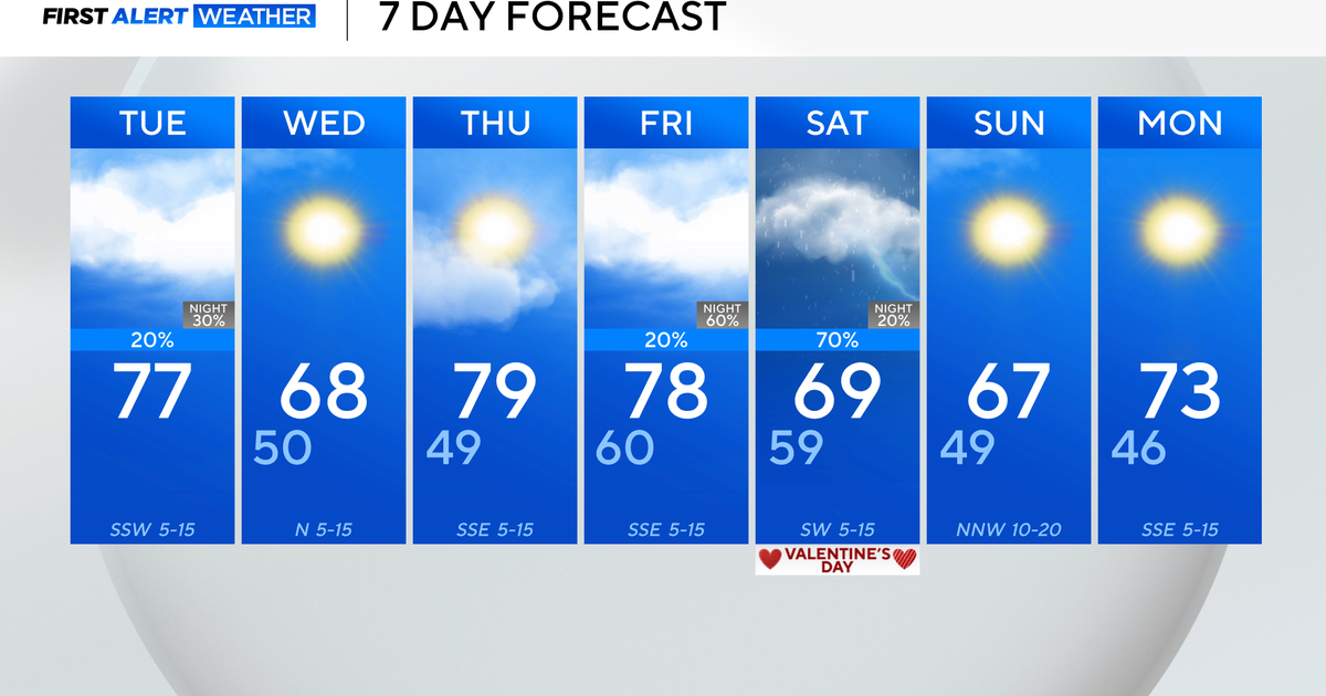
Here is your 7-day forecast. There is a good chance for some much-appreciated rain on Thursday and an even better chance on Sunday and Monday.
