Less Rain, Just A Little Warmer
Cool and wet of late. That's not phrase normally used to describe the weather in August across north Texas. Yesterday it stayed in the low 80's across the afternoon after a morning rain of an 1" plus. That followed a 2"plus rain on Friday, our 2nd biggest summer one-day rain this year. That made for the biggest two-day August rain since 1983. Right now we are at the 6th wettest start to August on record.
Rain chances today stay across our southern tier counties along a stationary front. Occasional rain/storms all day under cloudy skies for areas south of a Cleburne to Canton line. The FLASH FLOOD WATCH issued earlier for this area has been lifted.
For the rest of us great weather for the last day of summer for many kids across north Texas. Partly cloudy skies and temperatures in the mid-80's. That really humid air of late is even taking a break thanks to a northeast wind:
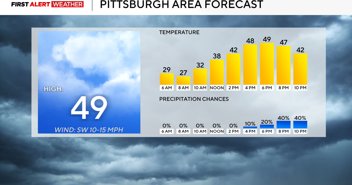
Tomorrow we'll have that stationary front start to drift north across the Metroplex. Rain chances increase as the day goes on:
For back to school temperatures will be pleasant for August but rain gear might be needed, especially for the pick up:
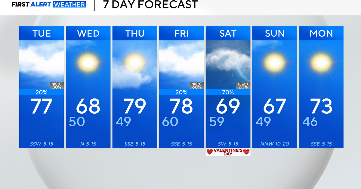
We'll start to dry out Tuesday mid-morning on. The next rain chance shows up on Friday when a weak cold front stalls along the Red River:
Notice highs this week back in the 90's but staying below normal. What a run of cool weather its been here in the what is traditionally the hottest month of the year. In fact when we look at the temperatures since last Monday at DFW and ahead till Tuesday this stretch of weather will qualify as the coolest run of August weather since 1992!


