Isolated afternoon showers and storms ahead for North Texas
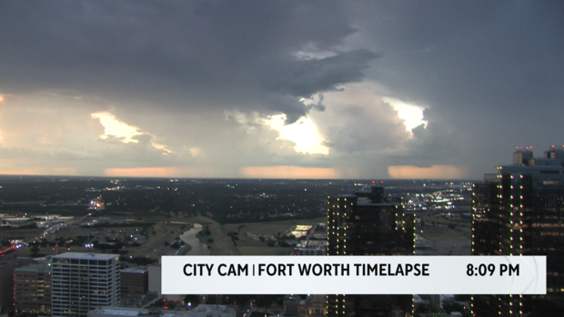
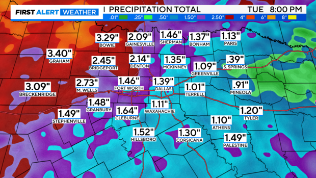
NORTH TEXAS — Tarrant County had some strong thunderstorms Tuesday evening, some even reaching significant weather advisory criteria. Radar estimates show swaths of 0.5-1" of rain in the paths that the heaviest storms traveled, and one bullseye close to 1.75" near Lillian.
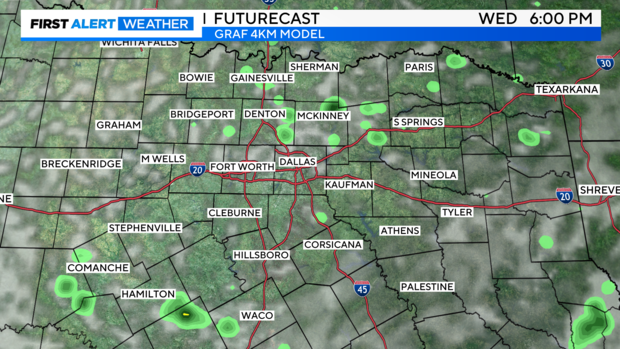
Over the next two afternoons, North Texas can anticipate the same thing as Tuesday evening, just not perhaps in the same spots. Very scattered cells should pop up in the heat of the afternoon and dissipate by sundown. Don't take the coloring to heart here, some cells could be heavy, just as they were Tuesday.
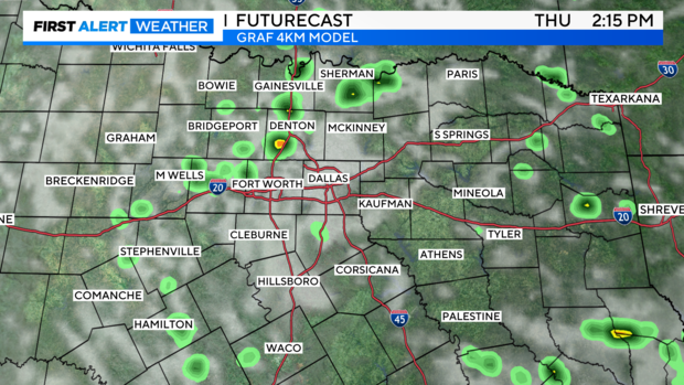
The long-term Euro model continues to depict our much-advertised cold front arriving sometime late Thursday-Friday. We'll be able to nail down the timing in a day or so when higher-resolution models start reaching the timing of the event. Regardless, look for an increase in rain chances.
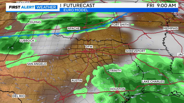
The trend is our friend!: The Euro model continues to trend, run-to-run, towards more rainfall over the next week, with some spots probably seeing higher amounts, depending on individual storms and the front's timing and/or some stalling.
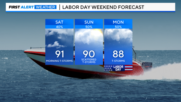
Labor Day weekend is still not expected to be a washout. But, hit/miss thunderstorms will still be prevalent each day, so lake-goers and anyone outdoors should still stay apprised and be close to our app or a radar.