Hope you like it cold, more arctic air coming to North Texas
NORTH TEXAS- It was a gorgeous day! Highs made into the 50s and even 60s this afternoon!
Hopefully, you made it outside to soak up some of the sunshine and mild temperatures because another arctic blast arrives overnight.
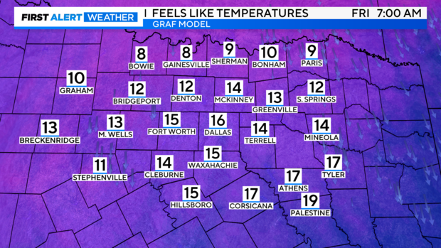
Send the kids off to the bus stop tomorrow morning with lots of layers, gloves, hat and scarf because wind chills are back to the 10s!
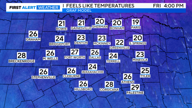
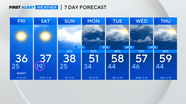
Breezy northerly winds will continue to draw in cold air tomorrow keeping highs in the 30s and wind chills in the 20s.
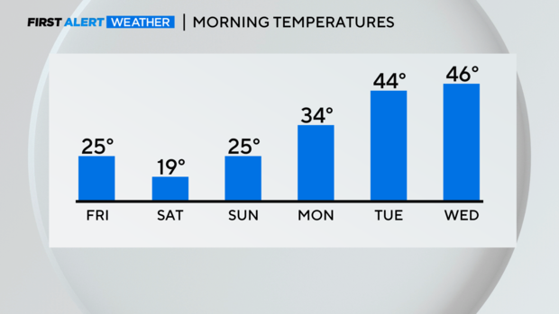
Saturday morning will be even colder with temperatures dropping to in the teens. Some areas will have wind chills in the single digits.
From there our mornings get noticeably warmer, even back in the 40s by Tuesday.
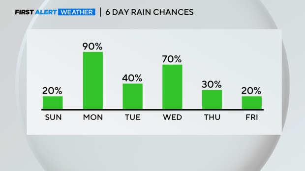
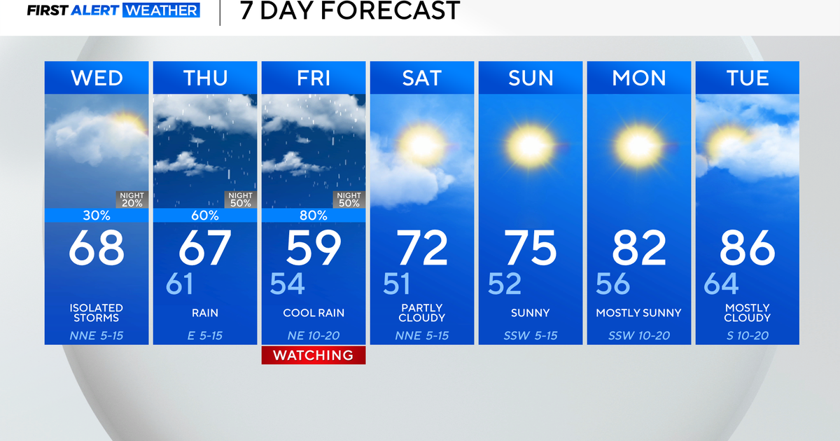
Our pattern is changing into a more active one. Expect daily rain chances starting Sunday night, right into the end of next week.
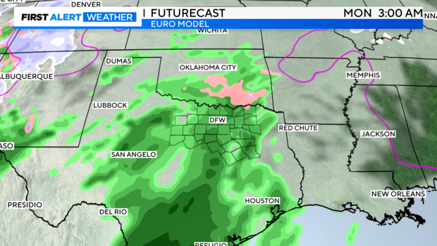
As temperatures hover near the freezing mark early Monday morning, a little freezing rain/sleet may occur along the Red River before it changes over to all rain.
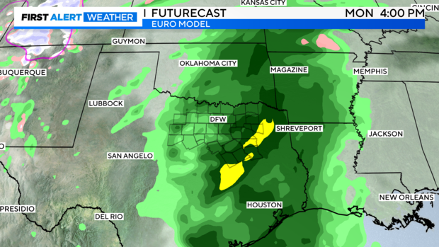
Keep the umbrellas and rain gear handy Monday and all next week, as multiple rounds of rain move through the area.
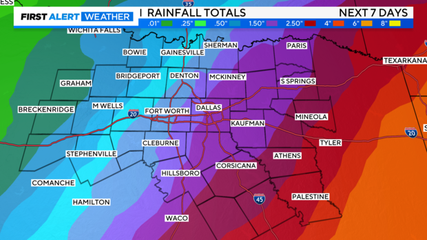
The highest rainfall totals 2"+ are expected in our eastern counties. We will have 1" – 2" possible across DFW over the next week.
We are back to seasonal temperatures in the 50s next week after our cold weekend.
