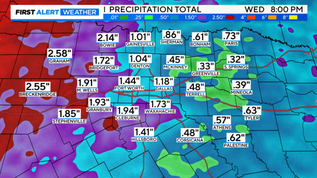
Hit and miss showers and thunderstorms expected for North Texas
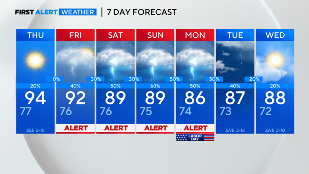
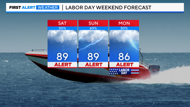
NORTH TEXAS — We maintain a weather alert through Labor Day weekend for scattered showers and thunderstorms.
Widespread severe weather is not expected; however, a few thunderstorms could be on the stronger side, with brief heavy rain, CG lightning, and gusty winds to ~40-50mph.
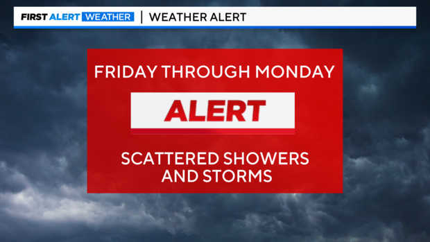
Although it's not a complete washout, numerous showers and thunderstorms will be possible each afternoon.
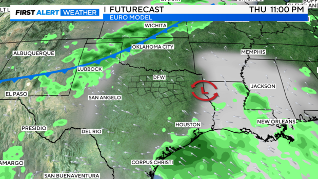
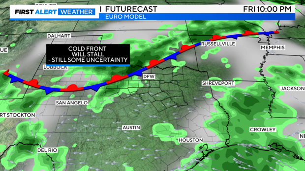
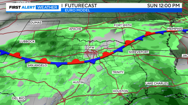
The cold front is going to stall somewhere in the North Texas/Southwest Oklahoma region, according to some major models. When this happens, it'll provide an additional focus point for showers and thunderstorms.
At this moment, there's still some uncertainty as to where exactly the front will stall, but likely somewhere just to our northwest. Plenty of humidity and warm afternoons will be present in North and Central Texas over the weekend ahead of this stalled front, likely fueling numerous chances for thunderstorms. Some spots could certainly see lots of activity.
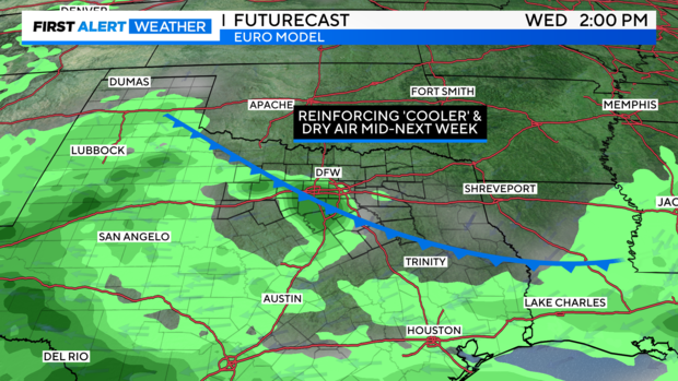
There's still plenty of disagreement in the model guidance for next week, but perhaps a shot of cooler and drier air pushes in sometime mid-week from both rain-cooled air and a weak frontal boundary. This might bring a break from the precipitation chances as some high pressure will try to regain strength and push activity more to our south.
All in all, a hopeful trend for rain and cooler temps continues to show up. Some spots could see locally heavier amounts, depending on storm movement and where the strongest cells emerge.