Heat Advisory continued through Sunday evening, likely more ahead next week in North Texas
NORTH TEXAS – A Heat Advisory is in effect for the Metroplex through 7 p.m. Sunday. This is a step below the excessive heat warning that we just had.
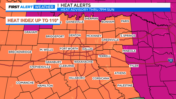
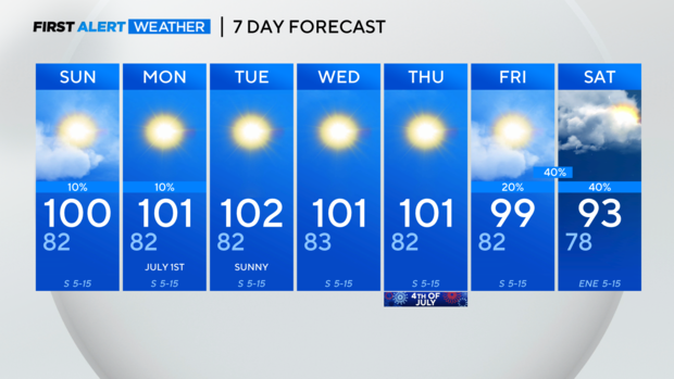
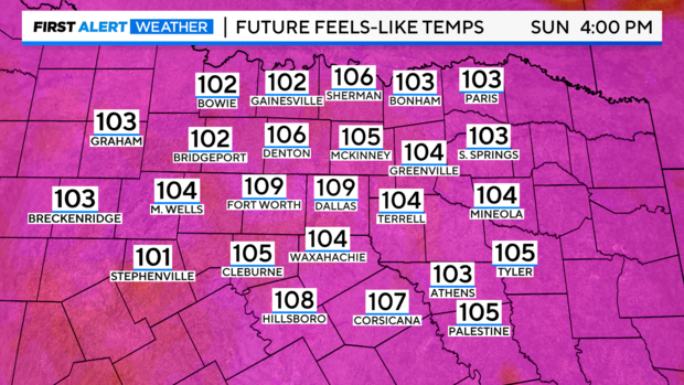
Future heat indices for Sunday are, well, still yucky. Be careful out there!
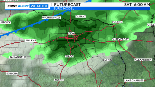
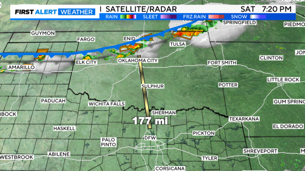
Right now, a weak frontal boundary is dipping slowly south across Oklahoma, and at this hour, it's producing severe thunderstorms near the OKC metro area. Unfortunately for us, we won't see much in the way of showers or thunderstorms, apart from a very slight chance of rain in our northern and mainly more northeastern counties.
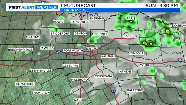
On Futurecast, the HRRR model tries to pop a few showers tomorrow afternoon, but again, the best shot will be the far northeastern parts of our area. It'll probably be along and north of 380 and east of 75.
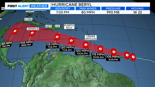
TROPICS: The first hurricane of the Atlantic season formed Saturday, Beryl. It is forecast to become the first major hurricane of the Atlantic season by Monday.
This track is important to watch in the upcoming week, as it could stray west into Mexico/Central America or meander and head into the Gulf after moving through the western Caribbean.
Finally, for some of the better news! There continues to be consistent indications that the upper-level high pressure over us will shrink and jog west by late next week, possibly opening the door for rain and a much-needed break from the extreme heat. Rain chances could be Friday through the weekend. Right now, most of the rain opportunities appear to be after July 4th, but we'll want to watch as we get closer.