Gusty winds and heavy rain expected in North Texas this coming week
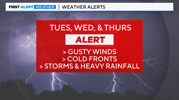
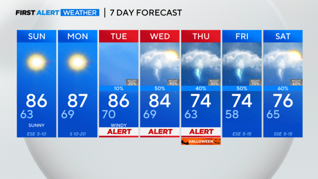
NORTH TEXAS – First alerts remain in place for next Tuesday through Thursday and may need to be expanded by the weather team later in the week.
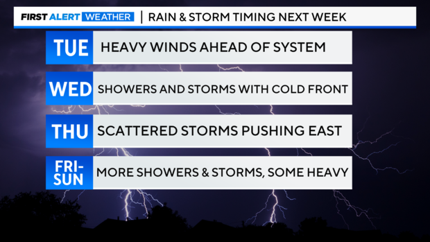
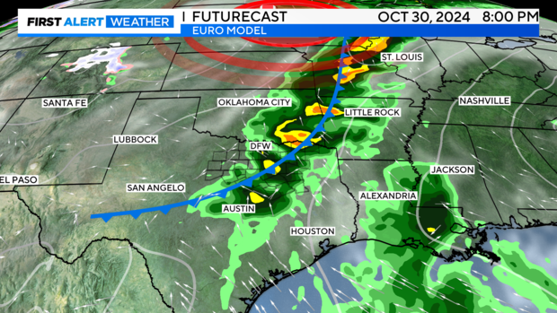
Strong winds, with gusts up to 40 mph, will transport more moisture back into the region on Tuesday. On Wednesday, a surface cold front is expected to move through the area, bringing showers and some thunderstorms. While instability is limited and these storms will be more elevated along the front, mitigating the overall severe threat, a few stronger storms with high winds cannot be ruled out.
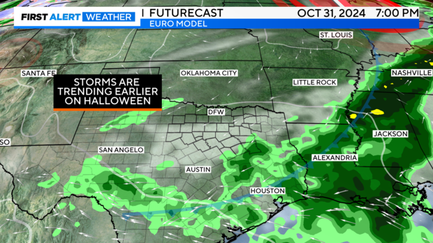
By Thursday, the activity appears to be pushing out before the evening, possibly clearing the way for trick-or-treating, though this is not definitive. There remains uncertainty regarding the weather late in the week into the weekend, but the trend suggests multiple days of rain and storm chances, with the possibility of heavy rainfall.
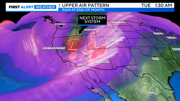
Here's the primary upper-level trough that will bring changes next week. Smaller impulses will follow, possibly bringing more rain chances to North Texas to round out the week.
The first wave of activity looks like it'll arrive on Wednesday. Timing is TBD, but trending later.
Still hopeful that the activity pushes east on Thursday and clears us out for the Halloween evening.
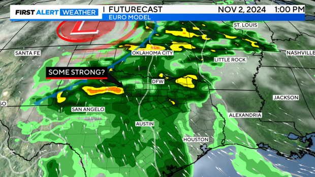
Finally, more activity is expected over the region late in the week into the weekend. The potential for heavy rainfall and localized flooding is present.
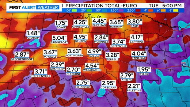
European model rainfall projections for the next 10 days are impressive. However, there's still some uncertainty this far out, so I won't be showing this long of a projection on-air yet.
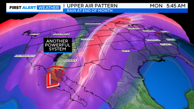
UPPER AIR: The week after next, a very large trough is expected to dig over Mexico and Baja California before moving over the central and southern plains. If this verifies, it could bring more unsettled weather and possibly significant weather for Texas. We'll want to watch the trend on this.
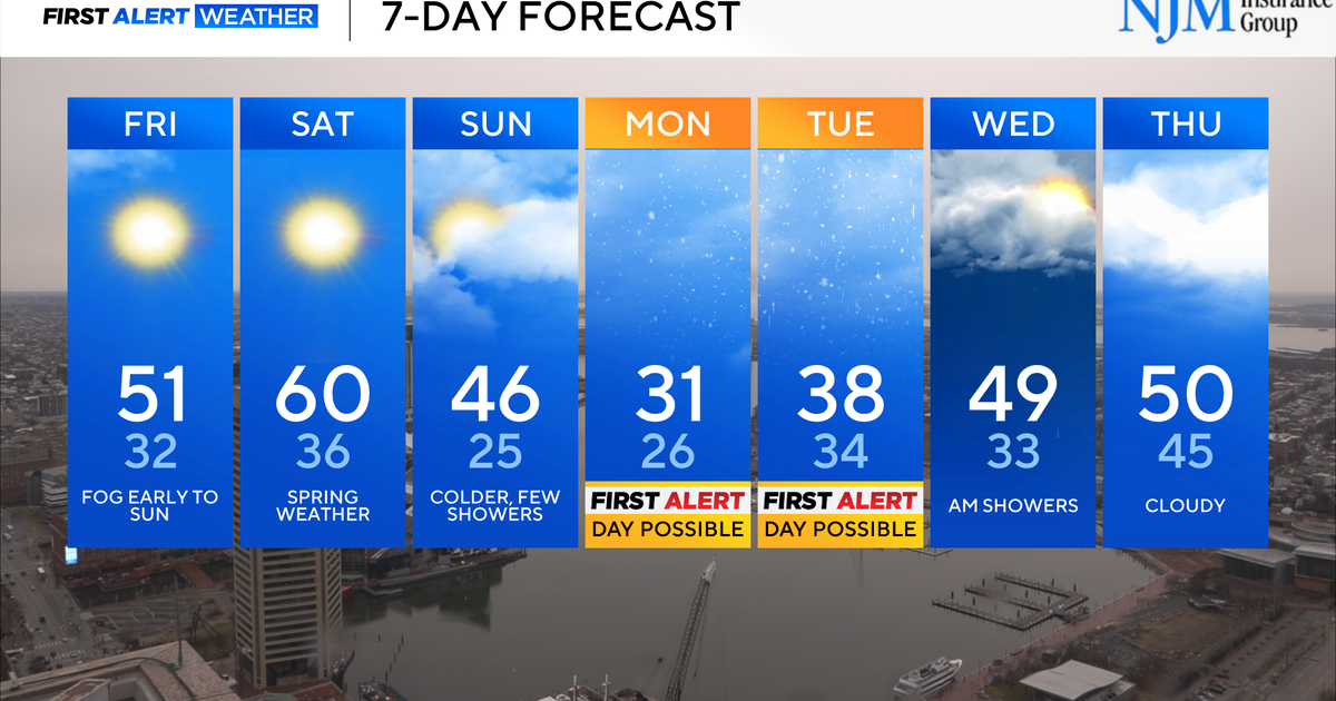
7-day forecast:
Have a nice evening!
