Francine brings chance of isolated storms to North Texas
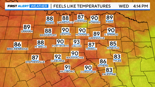
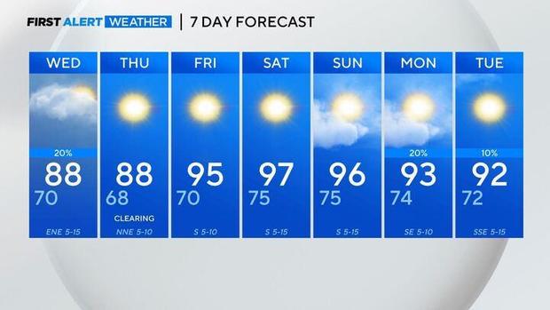
NORTH TEXAS — Remember the nice temperatures and the drier air? High temperatures are returning to North Texas.
In the Gulf
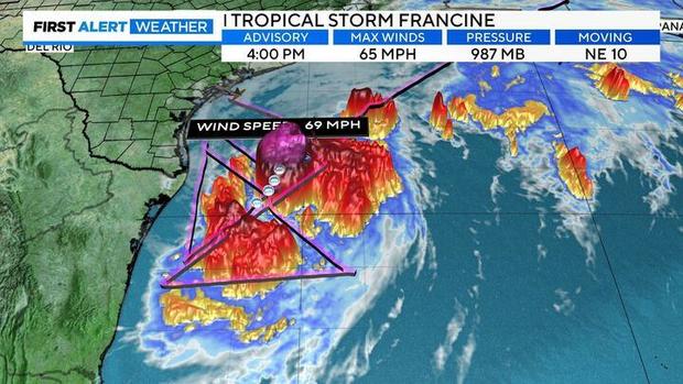
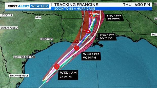
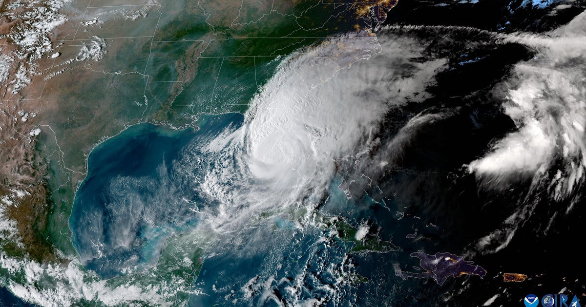
Francine has had some trouble lately. Dry air has been holding her back and she just wants to move on. Lucky for her, she's about to do just that. Francine strengthened into a Hurricane Tuesday evening.
First, Francine will likely start to intensify somewhat quickly this evening, after forming a closed warm core. She could strengthen to a Category 2 at the high end or a strong Category 1 at the lower end. Is there an outside chance for a Major (C3 or above)? Yes. Francine is about to run into heavier wind shear at upper levels from the west. Both the wind shear and faster-projected movement should act as mitigation from intensification. All good news.
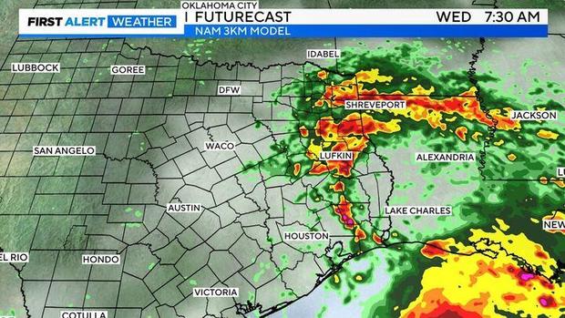
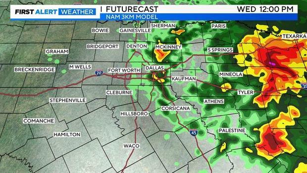
Futurecast depicts our impacts from Francine Wednesday. First, scattered clouds should push in from the east/southeast.
By mid-morning to midday, more isolated showers and storms could be around the DMA, but still favoring our eastern counties. Some showers/storms could contain heavy rainfall with that deeper tropical moisture.
