First Alert Weather Day tomorrow: Here's what you can expect
(CBSDFW.COM) — Welcome to 2023! It has been a warm and beautiful start to the New Year, but things are about to change tomorrow.
We have issued a First Alert Weather Day for Monday beginning at 11 a.m. due to the threat of severe storms.

Gulf moisture is being drawn north on breezy southerly winds and this will continue tomorrow as well, providing ample moisture for showers and storms Monday, especially east of I-35.
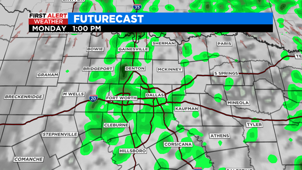
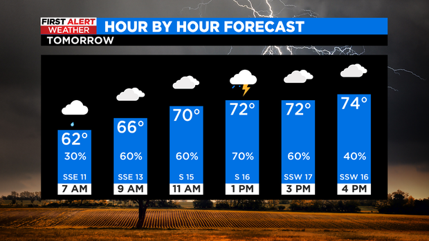
We begin our day with overcast skies, scattered showers and a few thunderstorms. Areas west of I-35 will mainly remain dry with cloudy skies.
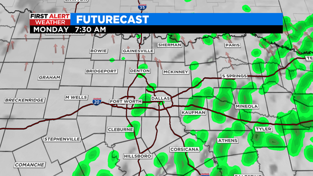
Coverage of rain and storms will likely increase around midday into the afternoon ahead of the cold front.
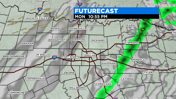
Mid afternoon into early evening is when the severe weather threat will be highest and for areas east of I-35.
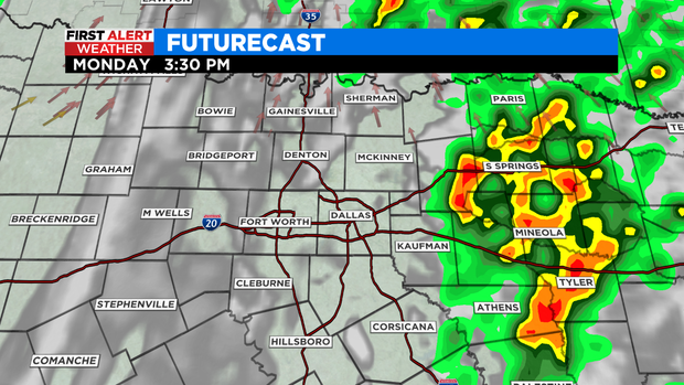
Some storms may initialize as far west as the I-35 corridor before heading east.
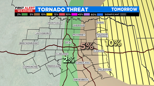
All modes of severe weather are possible with these afternoon/evening storms as they move eastward. A level 3 Enhanced Risk includes our eastern counties, while the severe threat diminishes to the west.
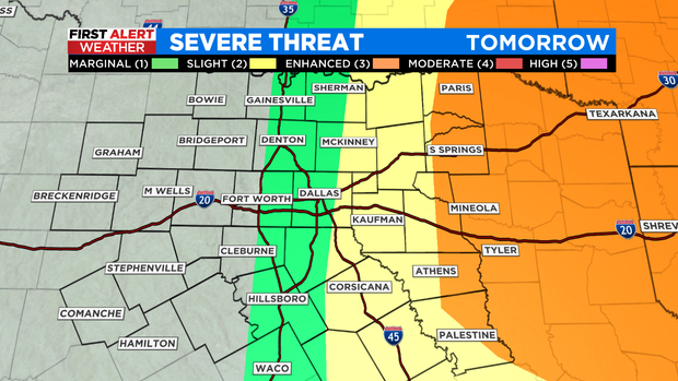
A few strong tornados are also possible in East Texas.
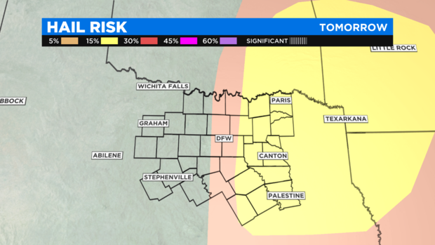
The greatest risk of large hail is also in East Texas as well as Arkansas and Louisiana.
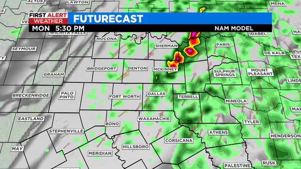
Another broken line of showers and storms may develop later in the evening along the cold front capable of damaging winds and hail.
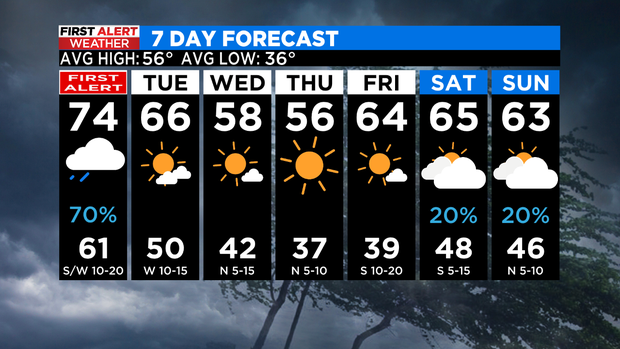
Monday will be another warm and breezy day with highs in the lower 70s.
Please remain weather aware tomorrow and have multiple ways to receive severe weather warnings.
Once the cold front passes through on Monday night, we enjoy a quiet week. Cooler air moves in behind the front and is reinforced by another cold front late Tuesday into Wednesday, this front moves through the area dry.
Temperatures already moderate heading into the weekend back to the 60s.
We are tracking another system for next weekend, bringing more rain chances.
Happy New Year!