First Alert Weather Day Ends At Noon, No Significant Problems Anticipated
NORTH TEXAS (CBSDFW.COM) - By 9 a.m. on Feb. 5, there will be no warnings and no anticipation of significant weather problems in the week ahead.
That said, the National Weather Service forecast for your Saturday has held up rather well during the last couple days with lows this morning around the Metroplex bottoming out around 16-18 degrees (the coldest morning up to now this season was 19° on Jan. 2nd) with wind chills around 10° or just below.
Most of the roads cleared Friday during the sunny afternoon and temperatures in the mid 30s. But there are still dangerous patches of ice here and there so don't be overconfident when driving around.
The "Hard Freeze Warning" expires at 9 a.m. The Metroplex didn't reach the warning criteria of ten degrees or lower.
Some areas of fog are possible Saturday morning, which could cause almost instant road problems. Fog when temperatures are in the teens and low 20s produces a very thin coat of ice on surfaces including roads.
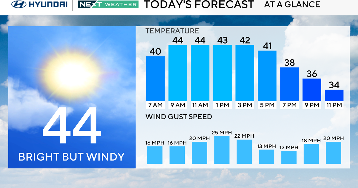
North Texas should get above freezing by noon Saturday and spend about six hours above freezing for the day. On Friday, Dallas/Fort Worth International reported about 5 hours of above-freezing temperatures. But we all witnessed the dramatic improvement to roads and bridges across the afternoon. The last of the ice should leave Saturday as highs reach into the low 40s.
Lows Saturday night dip down to the mid-20s. Sunday we should enjoy about 12 hours of above freezing temperatures with highs around 50.
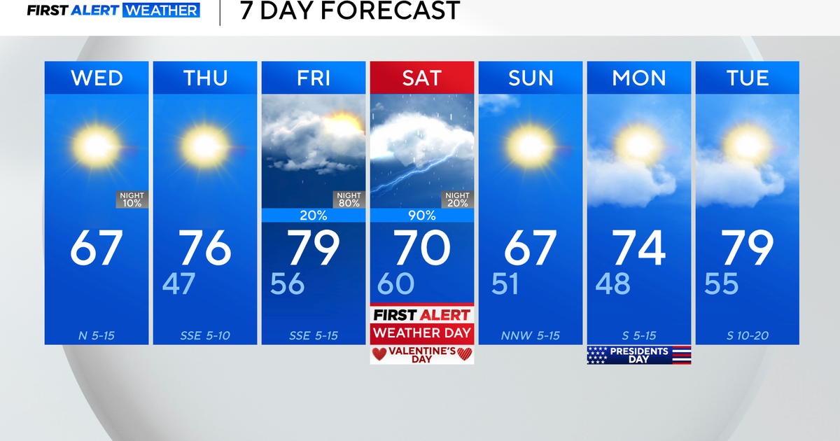
There is a warming trend and dry weather in the week ahead. Looking into the next 14 days, no forecast model is picking up on any winter weather for North Texas. The next significant looking rain is showing up on the 17th or 18th but temperatures look above freezing for the event (as it looks right now: long range forecasting is more about trends than timing and precip type details).
