Fire warnings remain in place as breezy, warm weather persists in North Texas

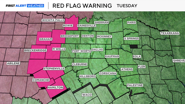
A warm and breezy start to the week comes with heightened fire concerns, as a red flag warning remained in effect Monday for areas west of I-35 and returns Tuesday for locations west of Highway 281.
North Texas residents can expect sustained southerly winds of 20-25 mph, with gusts reaching up to 45 mph.
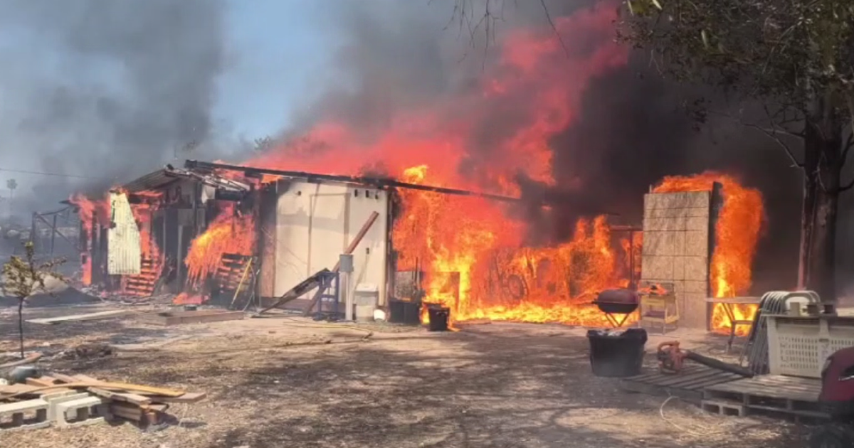
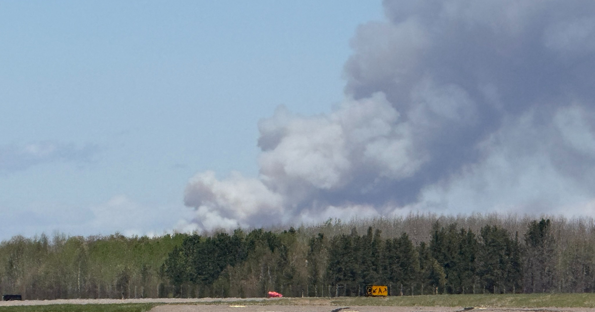
With warm temperatures in the mid-80s and dry conditions, any fire that sparks could spread rapidly. Outdoor burning is strongly discouraged, along with any activities that could generate a spark.
Why is it so windy in North Texas right now?
These gusty winds are the result of a low-pressure system moving into the Central Plains, tightening the pressure gradient. That system will push a dry cold front through North Texas by Wednesday, bringing a cooldown to more seasonable upper 60s for midweek.
Even with the temperature drop, breezy conditions will persist, keeping fire risks elevated through much of the week.
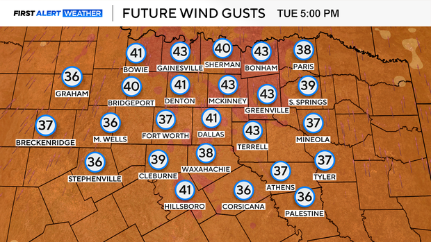
Gusty winds are expected Tuesday and Wednesday, continuing on-and-off through the extended forecast.
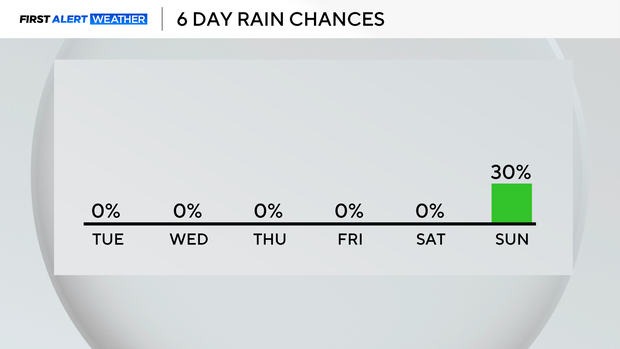
The DFW area could experience rain on Sunday
Looking ahead to the weekend, temperatures will climb once again, with a mostly dry pattern continuing. The only chance for rain comes late Sunday, with scattered showers possible east of I-35.
For now, fire danger remains the primary concern, so residents are urged to take precautions and stay weather-aware.