North Texas faces excessive heat warnings, limited rain chances
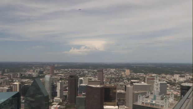
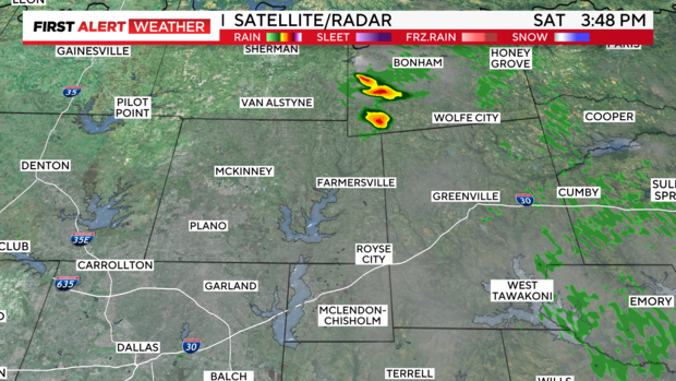
NORTH TEXAS — Check this out: A small cluster of thunderstorms northeast of Collin County this afternoon quickly fizzled out. You can see the cumulonimbus tower from our downtown camera. The tower reached about 40,000 feet before collapsing.
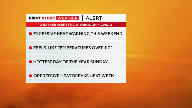
Excessive heat warnings continue through Monday in the Metroplex, with feels-like temperatures expected to reach 108-112 degrees. Sunday is anticipated to be the hottest day of the year so far.
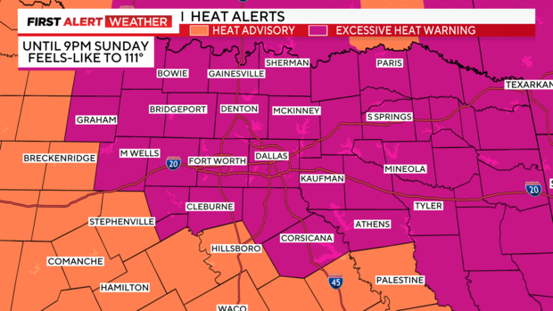
Excessive heat warnings cover most of the region, as shown in purple. These will continue through Sunday evening at 9 p.m. and may need to be extended, or at least Heat Advisories issued, to start next week.
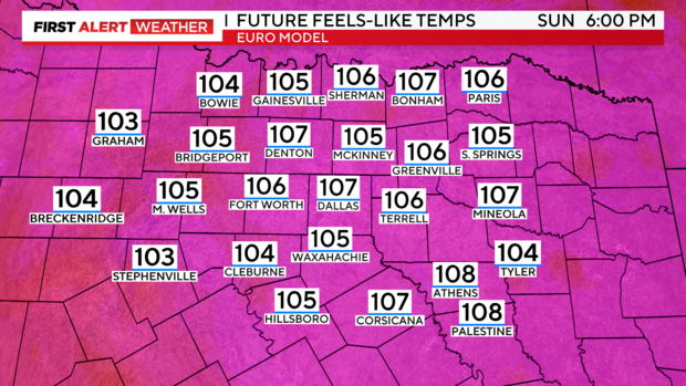
The Euro model shows heat indices slightly below the 108-112 degrees range for tomorrow afternoon, but it likely underestimates where we'll end up. Either way, it's still brutal.

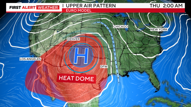
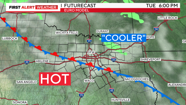
The upper-level ridge of high pressure dominates the southern plains this week, with the jet stream cascading over the top of this ridge. In the middle of the week, a weak dip in the jet stream to our east could send cooler air closer to North Texas from the northeast. Along with this, there is a stray rain chance for East Texas and the Ark-La-Tex, but minimal activity for us, if any at all. The ridge then expands through next weekend.
At the surface, the "cooler" air arriving from the northeast will 'help' at best. We'll see a slight drop in temperatures and heat indices, yielding some upper 90s and dropping us out of heat advisory or warning criteria for the short term.
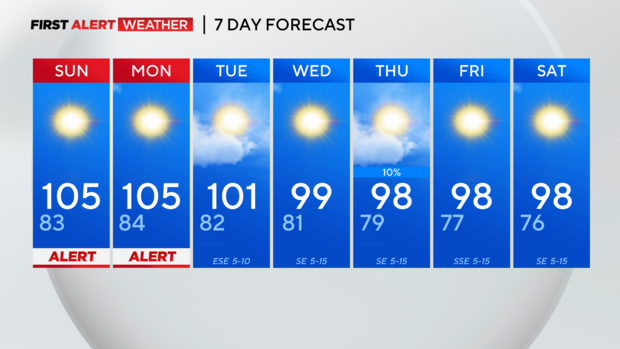
Seven-day forecast: Slight improvement with that "cooler" surface air, but still hot.