Dense fog expected overnight, warmer through Monday, cooler start to 2025 in North Texas
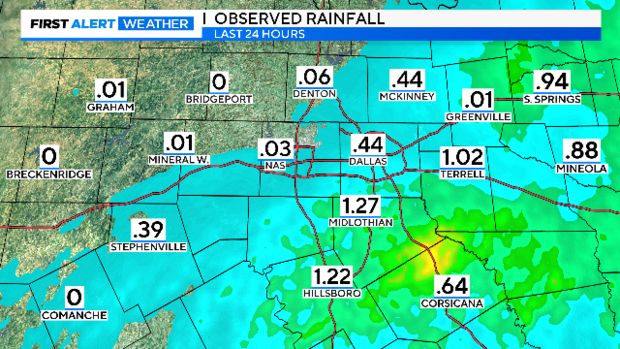
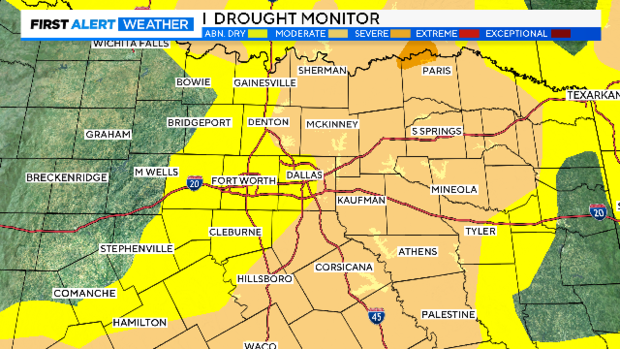
NORTH TEXAS — Happy last official weekend of 2024! It was an active morning with storms prompting severe and flash flood warnings. A decent amount of rainfall fell across North Texas, with some cities receiving over an inch of accumulation. This will definitely help with the ongoing drought, and improvements will be shown in the drought monitor update on Thursday.
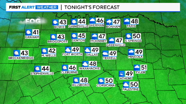
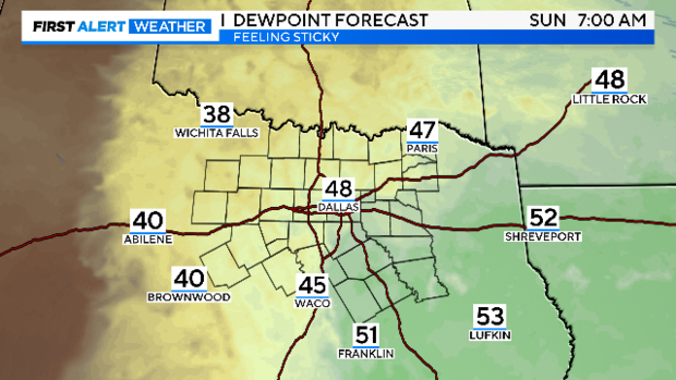
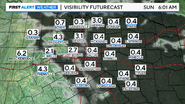
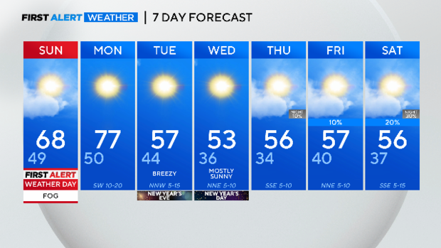
Though severe storms moved across the area today, conditions are expected to clear into the evening. Cloud cover and a moist air mass will linger across the region. Since winds will be light, temperatures will cool to the upper 40s Sunday morning, and the dew point temperature will be around the same degree, meaning the relative humidity will be near 100 percent. Therefore, dense fog will form.
The forecast model shows dense fog and significantly reduced visibility across the region overnight through Sunday morning. Please take precautions by using low-beam headlights and leaving plenty of space between vehicles.
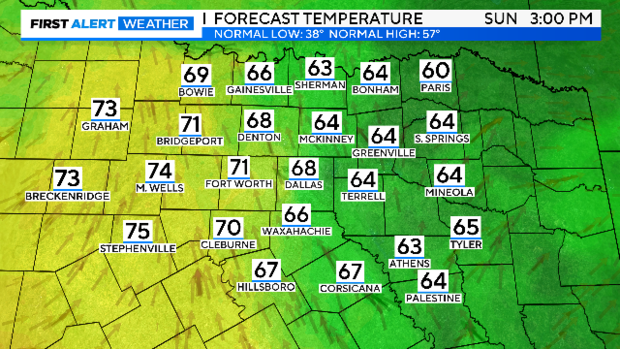
The fog will lift by the afternoon thanks to climbing temperatures and the sun peeking through the clouds. Highs Sunday will warm into the upper 60s, but the western counties could see highs in the 70s.
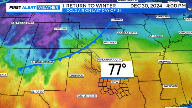
Temperatures will climb significantly on Monday. Ahead of the next front, compressional heating will occur due to downslope winds from the west, bringing in warm and dry air. Monday will be the last warmer-than-average day of the year, with highs in the upper 70s, nearly 20 degrees above normal.
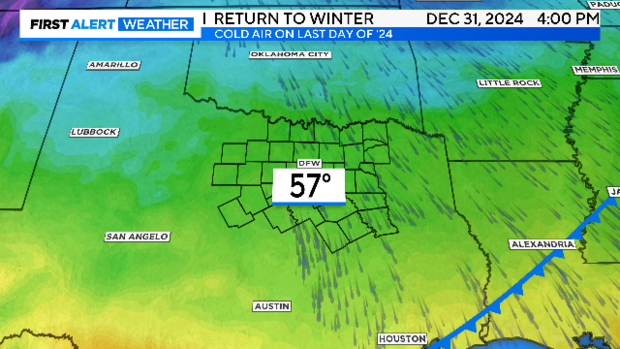
However, Mother Nature has decided to end 2024 with temperatures near normal in the 50s due to a dry cold frontal passage.
New Year's Eve looks to be on the chilly and dry side, and that will be the case for New Year's Day and the rest of the week. Stay tuned!
