Cooler, drier air arrives Monday in North Texas; Milton intensifies in the Gulf
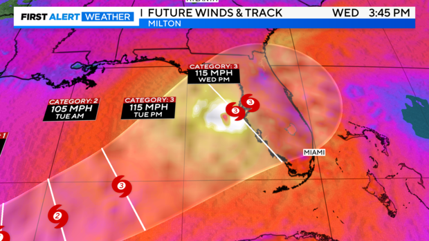
NORTH TEXAS – As of the 7:48 p.m. EDT update from the National Hurricane Center, Hurricane Milton is still forecast to make landfall near Tampa as a major hurricane sometime Wednesday afternoon or evening.
Until a more defined center of circulation forms, there will still be uncertainty regarding the track and intensity ceiling. Currently, the cone of uncertainty spans most of western Florida, up to the precipice of the Apalachicola National Forest.
Given the amount of time Milton is expected to spend over the open, warm Gulf waters, it is not a stretch to anticipate that it might reach Category 4 strength or higher before landfall. The track should become more defined by tomorrow evening.
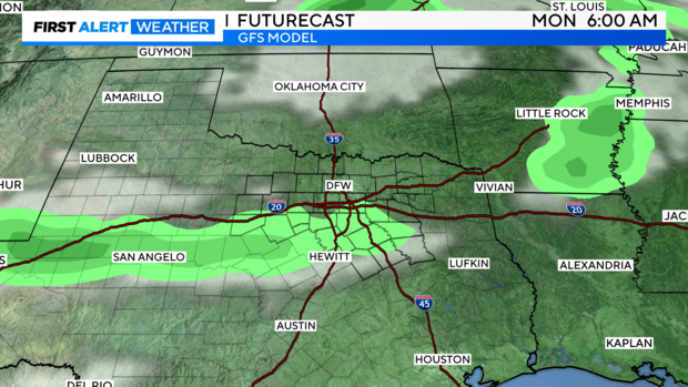
For us: Near Colorado-like dryness pushes in on Monday! This will feel like a pleasant shock compared to what we've been used to.
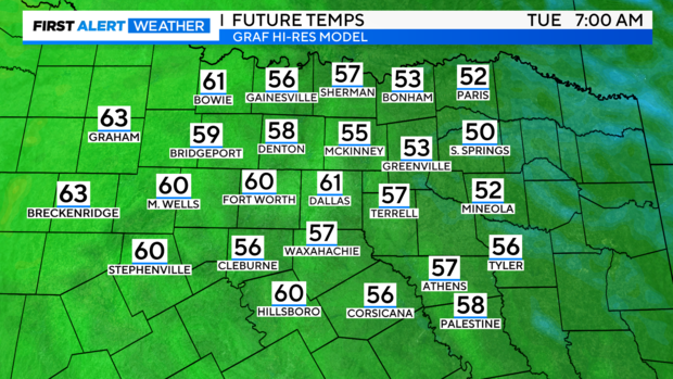
Future temps on Tuesday morning. Make a plan to do something outside early! 😉
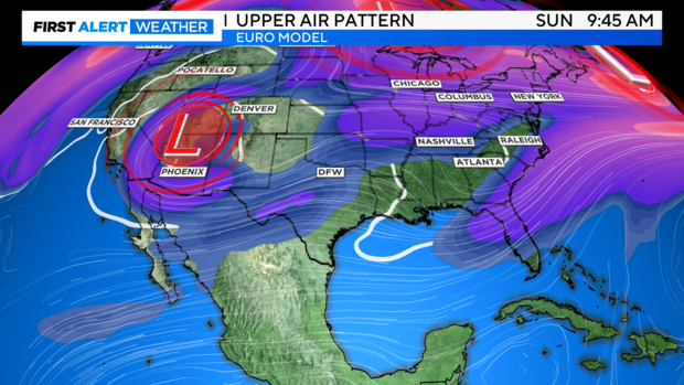
Looking ahead, our upper-air pattern is showing a slight change. One of the major models is also trying to produce some precipitation, but it's still too early to draw conclusions. However, slight disturbances in the jet stream may start diving farther south in the CONUS.
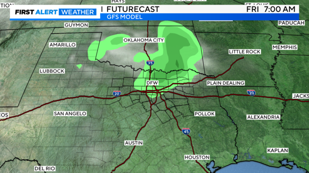
The American model is starting to trend towards showing some slight precip chances in the extended period. I'm not buying in just yet, but this is a positive change. We just hope that nothing occurs during the Red River weekend at the State Fair!
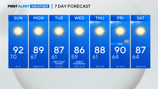
7-day forecast. LOOK at the start to Wednesday morning! Also, I did cave and put a very slight rain chance on Friday of next week. 🙂
Have a great finish to your weekend!
