Clouds cover North Texas, but it's still hot
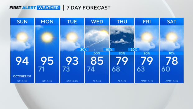
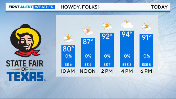
NORTH TEXAS (CBSNewsTexas.com) - Our September wrapped up as the second-hottest on record and unfortunately, we are not done with the 90s just yet. A ridge of high pressure remains in control of our weather through Tuesday, keeping us dry and about 10 degrees above normal in the mid 90s.
Our pattern changes midweek as the high moves south and a trough develops over the area. This will allow a couple disturbances and a strong cold front to slide through North Texas, bringing rain and cooler temperatures. A few showers and storms are possible through the day on Wednesday but coverage increases Wednesday evening into Thursday morning. Hail and gusty winds are possible with any of the stronger to severe storms.
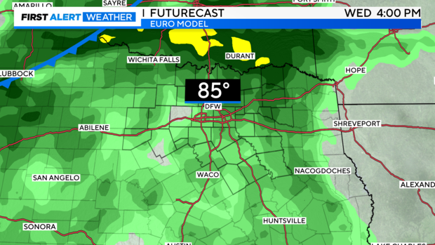
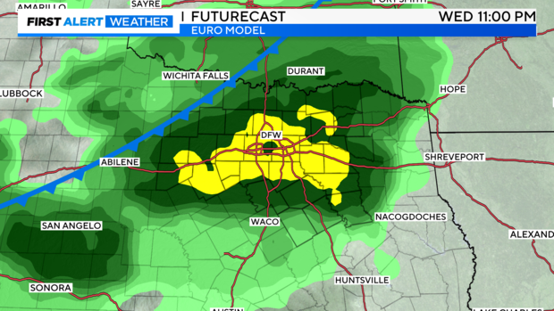
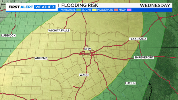
The system will bring widespread rain with 2"-3" rainfall totals and the potential for localized flooding. There is a slight risk of flooding throughout North Texas Wednesday into Thursday. Please do not try to drive through water covered roadways—turn around, don't drown.
The front ushers in cooler air and northerly winds, which means fall will finally arrive in DFW! Some afternoons will be in the 70s and mornings in the low 60s, and even some upper 50s are also possible.