Pleasant weather with gradual warm-up for North Texas before midweek front
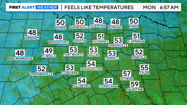
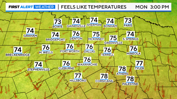
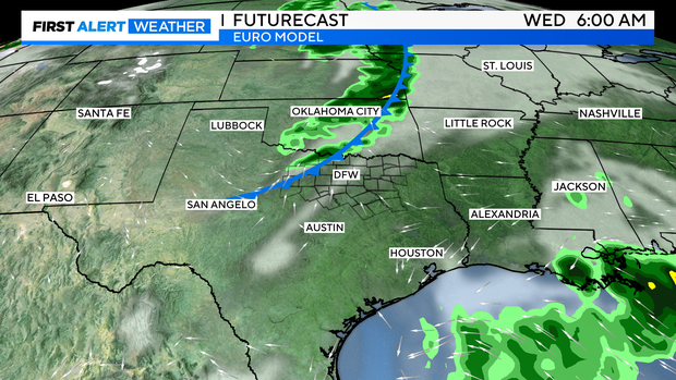
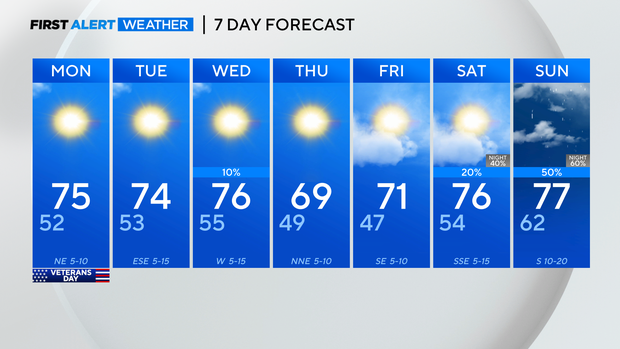
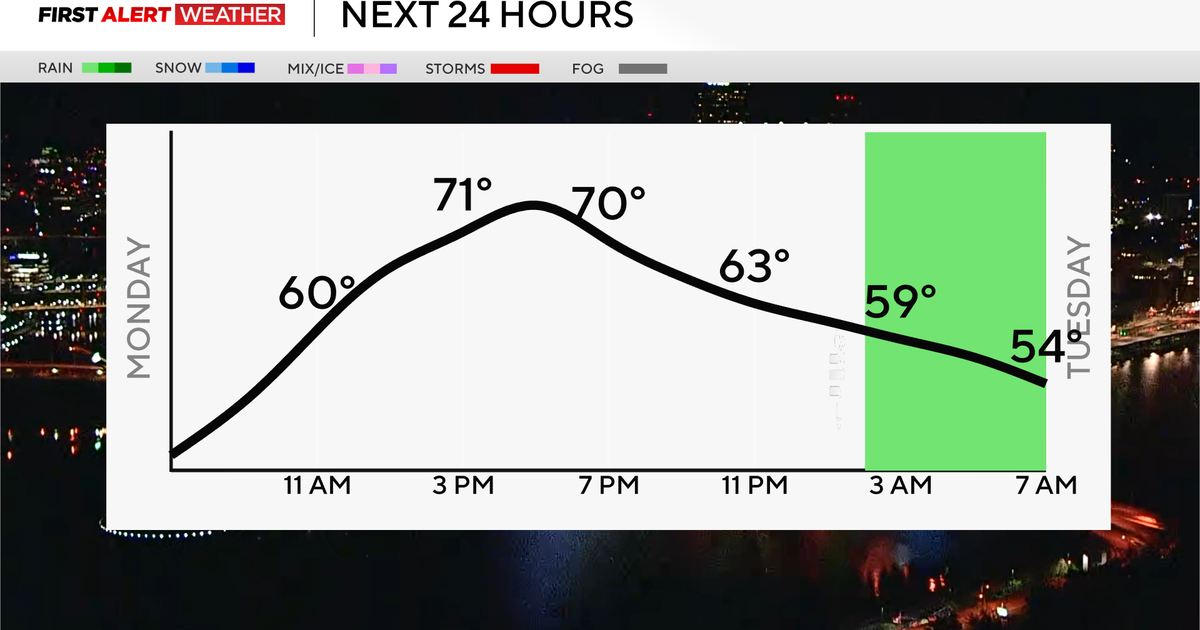
Pleasant weather continues along with a gradual warm-up through Wednesday when a dry front drops temperatures in North Texas back down.
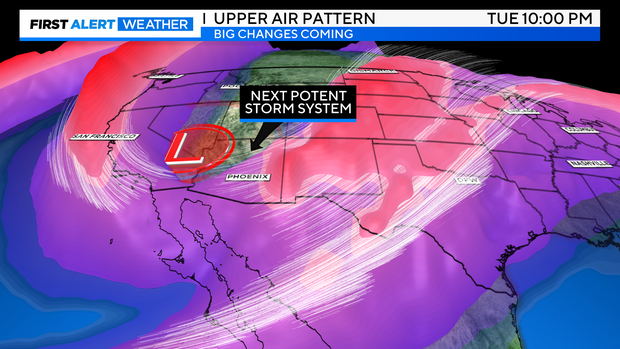
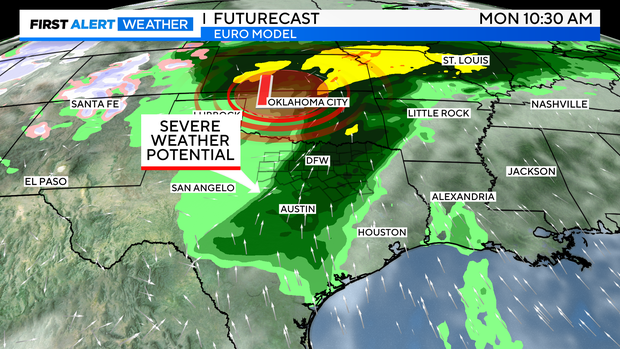
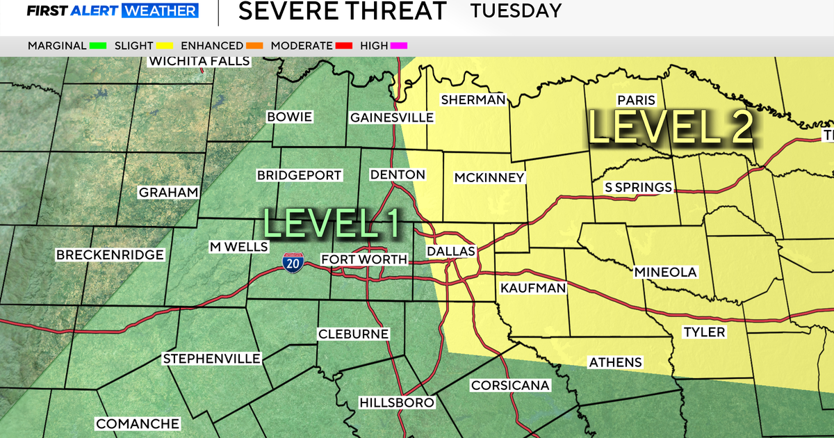
Our next storm system will arrive sometime late next weekend and into the following week. Although it's early, this setup does appear to be supportive of more organized convection and some severe weather.
By Monday afternoon, another nice day with perfect temperatures and sunshine.
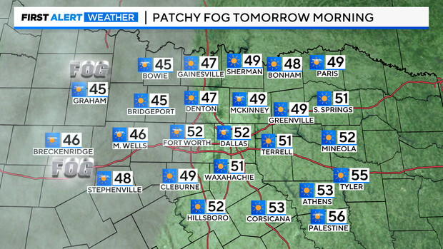
Some patchy fog is possible Monday before 10 a.m., mainly along and west of the 35 corridor.
The next potent storm system is a ways off and doesn't look to arrive until at least next Sunday into the following week. Due to the dynamics and power of the troughing, severe weather appears to be in play, at this point.
The European model continues this trend of swinging through a weak front midweek, perhaps with a few stray showers favoring our northern periphery.
By next Sunday into early the following week, that large storm system charges through the southern plains, possibly bringing severe thunderstorms and flash flooding. Many more details will come into view as we get closer.
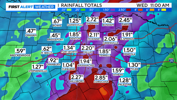
Overall rainfall projections through the next 10 days.
7-day: Weak front midweek, followed by that larger pattern change to finish next weekend.
