Below average temperatures stick around North Texas, rain chances to increase
NORTH TEXAS – For some North Texans, rain in the form of scattered showers and storms Monday is a welcome relief from the typical dry days of July.
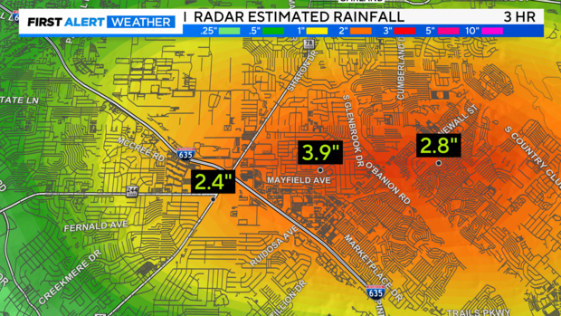
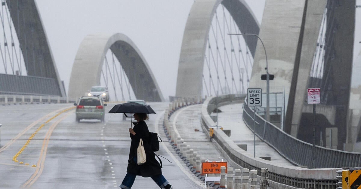
But in parts of Dallas-Fort Worth, the rain caused misery, especially along I-635 and Garland Road Monday morning. Between 1.5 and 4 inches of rain fell in three hours, causing flash flooding.
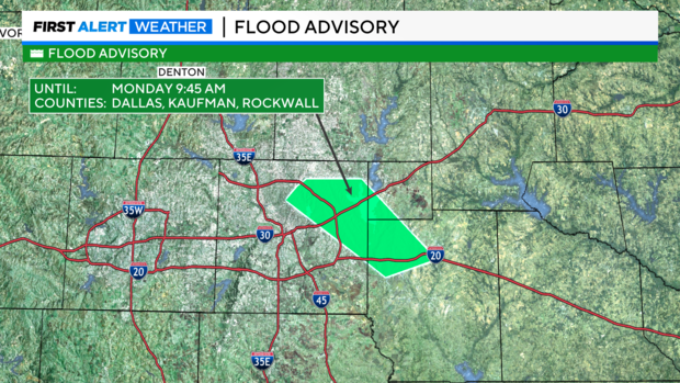
With the ongoing flooding and heavy rain, the National Weather Service issued a flood advisory for portions of Dallas, Rockwall and Kaufman counties until 9:45 a.m. Monday.
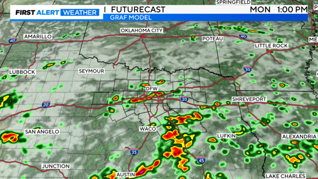
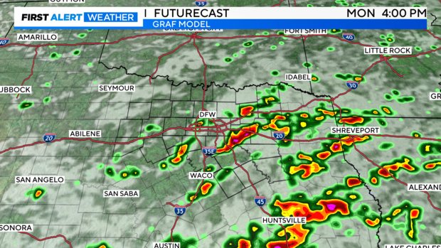
A stationary front is draped across the south sides of North Texas and will slowly weaken through the day. However, with it still in place there is a chance of scattered showers and storms through the morning hours and then again later Monday afternoon.
There isn't a severe threat with these storms but it is evident that the biggest threat is the potential for localized flooding and maybe a damaging wind gust.
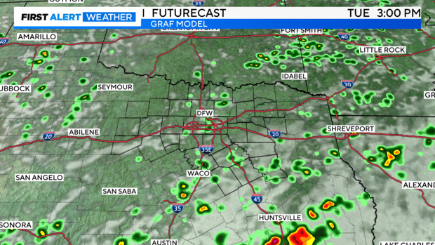
Most of the activity will dissipate after the sun sets Monday night but there is another chance of some scattered showers Tuesday with leftover energy from Monday's storms providing the lift for these showers to develop.
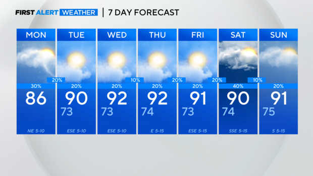
This week looks to be a cooler than average week ahead with more cloud cover forecasted and a series of upper-level shortwaves to enhance any rain potential. Later this week and into the weekend that chance increases to 40%, which is a sharp contrast to the lower rain chances each day this week.
Enjoy the cooler-than-average temperatures this week because North Texas heats back to near 100 degrees by the end of the month.

