August Outlook & A Peek At Winter
The Climate Prediction Center has released its monthly update as to what the next month may bring us, weather-wise. The August temperature outlook indicates most of the country will experience temperatures above normal.
This is not good news for the Midwest and Central Plains specifically, where it has already been a brutally hot July. North Texas is included in the 33 to 40% chance of above normal temps for August. This will generally mean that we'll have more days than not of above normal temps, including several 100° days.
Precipitation is predicted to be below average in the drought-stricken Midwest. With equal chances of below or above normal rainfall in Texas.
Below is the temperature outlook for August-September-October. Still looking warm for the Midwest & Southern Plains.
And the precipitation outlook for August-October. The above-normal areas of precipitation in the Desert Southwest and part of the Southeast are the first indications of the expected transition to El Niño. There are usually more rain events across the South during El Niño events.
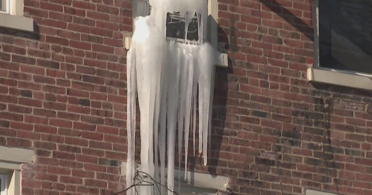
Now that glance ahead to the Winter months of December-January-February. The onset of El Niño and a cold phase of the PDO, Pacific Decadal Oscillation, could bring frequently chilly temperatures to the southern U.S., including Texas.
And this is forecast to be coincident with above normal precipitation...as the storm track will be more active over the south. This could mean more snow/ice events for North Texas. Stay tuned!!


