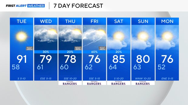
Above-average temperatures for North Texas this week

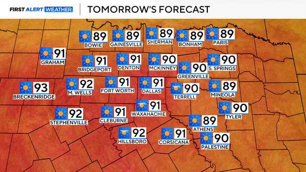
Tuesday looks to be the hottest day of the week, and North Texas' first 90°+ day of the year since October 23. Highs range near and above 90 for much of North Texas, with plenty of sunshine, and light winds.
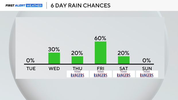
We look to remain mainly dry on Tuesday, even with the approach of a cold front that moves in overnight and into Wednesday.
This will bring the threat of isolated storm activity early Wednesday morning, mainly for our northeastern areas, not everyone sees this, and most of North Texas still looks to remain dry during this time period.
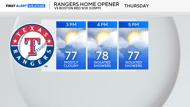
Rain and storm chances look fairly isolated once again Thursday, with a few showers mainly to our south during the day. For Texas Rangers' opening day, mainly dry, with highs in the upper 70s.
The bulk of the shower/storm activity looks to arrive Thursday night and into Friday.
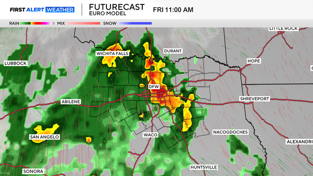
Rain and storm chances are highest on Friday as a disturbance works through the area. Scattered showers then linger into Friday afternoon, with spotty, lighter shower activity into at least the first half of Saturday.
Temperature-wise, lows will be warm all week, with highs sticking above normal.