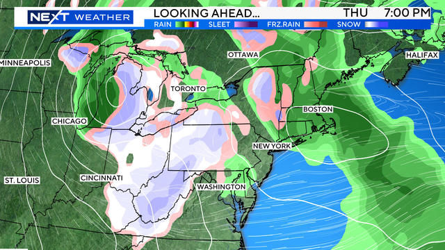
Storm system could finally put a dent in the drought
There's a legitimate storm system in the forecast this week for Massachusetts.
Watch CBS News
Terry Eliasen is a meteorologist and executive producer of the WBZ-TV Weather Team. He has worked at WBZ for more than 20 years. Terry is a graduate of the meteorology program at UMass Lowell.

There's a legitimate storm system in the forecast this week for Massachusetts.
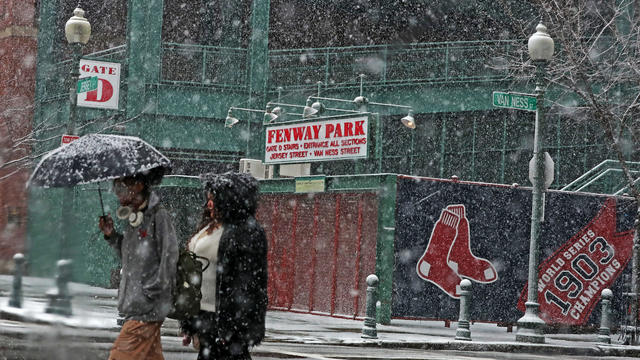
The date that Boston typically sees its first snow of the season has been trending later in recent years.
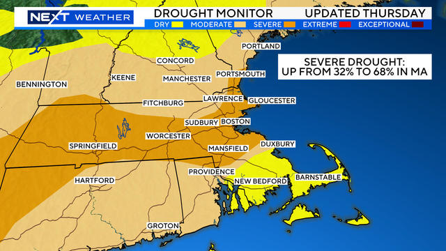
The size and severity of the drought in Massachusetts is growing. Often a major storm is needed to reset the jetstream.
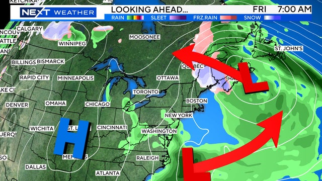
Here's the latest on the drought in Massachusetts, pinwheeling storms around the region this weekend and the Beaver supermoon.
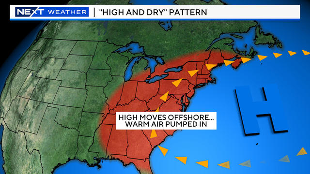
Here's what's behind the record warmth Massachusetts is seeing this November.
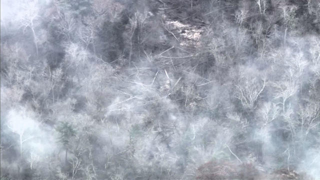
The warm and dry conditions are expected to continue around Boston, increasing the brush fire risk.
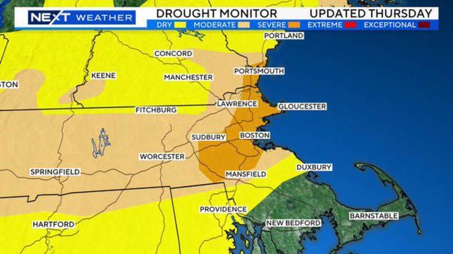
For the first time in more than two years, a rather sizable portion of Massachusetts is now considered to be in severe drought.
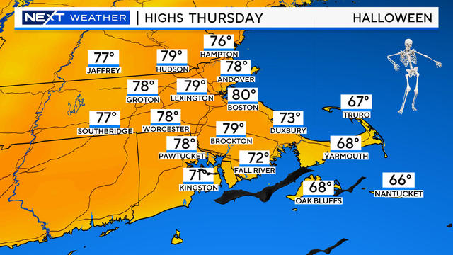
Halloween is one of the most important weather forecasts of the year. Here's what to expect around Boston.
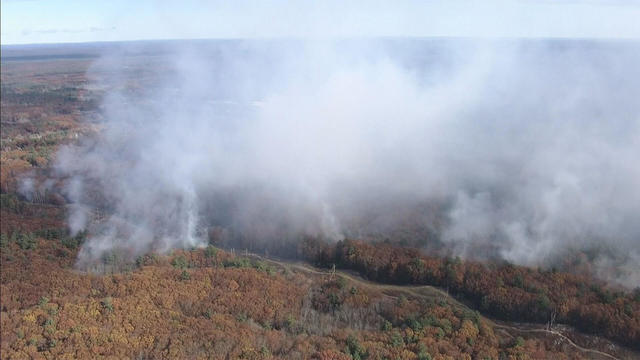
Why are we smelling fires in Salem all the way down in Boston? It has to do with a temperature "inversion" in the atmosphere.
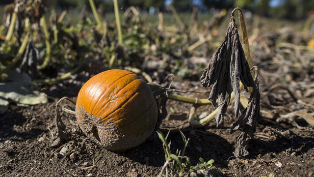
The drought in Massachusetts could be a sign that there might be significantly less snow coming this winter
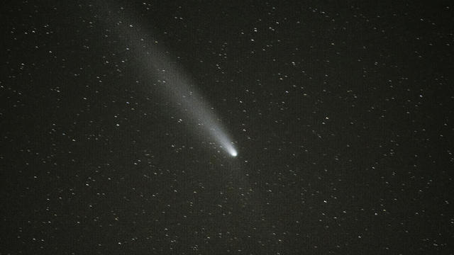
There's an actual chance of seeing another comet this month and the timing may line up perfectly with Halloween night.
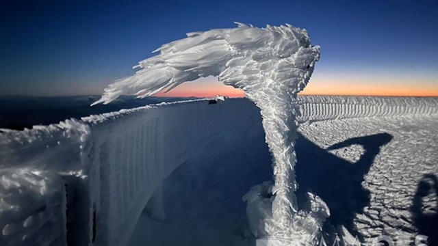
A researcher at the Mount Washington Observatory in New Hampshire took an incredible photo of something that looked like a frozen tornado. It's called "rime ice."
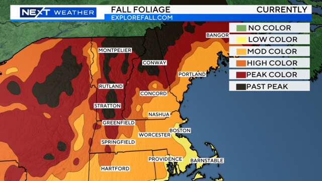
Here are a few places where you will find peak or near peak fall foliage color in Massachusetts and New Hampshire this weekend.
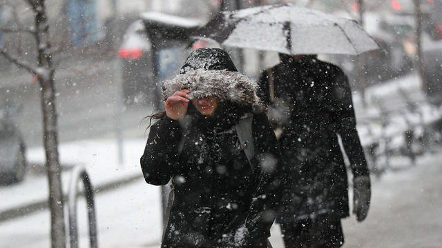
The National Weather Service released its winter outlook and the La Niña forecast on the coldest morning so far in Massachusetts.
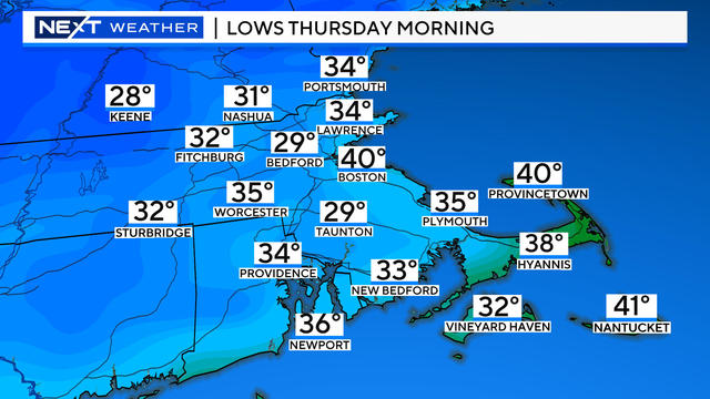
The weather forecast for the Boston area is taking a cold turn.