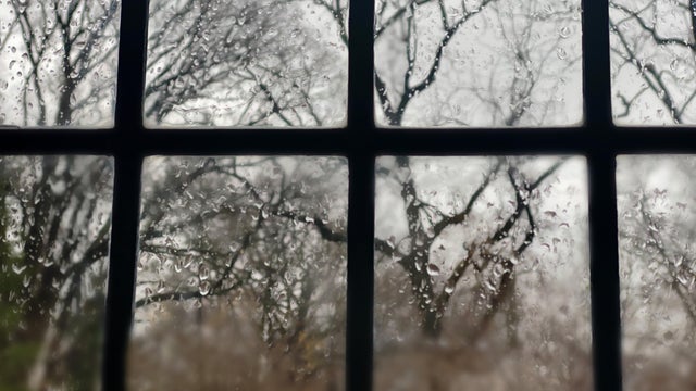
Snow, ice and rain wrap up Sunday evening
Roads and untreated surfaces could be slick, especially north of the Twin Cities, where the greatest accumulations will be about 1 to 3 inches of snow and .10 inches of freezing rain.
Watch CBS News

Lisa has been fascinated by the weather all her life. She grew up watching Midwest thunderstorms in her hometown in northwest Indiana. She obtained her Bachelor of Science degree in Meteorology with a minor in mathematics from Valparaiso University. She also obtained a Bachelor of Arts degree in Communications, and has the American Meteorological Society Certified Broadcast Meteorologist designation, as well as a NWA Seal of Approval from the National Weather Association.
While at Valparaiso, she was the founding Chief Meteorologist for their college TV station VUTV, President of the Northwest Indiana American Meteorological Society/National Weather Association, and active member of the Valparaiso University Storm Intercept Team (VUSIT). Part of her involvement with the storm chase team included a 10-day convective field study in which she chased storms across the plains traveling 5,626 miles through seven states seeing her first tornado!
Before making it back to the Midwest, Lisa previously worked for CBS affiliates in Sacramento, West Texas and Central Illinois.
She obtained a master's degree in strategic communications from the University of Minnesota with her capstone project focusing on communicating climate change.
She is a Nationally Certified Emergency Medical Technician and volunteer with Northstar Search & Rescue with her K9 named Thunder.

Roads and untreated surfaces could be slick, especially north of the Twin Cities, where the greatest accumulations will be about 1 to 3 inches of snow and .10 inches of freezing rain.

A warming trend begins Wednesday that will bring temperatures into the 60s by Thursday, and the 70s by Friday in parts of Minnesota.

Weather conditions will shift in the Twin Cities on Tuesday as a cold front moves in and the next storm system approaches.
Expect seasonable highs near 40 under a mostly sunny sky.
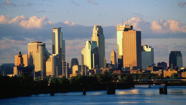
Monday is bringing both record-breaking heat and an elevated fire risk to Minnesota and western Wisconsin.

Another beautiful day is on the way Sunday, with plenty of sunshine helping to melt more snow.
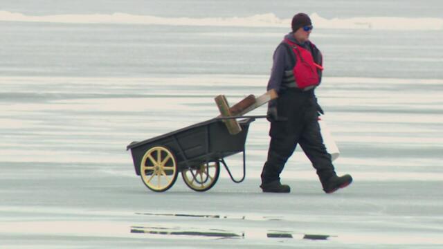
Minnesotans have enjoyed winter on the ice, but there are now signs of changing seasons across the Twin Cities metro.
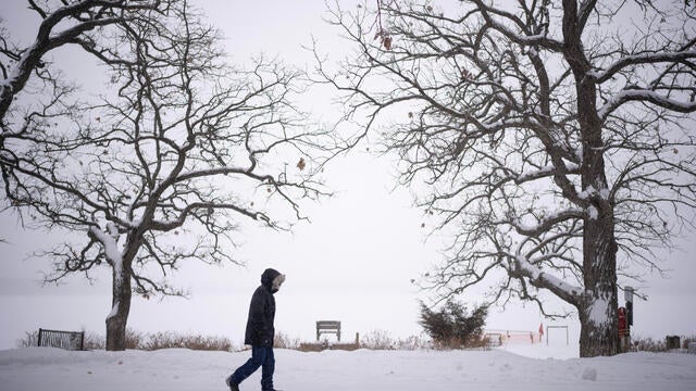
A NEXT Weather Alert has been issued as parts of Minnesota, including the Twin Cities, gear up for a spring storm that could drop several inches of snow by midday Wednesday.
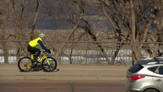
Monday will be warm, with temperatures well above average, before a messy spring storm moves through Minnesota in the middle of the week.
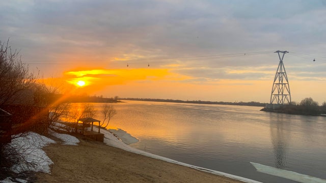
High pressure will keep the sunshine around Sunday, helping highs reach the 40s and the 50s on Monday.

Things will stay mild in the Twin Cities on Wednesday, with highs approaching 50 degrees.

Highs will be slightly cooler but still unseasonably warm on Tuesday in the Twin Cities, with light rain possible later on.

Despite more clouds on Sunday, temperatures will climb even more into the mid-40s and stay there all week.

This weekend will be the warmest since the start of the month.
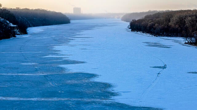
An extreme cold warning will be in effect from 9 p.m. Monday to 10 a.m. Tuesday. Temperatures will plummet to the double digits below zero and wind chills will be even worse.