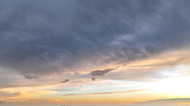
Stray showers possible Sunday afternoon, drier week ahead
Minnesota's stormy stretch is just about done, making for a mostly dry Sunday for much of the state.
Watch CBS News

Lisa has been fascinated by the weather all her life. She grew up watching Midwest thunderstorms in her hometown in northwest Indiana. She obtained her Bachelor of Science degree in Meteorology with a minor in mathematics from Valparaiso University. She also obtained a Bachelor of Arts degree in Communications, and has the American Meteorological Society Certified Broadcast Meteorologist designation, as well as a NWA Seal of Approval from the National Weather Association.
While at Valparaiso, she was the founding Chief Meteorologist for their college TV station VUTV, President of the Northwest Indiana American Meteorological Society/National Weather Association, and active member of the Valparaiso University Storm Intercept Team (VUSIT). Part of her involvement with the storm chase team included a 10-day convective field study in which she chased storms across the plains traveling 5,626 miles through seven states seeing her first tornado!
Before making it back to the Midwest, Lisa previously worked for CBS affiliates in Sacramento, West Texas and Central Illinois.
She obtained a master's degree in strategic communications from the University of Minnesota with her capstone project focusing on communicating climate change.
She is a Nationally Certified Emergency Medical Technician and volunteer with Northstar Search & Rescue with her K9 named Thunder.

Minnesota's stormy stretch is just about done, making for a mostly dry Sunday for much of the state.
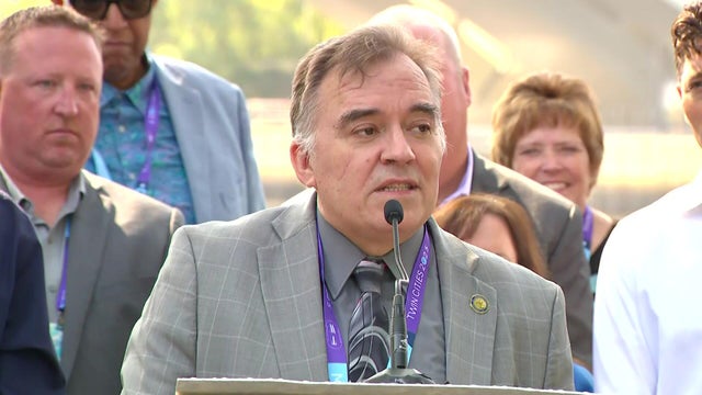
Mayors from cities all along the "Mighty Mississippi" met in Minneapolis on Wednesday for the latest Mississippi River Cities & Towns Initiative.
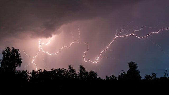
A few isolated storms will fire later Sunday evening across western Minnesota. Some storms could make it east toward the Twin Cities by dawn.
Thanks to a stalled storm system to our west and southerly winds, high temperatures will be in the mid-80s on Saturday afternoon across the Twin Cities, but it will feel closer to 90 due to humidity.
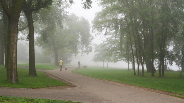
The Twin Cities will see more fog on Wednesday night and early Thursday, with the latter shaping up to be a #Top10WxDay.

Minnesota is eight days into meteorological fall, and it definitely felt like it over the weekend — though it doesn't look like it yet.
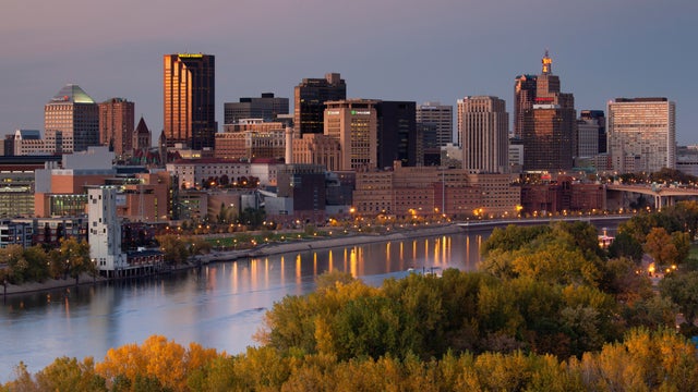
Warmer temperatures return to the Twin Cities on Monday, with storms possible later on.
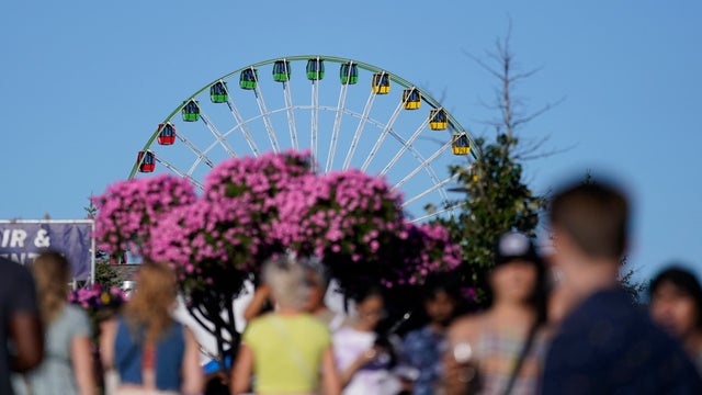
Labor Day will be mostly sunny and pleasant in Minnesota, but an impending cold front will give us a preview of fall by midweek.

Pockets of dense fog Sunday morning will give way to sunshine and seasonable temperatures in the afternoon, with highs close to 80.
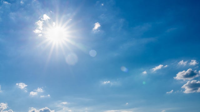
With high pressure just off to the east, the Twin Cities should expect a fairly quiet Labor Day weekend.
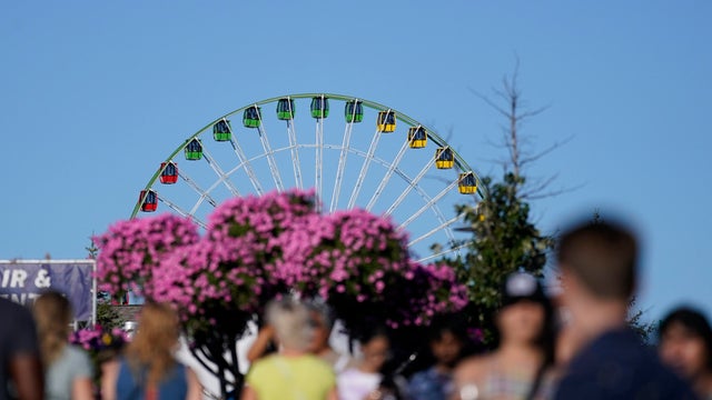
The cool air continues to settle in Sunday, with afternoon highs staying in the 60s.

Wednesday will be warm and slightly humid in the Twin Cities, but things will cool down for the first weekend of the Minnesota State Fair.
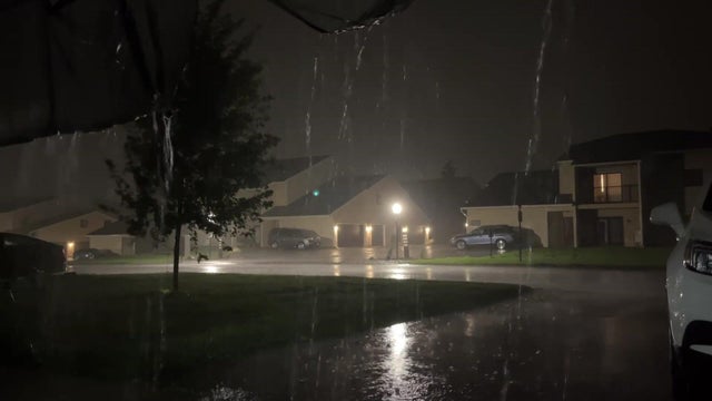
After some lingering rain moves out Monday morning, the Twin Cities will see partly sunny skies ahead of a cooler, drier week.
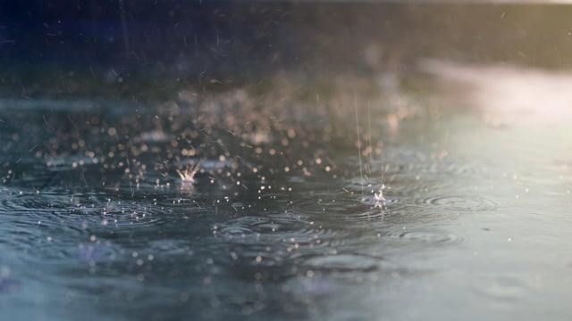
A NEXT Weather Alert is in effect Sunday evening as parts of the state are preparing for another onslaught after morning storms.
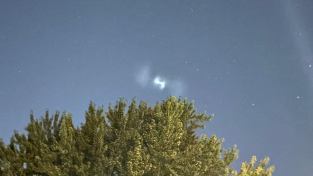
A video shows a strange light in the sky Tuesday night over Woodbury, Minnesota, causing some to wonder what it may have been.