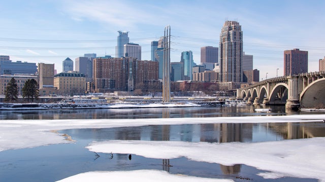
Another mild winter day in Minnesota before cooler air returns
Tuesday will be a mild January day, with highs near 40 in the Twin Cities.
Watch CBS News

Tuesday will be a mild January day, with highs near 40 in the Twin Cities.

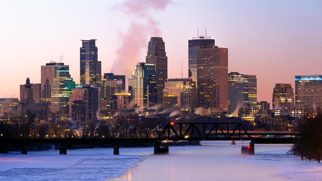
The Twin Cities will start the week with a couple of mild days before temperatures start falling again.

Any leftover snow wraps up early Friday in the Twin Cities, with a few slick spots possible for the morning commute.

The Twin Cities will have a foggy start, and wet finish, to Thursday.
A warmup is on the horizon following a cold Friday in Minnesota.

Minnesota will see a quiet but cold start to 2026.

New Year's Eve will start with light snow in the Twin Cities, with colder air to follow.
Minnesota will see a couple of rounds of light snow midweek before temperatures turn colder in time for the new year.
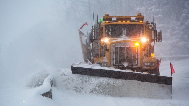
A major winter storm has arrived in Minnesota on Sunday and is expected to impact travel conditions into Monday.

Minnesota will turn a bit cooler on Tuesday, but conditions will stay calm.

Monday started with a light wintry mix and a few slick spots in the Twin Cities, but conditions will settle into a quiet and fairly mild afternoon.
Snow showers are expected to move through central Minnesota on Friday night as temperatures across the state rise.
Highs will climb close to 40 in the Twin Cities on Tuesday, but a cooldown is coming later in the week.
After a frigid weekend, Monday will bring warmer temperatures across Minnesota.
If temperatures remain below zero all day Saturday, it will be the coldest day in the metro since Feb. 17, the earliest zero-or-lower high since Dec. 12, 2000 and the 15th earliest zero-or-lower high on record.