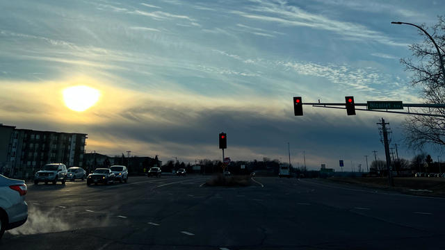
Quiet Thursday in Twin Cities before windy Friday, weekend cooldown
The Twin Cities will enjoy a quiet Thursday before strong winds arrive on Friday, and temperatures fall this weekend.
Watch CBS News

Joseph Dames joined the WCCO team during the winter of 2022. He is currently the weekday morning meteorologist. You can also catch him putting together weather, science, and other environmental stories during the week.
Born and raised in Illinois, just outside of Chicago, Joseph grew up in the small community of Plainfield. Plainfield is notorious for the 1990 F5 tornado, which started Joseph's interest in weather. Joseph stayed in the state of Illinois for his education and attended Eastern Illinois University with a concentration in broadcast meteorology.
Joseph spent seven years covering wildfires, ice storms, and atmospheric rivers in Portland, Oregon. As a fan of snow, he is excited to trade those in for winter forecasting.
You better believe he has a love for Chicago sports and, of course, that deep dish pizza. In his down time, Joseph spends his days and nights hitting the outdoors, enjoying live music, and trying all the different restaurants around the area.
Feel free to send in weather questions, photos, or weather and environmental story ideas to Joseph.

The Twin Cities will enjoy a quiet Thursday before strong winds arrive on Friday, and temperatures fall this weekend.
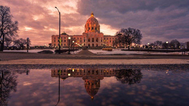
Things will stay mild in the Twin Cities on Wednesday, with highs approaching 50 degrees.
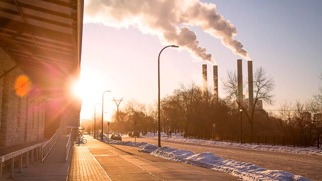
Highs will be slightly cooler but still unseasonably warm on Tuesday in the Twin Cities, with light rain possible later on.
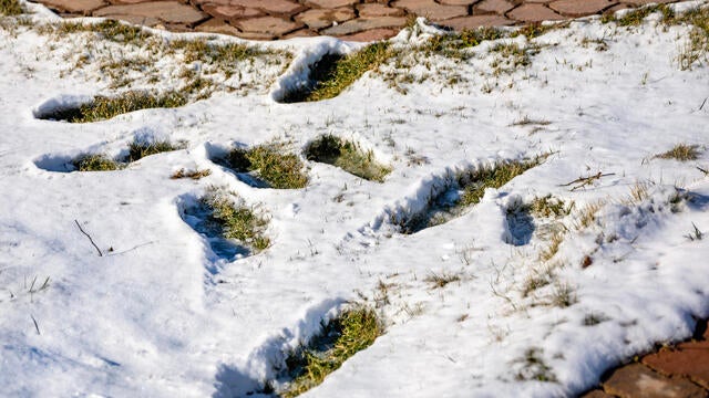
Expect wind gusts up to 30 mph, a cloudy afternoon and a drop of rain here or there, mainly in southwestern Minnesota.
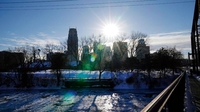
Warming begins on Friday in the Twin Cities with highs in the 20s, rising to the 30s Saturday and widespread 40s by early next week.
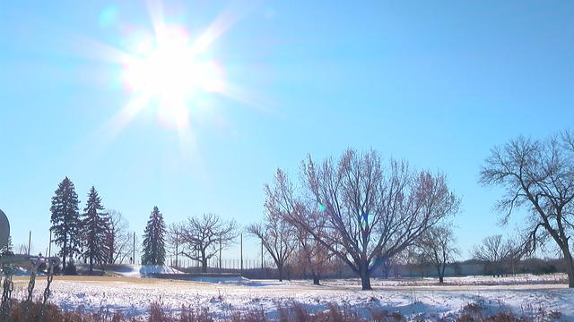
The bitter cold eases a bit on Thursday in the Twin Cities before a full-fledged weekend warm-up.
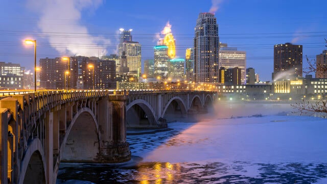
Minnesotans should brace for another cold one on Wednesday, but the warm-up is not far off now.
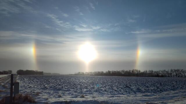
Dangerous cold continues in the Twin Cities on Tuesday, with highs barely getting above zero.

Dangerous cold has prompted a NEXT Weather Alert on Monday.
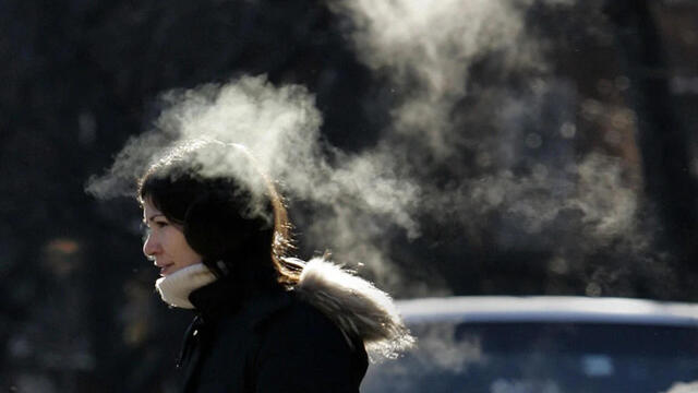
After a bitter cold morning with wind chills near minus 30, Thursday will be mostly sunny, with temps in the single digits.

Highs in the Twin Cities on Tuesday will be in the single digits, and some spots around the state won't get above zero.
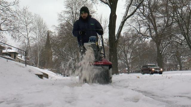
A storm system is set to arrive in Minnesota late Friday, likely bringing several inches of snow for the Twin Cities.
![A snowplow driver for MnDot plowed a stretch of north bound I-35 W south of Burnsville Parkway Wednesday January 25, 2017 in Lakeville, MN.] JERRY HOLT • jerry.holt@startribune.com](https://assets1.cbsnewsstatic.com/hub/i/r/2024/03/25/abafa994-6260-4a90-9daa-2b42c8a7cffb/thumbnail/640x360/485d0627749719a51fc5f97af79d54b4/gettyimages-1156592518.jpg#)
A winter weather advisory goes into effect late Friday night in the Twin Cities as a snow-filled storm system approaches Minnesota.
The Twin Cities will deal with powerful winds on Thursday, and significant snowfall is right around the corner.

Expect a few slick roads Wednesday night in the Twin Cities due to light snow from a passing system — with a larger snow system hitting this weekend.