
Sunny Tuesday in the metro; heavy rain to close out week
The sun will return to the Twin Cities on Tuesday with highs in the low 80s.
Watch CBS News

Joseph Dames joined the WCCO team during the winter of 2022. He is currently the weekday morning meteorologist. You can also catch him putting together weather, science, and other environmental stories during the week.
Born and raised in Illinois, just outside of Chicago, Joseph grew up in the small community of Plainfield. Plainfield is notorious for the 1990 F5 tornado, which started Joseph's interest in weather. Joseph stayed in the state of Illinois for his education and attended Eastern Illinois University with a concentration in broadcast meteorology.
Joseph spent seven years covering wildfires, ice storms, and atmospheric rivers in Portland, Oregon. As a fan of snow, he is excited to trade those in for winter forecasting.
You better believe he has a love for Chicago sports and, of course, that deep dish pizza. In his down time, Joseph spends his days and nights hitting the outdoors, enjoying live music, and trying all the different restaurants around the area.
Feel free to send in weather questions, photos, or weather and environmental story ideas to Joseph.

The sun will return to the Twin Cities on Tuesday with highs in the low 80s.
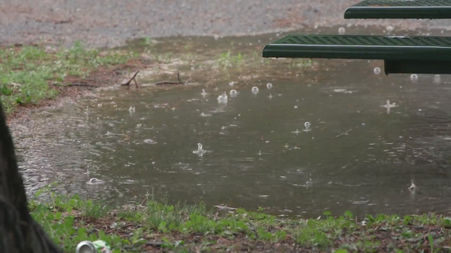
The weekend won't be a washout, but Minnesotans should keep their umbrellas handy.

Expect a high around 80 degrees. The rain should hold off until after dinner.
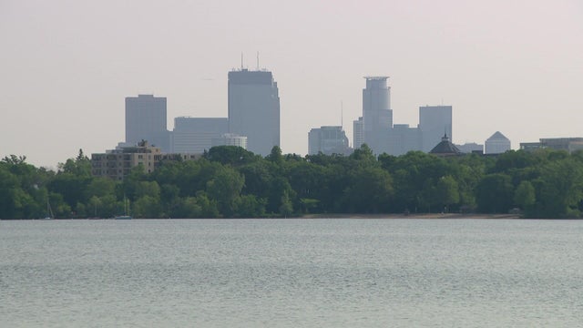
Air quality alerts from Canadian wildfire smoke expired Wednesday across Minnesota, with sunny skies and highs in the upper 70s in the Twin Cities.
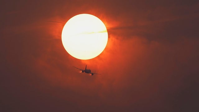
An air quality alert remains in effect through Wednesday at noon for most of Minnesota, though conditions should improve in the overnight hours.

The Minnesota Pollution Control Agency extended its air quality alert on Monday for another couple days due to lingering Canadian wildfire smoke.
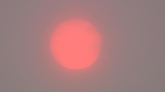
The Minnesota Pollution Control Agency has issued a statewide air quality alert, including all tribal nations, that will be in effect through 6 p.m. Monday due to smoke from the raging wildfires in Canada's Manitoba and Saskatchewan provinces.
Scattered showers will linger through Thursday afternoon with a few rumbles of thunder possible in the Twin Cities.

Passing showers are possible over the next couple of days in parts of Minnesota, but most areas should stay dry.

Memorial Day will be mostly dry in Minnesota, with a mix of sun and clouds and highs in the 70s.

Friday brings sunshine, light winds and highs in the upper 60s in the Twin Cities.

After a cloudy start, sunshine will reign in the Twin Cities on Thursday, with highs reaching into the mid-60s.

Rain will taper off slowly on Wednesday in the Twin Cities, then several dry, warmer days follow.

Widespread rain will persist through Tuesday night, especially across southern and western Minnesota. But much of the wildfire-ravaged northeast corner of the state is under a red flag warning.
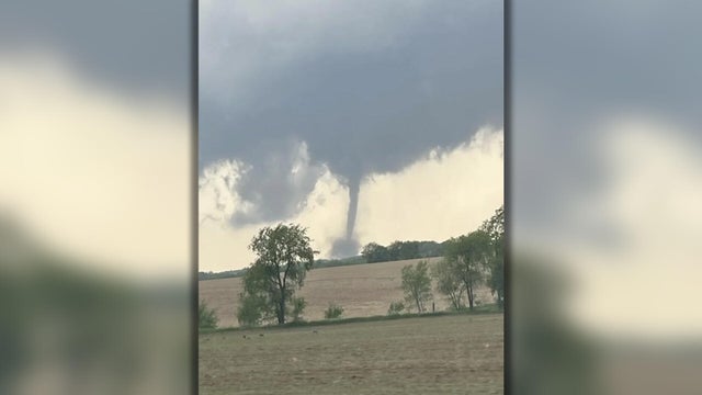
While Minnesota was largely spared from Thursday's severe storms, possible tornadoes were spotted in at least two western Wisconsin communities.