
Falling temps Friday in Twin Cities, warmer temps return Sunday
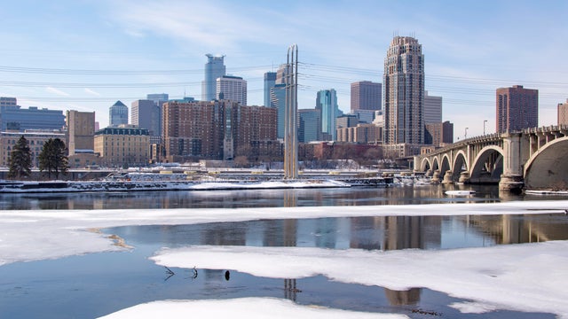
Temperatures are falling Friday in the Twin Cities, with increasing northwest winds making it feel colder through the day.
Watch CBS News

Temperatures are falling Friday in the Twin Cities, with increasing northwest winds making it feel colder through the day.

Above-average temperatures continue Thursday in the Twin Cities, with the several days above freezing.

Tuesday will stay cold and dry for most parts of Minnesota.

Cooler air returns Monday in the Twin Cities, with highs in the teens and dry, calm weather.
High pressure drifting south from Canada will drive Minnesota's forecast for the next few days.

Deep winter cold holds on in Minnesota on Wednesday, but a slow turn to warmer weather is ahead.

The cold, quiet pattern continues Tuesday in Minnesota.
Dangerous cold has tightened its grip on Minnesota on Friday.

Brutal cold will take over Minnesota on Thursday.

Wednesday features light snow to the Twin Cities and other parts of Minnesota before a sharp turn to dangerous cold.

Tuesday may bring some light snow to parts of Minnesota, and an arctic chill will take hold in the coming days.
Bitter cold will dominate in Minnesota on Monday as highs stay in the single digits.

Cold is the theme of the weekend, with light snow possible Sunday.

A clipper diving south will bring spotty, light snow showers through Thursday afternoon across the Twin Cities, as well as areas north of the Interstate 94 corridor.

A sharp cooldown will take hold in the Twin Cities on Wednesday.