
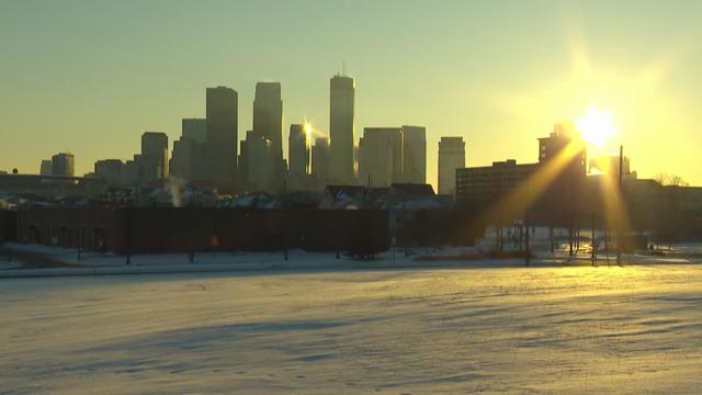
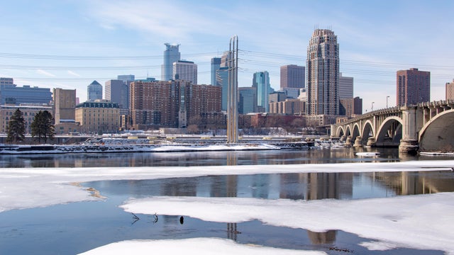
Thursday kicks off mild stretch in the Twin Cities
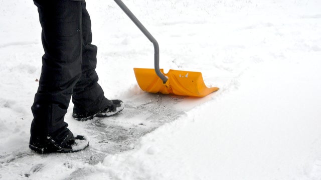
Above-average temperatures continue Thursday in the Twin Cities, with the several days above freezing.
Watch CBS News

Above-average temperatures continue Thursday in the Twin Cities, with the several days above freezing.

Tuesday will stay cold and dry for most parts of Minnesota.

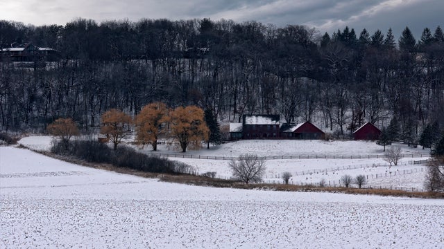
Cooler air returns Monday in the Twin Cities, with highs in the teens and dry, calm weather.
Even with some sunshine later, the metro will barely get back into the double digits Friday afternoon, with feels-like temps staying below zero all day.

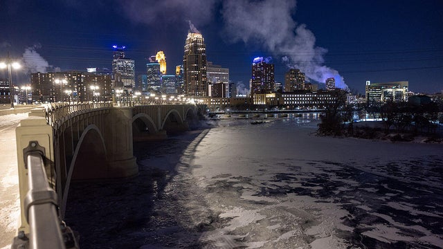
Deep winter cold holds on in Minnesota on Wednesday, but a slow turn to warmer weather is ahead.
The cold, quiet pattern continues Tuesday in Minnesota.
A cold weather advisory is in place through 11 a.m. for most of the state, including the Twin Cities.
Wednesday features light snow to the Twin Cities and other parts of Minnesota before a sharp turn to dangerous cold.

Tuesday may bring some light snow to parts of Minnesota, and an arctic chill will take hold in the coming days.
Bitter cold will dominate in Minnesota on Monday as highs stay in the single digits.
Cold is the theme of the weekend, with light snow possible Sunday.
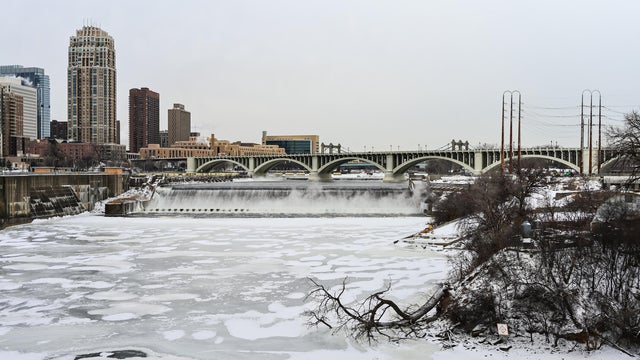
A sharp cooldown will take hold in the Twin Cities on Wednesday.
Tuesday will be a mild January day, with highs near 40 in the Twin Cities.

The Twin Cities will start the week with a couple of mild days before temperatures start falling again.
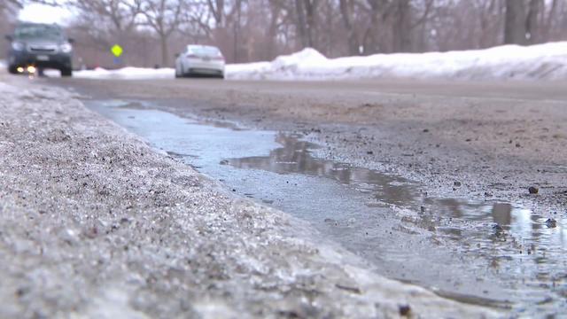
The Twin Cities is in for another mild night on Wednesday. Temperatures will fall below freezing overnight, with another icy morning possible on the roads.