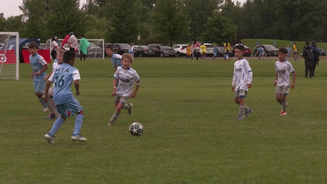
Rain postpones some USA Cup soccer games in Blaine
"It's probably the most diverse weather experience we've had in the years that I can remember," said Sara Soli, who has worked with the tournament for nine years.
Watch CBS News

Born and raised in Pittsburgh, Pennsylvania, weather has been a passion for Adam for as long as he can remember! Whether it was thunderstorms or winter storms, Adam has always been geeking out. After earning his meteorology degree from Penn State, he made his way to the Ohio Valley to forecast for WTOV.
From there, he went to WAND to cover the elements in Central Illinois. One of his most memorable days was rushing from a Christmas parade to the studio to help cover Illinois' largest December tornado outbreak when an EF-3 tore through Taylorville, IL.
Most recently, he was the host of AccuWeather Prime for the AccuWeather Network covering storms coast to coast and interviewing notable guests like Neil DeGrasse Tyson & NASA astronaut Jessica Watkins.
In his free time, you can usually find Adam on the tennis or volleyball courts, at a concert or out exploring local restaurants and breweries. You may even see him at your local airport since he recently earned his private pilot's certificate. Wherever you see him, be sure to say hi!

"It's probably the most diverse weather experience we've had in the years that I can remember," said Sara Soli, who has worked with the tournament for nine years.
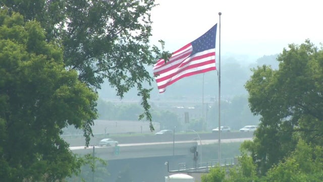
An air quality alert remains in effect for all of Minnesota until 9 a.m. Monday.
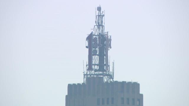
An air quality alert is in effect for all of Minnesota from Saturday through 9 a.m. Monday because of Canadian wildfire smoke.

Drier, less humid air continues to move in behind Saturday's system, setting us up for a gorgeous Sunday.
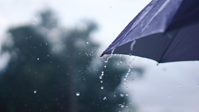
Spotty storms on Saturday will bring Minnesotans some relief from the heat and humidity.
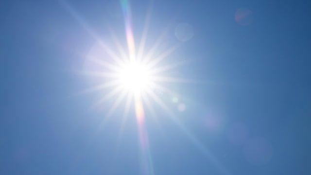
Daytime heating could spark isolated storms in southern Minnesota and western Wisconsin on Thursday. Expect highs near 90 degrees with increasing humidity.
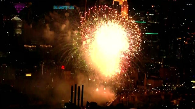
'Tis the season for fireworks as we celebrate the Fourth of July. No doubt they'll fill the skies with pretty colors, but they'll also fill it with smoke.

There is a slight risk for severe weather on Saturday with heavy rain, wind and hail being the main threats. Isolated tornadoes are possible, too.
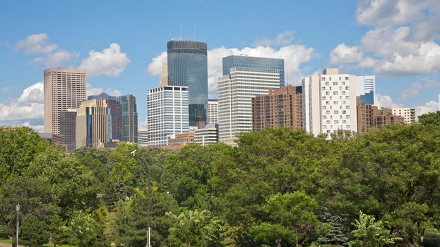
Minnesota will see a drier, calmer end to week before spotty storms return for the weekend.
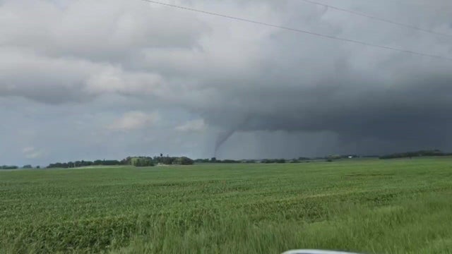
There will be a lull in the rain overnight into Thursday morning before more arrives.
Expect more uncomfortable heat and humidity to continue on Sunday, with highs back in the mid-90s and heat index values reaching up to 110 degrees.
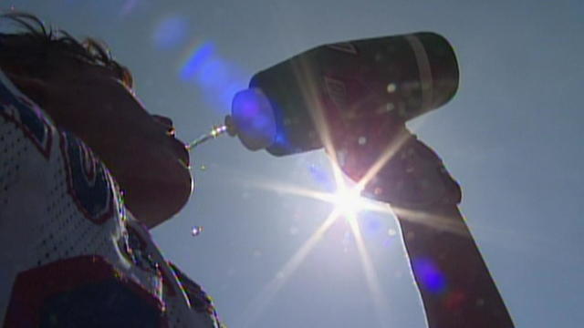
Saturday and Sunday are both NEXT Weather Alert days in Minnesota due to dangerous heat and humidity.
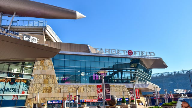
With forecasted highs into the mid-90s both days, keeping cool will be top of mind for many. The Twins are set to play right in the middle of the day.
The work week will wrap with the return of rain to parts of Minnesota, then the first pop of summer heat and humidity will arrive over the weekend.
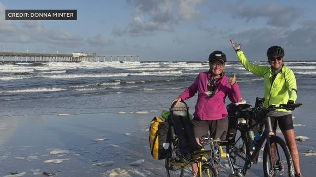
"I found out right before I left that I'm going to have a fourth grandchild in October and and it is so meaningful to me that I get to be this little tiny grain of salt and do something meaningful for generations to come, and that includes my grandkids," said Donna Minter.