
A cool weekend ahead, but a warmup starts next week
While a mix of sun and clouds will be around for the day, a stray shower can't be ruled out, and high temperatures will make their way into the low 60s by the afternoon hours.
Watch CBS News

Born and raised in Pittsburgh, Pennsylvania, weather has been a passion for Adam for as long as he can remember! Whether it was thunderstorms or winter storms, Adam has always been geeking out. After earning his meteorology degree from Penn State, he made his way to the Ohio Valley to forecast for WTOV.
From there, he went to WAND to cover the elements in Central Illinois. One of his most memorable days was rushing from a Christmas parade to the studio to help cover Illinois' largest December tornado outbreak when an EF-3 tore through Taylorville, IL.
Most recently, he was the host of AccuWeather Prime for the AccuWeather Network covering storms coast to coast and interviewing notable guests like Neil DeGrasse Tyson & NASA astronaut Jessica Watkins.
In his free time, you can usually find Adam on the tennis or volleyball courts, at a concert or out exploring local restaurants and breweries. You may even see him at your local airport since he recently earned his private pilot's certificate. Wherever you see him, be sure to say hi!

While a mix of sun and clouds will be around for the day, a stray shower can't be ruled out, and high temperatures will make their way into the low 60s by the afternoon hours.

Thursday's clipper has the Twin Cities locked into fall vibes on Friday, with breezy winds and chilly temperatures.

After the coolest morning the Twin Cities has experienced since May 25, clouds return on Thursday afternoon, preventing any chance for an increase in warmth.
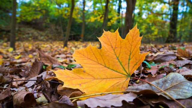
In the wake of Tuesday's front, expect a mostly cloudy, cool and breezy day in the Twin Cities on Wednesday.
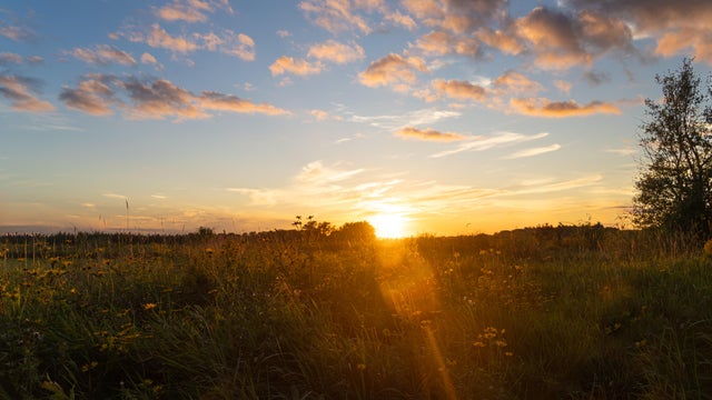
Pockets of dense fog Sunday morning will give way to sunshine and seasonable temperatures in the afternoon, with highs close to 80.
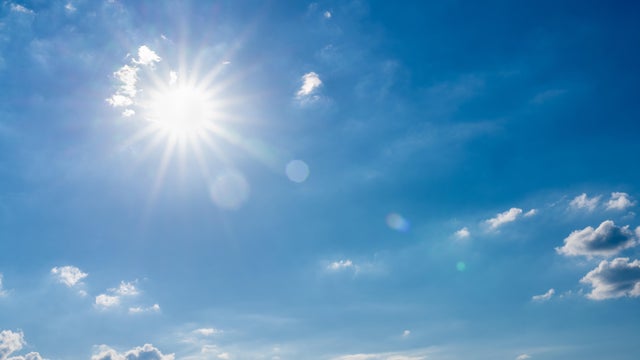
With high pressure just off to the east, the Twin Cities should expect a fairly quiet Labor Day weekend.
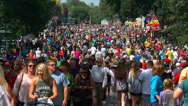
Labor Day weekend should stay mostly dry, with a low chance for isolated showers on Friday and Saturday, mainly in far western Minnesota.
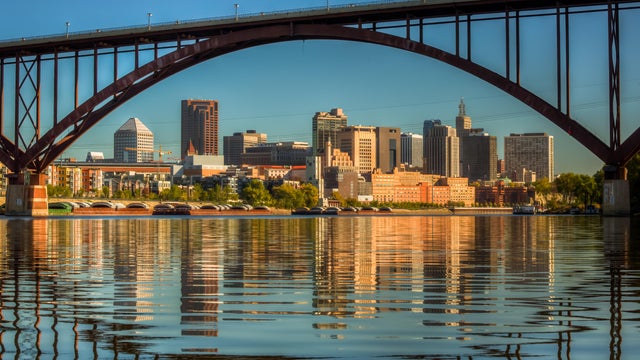
A weak boundary could spark a stray shower Thursday night and overnight Friday in the Twin Cities, but most will stay dry.
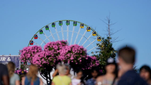
The cool air continues to settle in Sunday, with afternoon highs staying in the 60s.
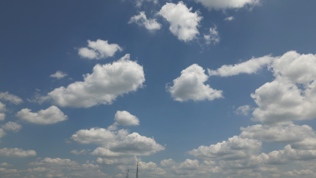
Now that a cold front has moved through the area, breezy winds and cooler temperatures are here, bringing a taste of fall to Minnesota and western Wisconsin.
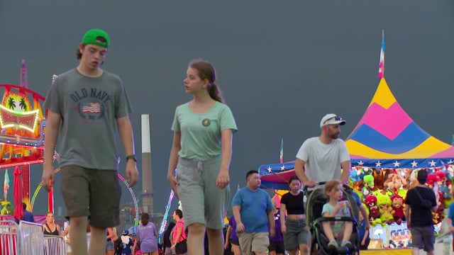
An approaching cold front will continue to throw clouds across the Twin Cities on Friday morning.
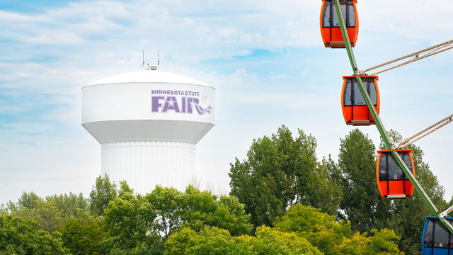
Expect a beautiful start to the Minnesota State Fair on Thursday, with sunshine and seasonable temperatures topping off in the low 80s.
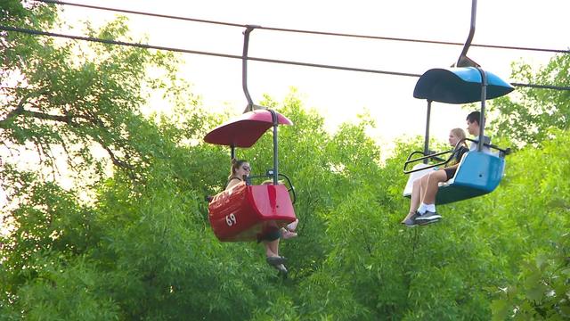
The sun is shining bright over the fairgrounds for all the finishing touches ahead of the "Great Minnesota Get-Together." But Mother Nature isn't always this cooperative.

A NEXT Weather Alert is in effect Sunday evening as parts of the state are preparing for another onslaught after morning storms.
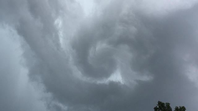
The severe storms that rolled through Saturday morning are done for the time being.