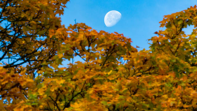
Cooler temperatures and sunshine on tap for Sunday
Temperatures will be falling back into the lower 70s on Sunday.
Born and raised in Pittsburgh, Pennsylvania, weather has been a passion for Adam for as long as he can remember! Whether it was thunderstorms or winter storms, Adam has always been geeking out. After earning his meteorology degree from Penn State, he made his way to the Ohio Valley to forecast for WTOV.
From there, he went to WAND to cover the elements in Central Illinois. One of his most memorable days was rushing from a Christmas parade to the studio to help cover Illinois' largest December tornado outbreak when an EF-3 tore through Taylorville, IL.
Most recently, he was the host of AccuWeather Prime for the AccuWeather Network covering storms coast to coast and interviewing notable guests like Neil DeGrasse Tyson & NASA astronaut Jessica Watkins.
In his free time, you can usually find Adam on the tennis or volleyball courts, at a concert or out exploring local restaurants and breweries. You may even see him at your local airport since he recently earned his private pilot's certificate. Wherever you see him, be sure to say hi!

Temperatures will be falling back into the lower 70s on Sunday.
After a beautiful #Top10WxDay on Friday, Saturday will be slightly warmer, thanks to a weak cold front dropping into the northern part of the state.
The Eco Experience from the Minnesota Pollution Control Agency draws more than a quarter million visitors each year.
A NEXT Weather Alert is in place Sunday due to excessive heat, and Monday will be even hotter.
Saturday kicks off a hot and steamy first weekend for the Minnesota State Fair, with Sunday and Monday both declared NEXT Weather Alert days.
Humidity is on the rise Friday, with things expected to heat up for the first weekend of the Minnesota State Fair.
After nearly a decade of work, the National Weather Service finally finished upgrading its weather radars.
The rain is finally gone and Minnesotans can look forward to a dry day ahead on Sunday.
The threat of isolated showers continues on Saturday, mainly in areas eastern Minnesota and western Wisconsin.
The start of meteorological fall, Sept. 1, is just about two weeks away and the Climate Prediction Center just released their outlook for the season.
An area of low pressure pushes across Minnesota on Friday, keeping things cloudy with a chance for isolated showers and thundershowers all day.
The metro is in for two days of scattered showers and storms ahead of a stellar weekend.
Canadian wildfire smoke is impacting air quality again across parts of Minnesota this week. This time, the Arrowhead is the bullseye, where an alert remains in place until Thursday morning.
A high-pressure system will bring more sunshine to Minnesota as the weekend wraps up.
High pressure continues to move in on Saturday, which will help calm the winds and begin a warming trend.