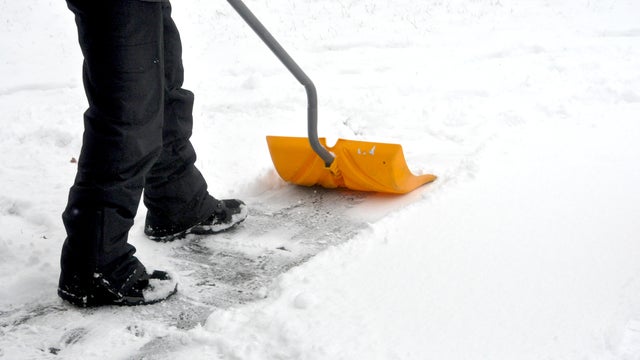
As snow wraps up Wednesday, temps start to tumble in Twin Cities
Tuesday's storm is gone, but some lingering flurries will slide through the Twin Cities on Wednesday.
Watch CBS News

Born and raised in Pittsburgh, Pennsylvania, weather has been a passion for Adam for as long as he can remember! Whether it was thunderstorms or winter storms, Adam has always been geeking out. After earning his meteorology degree from Penn State, he made his way to the Ohio Valley to forecast for WTOV.
From there, he went to WAND to cover the elements in Central Illinois. One of his most memorable days was rushing from a Christmas parade to the studio to help cover Illinois' largest December tornado outbreak when an EF-3 tore through Taylorville, IL.
Most recently, he was the host of AccuWeather Prime for the AccuWeather Network covering storms coast to coast and interviewing notable guests like Neil DeGrasse Tyson & NASA astronaut Jessica Watkins.
In his free time, you can usually find Adam on the tennis or volleyball courts, at a concert or out exploring local restaurants and breweries. You may even see him at your local airport since he recently earned his private pilot's certificate. Wherever you see him, be sure to say hi!

Tuesday's storm is gone, but some lingering flurries will slide through the Twin Cities on Wednesday.

Temperatures will start at zero degrees Sunday but the wind chill will make it feel closer to -15 degrees.
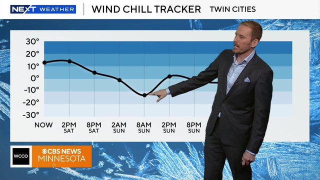
Temperatures will remain in the teens on Saturday, but the wild chill will make it feel closer to the single digits.
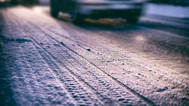
Temperatures will drop to the teens in Minnesota on Friday night following a snow system in the Twin Cities that impacted Friday morning's commute.
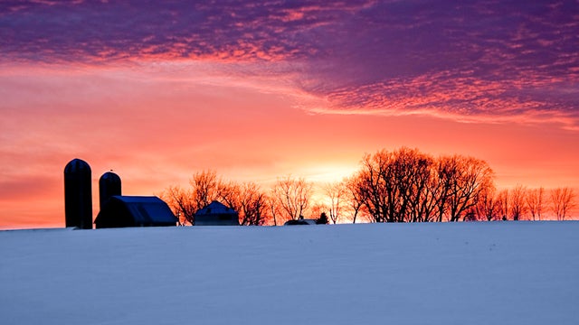
After the coldest morning Twin Cities residents have felt since mid-February, temperatures gradually warm through Thursday afternoon and evening.
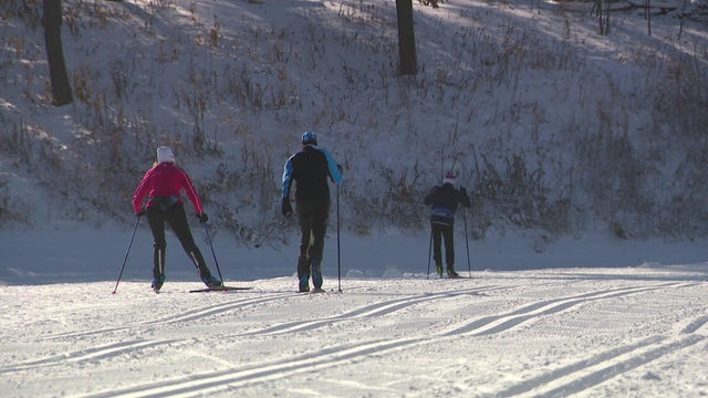
After a stretch of lackluster winters, there are quite a few Minnesotans excited about the cold and snowy weather we're seeing.
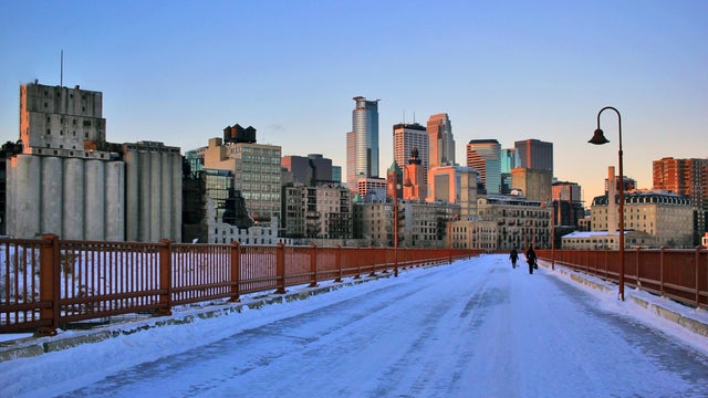
On Monday evening, the first wave of a two-part storm arrives, bringing a few showers across southern Minnesota. Round two arrives Tuesday morning as rain for southern and central Minnesota and snow up north.
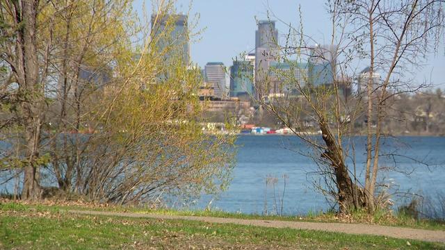
After a #Top10WxDay closed out the weekend in the Twin Cities, things will start to feel more seasonable at the start of the workweek.
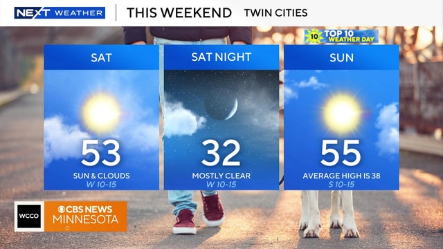
Weekend temps will be above average with highs in the 50s. Cold weather by Thanksgiving.

High pressure overhead will finally bring lots of sunshine to the Twin Cities to wrap up the work week.
Tailgaters at the Vikings-Bears game can expect upper 30s, but it is expected to be in the 40s by midday.

After record breaking heat on Friday, an overnight cold front has brought the temps down to the 50s for the metro area and high 30s to low 40s for other parts of the state.

After a stunning northern lights show Tuesday night, Minnesotans will get another chance to spot them on Wednesday.
As winds pick up Sunday, feels-like temperatures stay in the teens all day after starting in single digits across greater Minnesota.

Dock 6 Pottery in St. Anthony, Minnesota, continues to evolve since it first opened in 1995. It's a classroom, an art gallery and a fun spot to try your hand at something new.