
Snowy weekend in Twin Cities ahead of arctic blast
Aside from some flurries on Friday morning, it's a fairly quiet end to the week in the Twin Cities with a mostly cloudy sky.
Watch CBS News

Born and raised in Pittsburgh, Pennsylvania, weather has been a passion for Adam for as long as he can remember! Whether it was thunderstorms or winter storms, Adam has always been geeking out. After earning his meteorology degree from Penn State, he made his way to the Ohio Valley to forecast for WTOV.
From there, he went to WAND to cover the elements in Central Illinois. One of his most memorable days was rushing from a Christmas parade to the studio to help cover Illinois' largest December tornado outbreak when an EF-3 tore through Taylorville, IL.
Most recently, he was the host of AccuWeather Prime for the AccuWeather Network covering storms coast to coast and interviewing notable guests like Neil DeGrasse Tyson & NASA astronaut Jessica Watkins.
In his free time, you can usually find Adam on the tennis or volleyball courts, at a concert or out exploring local restaurants and breweries. You may even see him at your local airport since he recently earned his private pilot's certificate. Wherever you see him, be sure to say hi!

Aside from some flurries on Friday morning, it's a fairly quiet end to the week in the Twin Cities with a mostly cloudy sky.
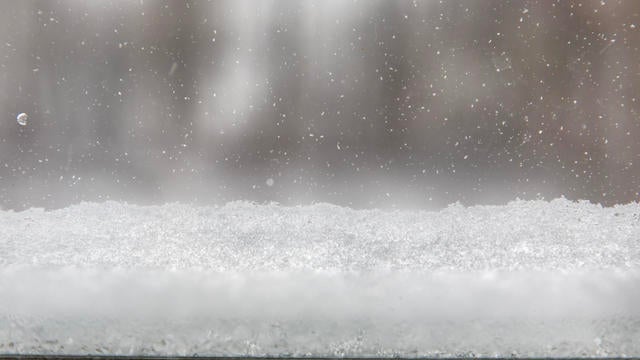
Light snow is coming to the Twin Cities on Thursday, with a weekend clipper bringing accumulating snow and an arctic chill early next week.
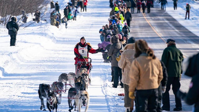
The John Beargrease Sled Dog Marathon stretches from Duluth to Grand Portage.

Clouds will dominate the day with the hopes of any sun later very low.
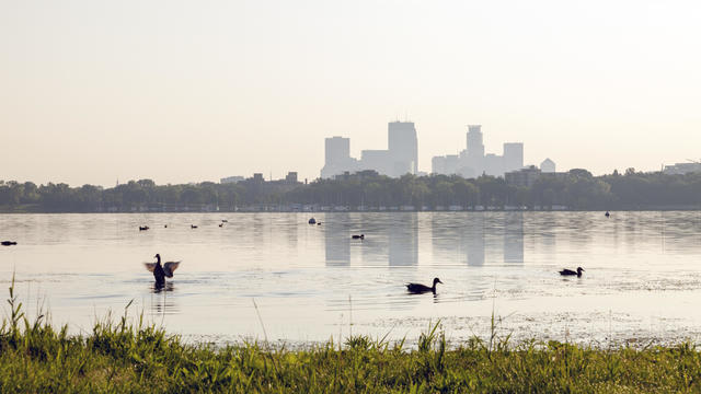
After a soggy Friday, the rain has wrapped up for the Twin Cities and will continue to lift northeast through the morning.
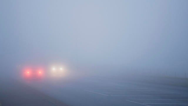
A dense fog advisory is in effect across Minnesota through noon on Friday, and early isolated showers are possible ahead of widespread rain later in the afternoon and evening.

2024 was indeed the warmest year on record in the Twin Cities, including warmth records set in the fall and winter.
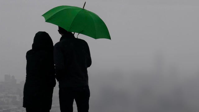
Thursday will be a mild one in the Twin Cities ahead of some December rain and even warmer temperatures.
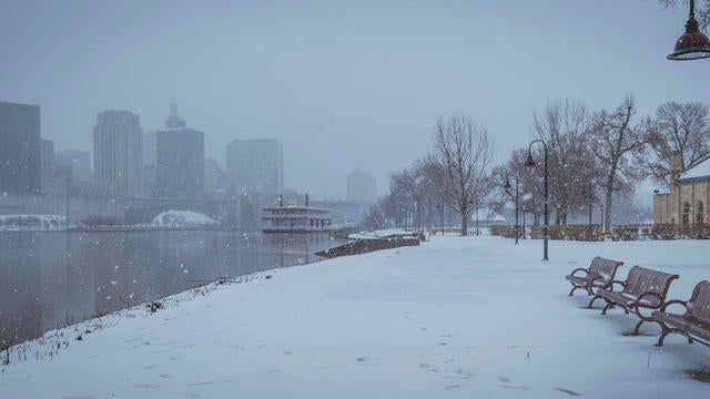
A foggy Christmas Day could lead to slick spots on the roads.
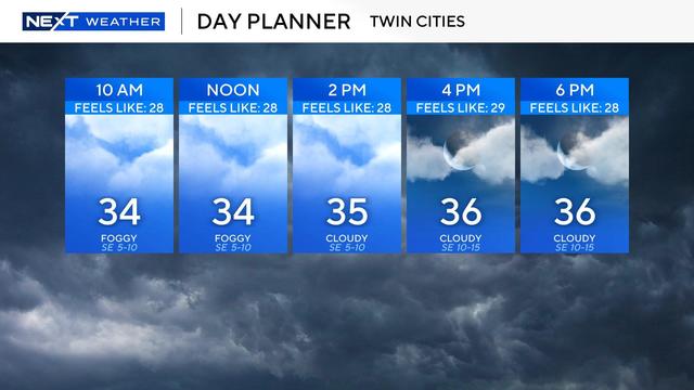
High temperatures will stay in the 30s through Monday — an improvement after last week's deep freeze.
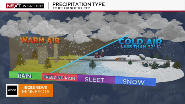
Saturday will start off dry but a light snow (and potentially icy mix) will move into the metro as the morning progresses.
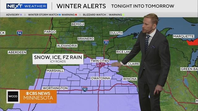
Friday kicks off with more frigid conditions in Minnesota, but temperatures, clouds and wind pick up through the afternoon before our next storm.
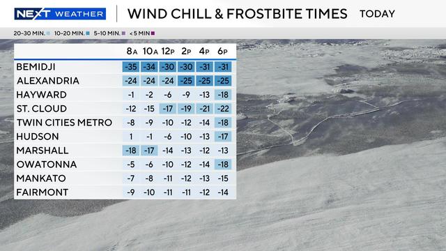
Cold weather advisories are in effect for northern Minnesota from Wednesday evening through Thursday morning for dangerous wind chills around minus 35 degrees.
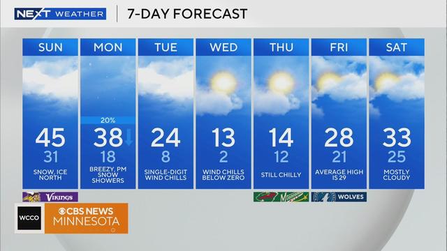
In the Twin Cities on Sunday, temperatures will get up into the 40s in the afternoon before gusty winds move into the area.

This weekend will be the warmest in two weeks, however the warm-up will be short lived.