Weather front brings showers to Bay Area; Blizzard conditions to the Sierra Crest
SAN FRANCISCO -- The calendar has flipped to November and so have the weather conditions in the San Francisco Bay Area -- a parched region that has struggled through months of drought.
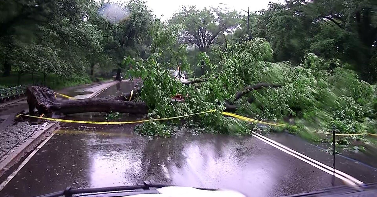
The leading edge of a potent winter storm front began moving into the Bay Area in the predawn hours on Tuesday, bringing with it the threat of cold downpours.
The National Weather Service predicted as much as 1/2 an inch of rain in San Francisco and elsewhere with up to an inch along the San Mateo coast, in the Santa Cruz Mountains and the East Bay hills and southward along the Big Sur coast.
"The steadier precipitation will quickly taper to showers behind the front from north to south by late afternoon Tuesday," weather service forecasters said.
By mid-morning, the intensity of the showers had picked up enough to force transit officials to slow down BART trains, triggering 10 minute delays.
Piggybacking on the front will be cooler conditions with temperatures in the 50s lingering even after the showers move eastward.
As for a timeline, the weather service said the major impact will come in the morning hours.
"The cold front and onset of precip will entering the North Bay 4-6 a.m. San Francisco 9-11 a.m., South Bay/East Bay 11 a.m.-1 p.m., Santa Cruz southward after 1 p.m.," according to the weather service.
While the showers will be a welcomed relief in the Bay Area, the front will deliver its strongest punch in the Sierra.
A winter weather advisory was set to go into effect at noon until 8 p.m. Wednesday.
"Snow expected," the weather service said of conditions in the Sierra. "Total snow accumulations of 1 to 3 inches, except 3 to 9 inches above 7000 feet. Winds gusting as high as 50 mph with 80 to 100 mph gusts along the Sierra crest."
"Travel could be very difficult to impossible," the National Weather Service said.
The California Highway Patrol office at Truckee, in the Sierra north of Lake Tahoe, said drivers should expect chain controls and delays due to the first significant snow of the season.
Once the front moves through another may arrive for the weekend.
"Latest forecast will bring another round of precip to the Bay Area late Friday night/early Saturday," the weather service said. "It could be a wet and dreary second half of he weekend with lingering precip. A few tenths of precip will b possible by Sunday."