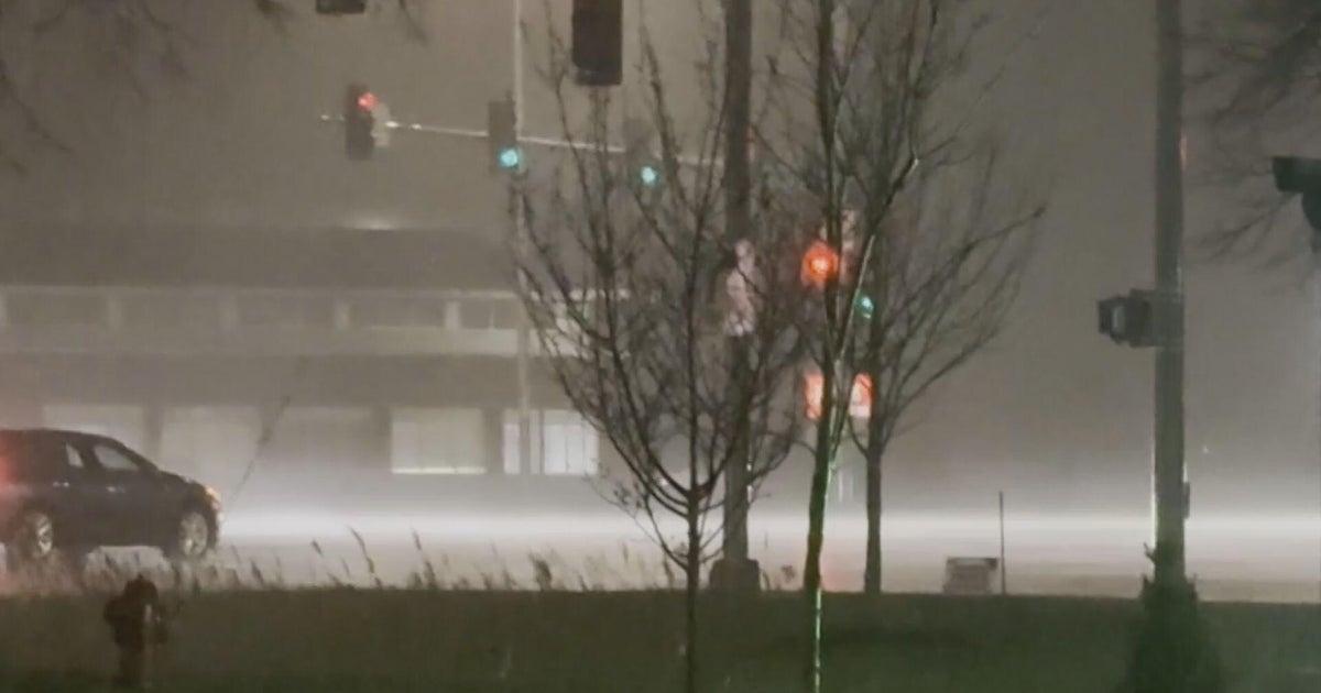
Tule fog blankets Central Valley; Hazardous diving conditions on I-5
SAN FRANCISCO -- A perfect combination of high humidity, calm winds and frigid overnight temperatures teamed up early Sunday to trigger a massive bank of tule fog covering the Central Valley from Sacramento all the way south to Bakersfield.
The conditions also led to a dense fog advisory in Solano County and eastern Alameda County including along I-580 over the Altamount Pass between Livermore and Tracy.
"Tule fog in the Central Valley continues to expand northward early this Sunday morning," the National Weather Service's San Francisco office tweeted in issuing the Bay Area advisory. "This will bring foggy conditions to Bryon, Brentwood, Antioch and potentially around Concord through sunrise. Dive cautiously when encountering reduced visibility."
In the wake of last week's rain showers, a mass of cold air has parked over the Bay Area, triggering frigid temperatures.
The weather service said San Francisco's average high temperature between Nov 1-Dec 17 is the eighth coolest on record and the coolest since 51 degree reading in 1994. It has also led temperatures dipping into the 20s in some areas in the early morning hours.
The chilly early morning temperatures and wet conditions give rise to the fog locally.
"Dense fog, Tule fog from the Central Valley, continues to edge across the Delta on light winds," forecasters warned. "Expect very poor visibilities less than 1/4 mile until 11 a.m. PST this morning when the fog should then mix out with good visibilities (greater than 5 miles) developing from late morning through afternoon."
The conditions were creating hazardous driving conditions along miles of the I-5.
